
Ravin de l'Enfer (Hell Ravine)

Key facts
- Distance
- 12.1 km
- Ascent
- +795 m
- Descent
- −583 m
- Estimated time
- 3 hr 55
- hiking
- Difficulty
- Moderate
- official rating
- Route
- Loop
- back to the start
Profile and gradient
- under 10%
- 10 to 20%
- over 20%
Gradient along the route: 6.9 km under 10%, 4.8 km at 10 to 20% and 0.3 km over 20%. Elevation from 518 m to 895 m over 12.1 km.
Description
Discovery of two valleys in Ventalon-en-Cévennes Explore two valleys in Ventalon-en-Cévennes, a village which, like others in the Cévennes, has no centre but consists of scattered hamlets instead. Signposts will guide you all along this route, as well as yellow painted waymarks. In the description below, the signposted place names and/or directions are given in bold italics between quotation marks: Starting at “Ventalon en Cévennes”, walk towards “Conches” via “St-Frézal-Le Temple”, “Le Géripon”, “Le Chambonnet”. In “Conches” head towards “Le Salson”. In “Le Salson”, faire un allée/retour au Moulin par « Salson Nord ». De retour à « Le Salson », direction « Ventalon en Cévennes » par « Le Grenier », « Le Géripon » et « St-Frézal, Le Temple ». This hike is taken from the guidebook Mont Lozère - Pays des sources, Sommet des Cévennes, published by the Pôle de pleine nature du Mont Lozère.
Difficulty
Official rating: moderate, by Parc national des Cévennes.
Before you go
- Make sure your equipment is appropriate for the day’s weather conditions. Remember that the weather changes quickly in the mountains. Take enough water, wear sturdy shoes and put on a hat. Please close all gates and barriers behind you.
Getting there
Start: Lieu-dit « le Temple » à Ventalon en Cévennes, Ventalon en Cévennes (48).
Sources
- Track: Parc national des Cévennes, Licence Ouverte 1.0, Licence Ouverte 1.0 (Etalab) (destination.cevennes-parcnational.fr/trek/40198-Le-Ravin-de-l-Enfer). Time estimated by GPX Path with the Mac app rule, breaks not included.
- Official elevation gain: 795 m, Parc national des Cévennes
Nearby tracks

 © OpenStreetMap, SRTM · OpenTopoMap (CC-BY-SA)
Mill Trail
Cévennes, Ventalon en Cévennes (48) · LoopOfficial rating by Parc national des Cévennes © OpenStreetMap, SRTM · OpenTopoMap (CC-BY-SA)
The secret ravine of Champernal
Cévennes, Saint-Privat-de-Vallongue (48) · LoopOfficial rating by Parc national des Cévennes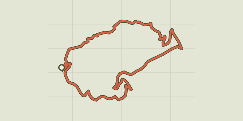 © OpenStreetMap, SRTM · OpenTopoMap (CC-BY-SA)
Champdomergue
Cévennes, Saint-Privat-de-Vallongue (48) · LoopOfficial rating by Parc national des Cévennes © OpenStreetMap, SRTM · OpenTopoMap (CC-BY-SA)
Vallon de Soubrelargue
Cévennes, Saint-Privat-de-Vallongue (48) · LoopOfficial rating by Parc national des Cévennes © OpenStreetMap, SRTM · OpenTopoMap (CC-BY-SA)
Le Villaret
Cévennes, Pont de Montvert - Sud Mont Lozère (48) · LoopOfficial rating by Parc national des Cévennes © OpenStreetMap, SRTM · OpenTopoMap (CC-BY-SA)
L'Espinas
Cévennes, Ventalon en Cévennes (48) · LoopOfficial rating by Parc national des Cévennes