
Les Rouquis

Key facts
- Distance
- 6.1 km
- Ascent
- +338 m
- Descent
- −299 m
- Estimated time
- 2 hr
- hiking
- Difficulty
- Easy
- official rating
- Route
- Loop
- back to the start
Profile and gradient
- under 10%
- 10 to 20%
- over 20%
Gradient along the route: 3.8 km under 10%, 1.4 km at 10 to 20% and 0.9 km over 20%. Elevation from 356 m to 649 m over 6.1 km.
Description
Take the time to stroll through the perched village of St-André: its lanes, its church, its château and the magnificent spinning-mill take us back to the prosperous but difficult period of the 18th century. The path climbs into the chestnut and holm oak grove. Steps carved into the granite bedrock bear witness to its regular use. The hamlet of La Rouviérette, located on the draille (drovers’ road), is a stopover place for transhumant shepherds going up onto summer pastures with their sheep. Up there, the views over the surroundings slopes are panoramic. Signposts will guide you all along this route. In the description below, the signposted place names and/or directions are given in bold italics between quotation marks: From the car park in "Saint- André-de-Majencoules", walk towards "La Rouviérette" via - "L’Église", - "Ancienne filature", - "Le Buis". - "La Rouviérette Sud", - At "La Rouvièrette" walk through the hamlet and continue to "Combe Croze". - At “Combe Croze” leave the path on your right and continue to “Le Rouquis”. - At “Le Rouquis” leave the GR® long-distance path and head to - "Laparot", - "Parc du Château", - "L'Église". - "Saint- André-de-Majencoules".
Difficulty
Official rating: easy, by Parc national des Cévennes.
Before you go
- Somewhat steep descent. Before committing yourself to this walk, ensure that it is suitable for your activity level and ability. Remember that the weather changes quickly in the mountains. Take enough water.
Getting there
Start: Saint André de Majencoules, Saint-André-de-Majencoules (30).
Sources
- Track: Parc national des Cévennes, Licence Ouverte 1.0, Licence Ouverte 1.0 (Etalab) (destination.cevennes-parcnational.fr/trek/74771-Les-Rouquis). Time estimated by GPX Path with the Mac app rule, breaks not included.
- Official elevation gain: 338 m, Parc national des Cévennes
Nearby tracks

 © OpenStreetMap, SRTM · OpenTopoMap (CC-BY-SA)
La Devinayre
Cévennes, Saint-André-de-Majencoules (30) · LoopOfficial rating by Parc national des Cévennes © OpenStreetMap, SRTM · OpenTopoMap (CC-BY-SA)
Col de Bès
Cévennes, Val-d'Aigoual (30) · LoopOfficial rating by Parc national des Cévennes © OpenStreetMap, SRTM · OpenTopoMap (CC-BY-SA)
Taleyrac
Cévennes, Val-d'Aigoual (30) · LoopOfficial rating by Parc national des Cévennes © OpenStreetMap, SRTM · OpenTopoMap (CC-BY-SA)
L'oignon doux - sentier de découverte
Cévennes, Val-d'Aigoual (30) · LoopOfficial rating by Parc national des Cévennes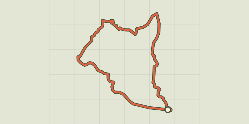 © OpenStreetMap, SRTM · OpenTopoMap (CC-BY-SA)
Camias trail
Cévennes, Saint-André-de-Majencoules (30) · LoopOfficial rating by Parc national des Cévennes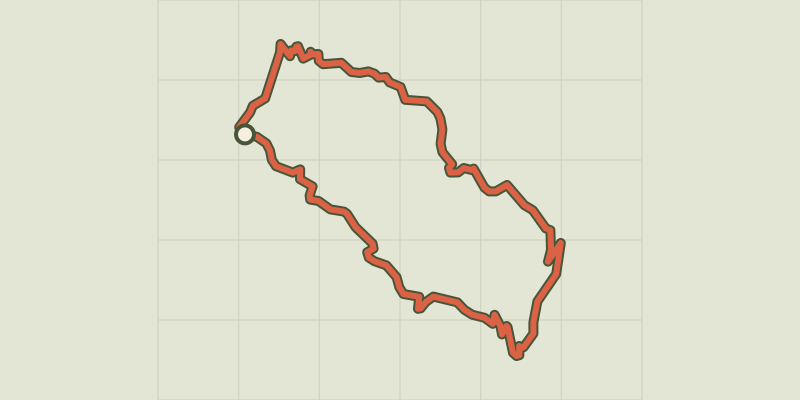 © OpenStreetMap, SRTM · OpenTopoMap (CC-BY-SA)
L’Arboux
Cévennes, Mandagout (30) · LoopOfficial rating by Parc national des Cévennes