
Taleyrac

Key facts
- Distance
- 9.2 km
- Ascent
- +557 m
- Descent
- −494 m
- Estimated time
- 3 hr 05
- hiking
- Difficulty
- Moderate
- official rating
- Route
- Loop
- back to the start
Profile and gradient
- under 10%
- 10 to 20%
- over 20%
Gradient along the route: 4.4 km under 10%, 3.9 km at 10 to 20% and 0.9 km over 20%. Elevation from 368 m to 710 m over 9.2 km.
Description
This itinerary lets you explore a remarkable landscape of crop terraces used for sweet onion growing, and typical hamlets. The path winds between the Hérault and Taleyrac valleys, in a contact zone of schist and granite, and uses an ancient track linking Saint-André de Majencoules and Valleraugue. Explore the Taleyrac valley and its surroundings, which were once planted with mulberry and peach trees but today concentrate on mild-onion farming. From the car park, at "Vallée de Taleyrac-Campredon", go up in the village and take the direction of: - "La Molière", (NB: on the left are waymarks for a discovery trail). Continue on - " La Bessède". As you leave La Bessède, follow the road on your left for 800 m, then take the track on the right to return to the "Col de l’Elze". - At "Col de l'Elze", turn left and follow the ridge path to get back onto the road coming from La Bessède. Immediately take the path on the right going downhill to Taleyrac. - At "Mas Frejon", turn left onto it and walk for 1.5 km to return to "Vallée de Taleyrac-Campredon".
Difficulty
Official rating: moderate, by Parc national des Cévennes.
Before you go
- Before committing yourself to a circuit, ensure that it is suitable for your activity level and ability. Remember that the weather changes quickly in the mountains. Take enough water. Please close any gates and barriers behind you. Keep your dog on a leash, flocks of goats and sheep graze the area.
Getting there
Start: Campredon - Vallée de Taleyrac, Val-d'Aigoual (30).
Sources
- Track: Parc national des Cévennes, Licence Ouverte 1.0, Licence Ouverte 1.0 (Etalab) (destination.cevennes-parcnational.fr/trek/74614-Taleyrac). Time estimated by GPX Path with the Mac app rule, breaks not included.
- Official elevation gain: 557 m, Parc national des Cévennes
Nearby tracks

 © OpenStreetMap, SRTM · OpenTopoMap (CC-BY-SA)
L'oignon doux - sentier de découverte
Cévennes, Val-d'Aigoual (30) · LoopOfficial rating by Parc national des Cévennes © OpenStreetMap, SRTM · OpenTopoMap (CC-BY-SA)
Col de Bès
Cévennes, Val-d'Aigoual (30) · LoopOfficial rating by Parc national des Cévennes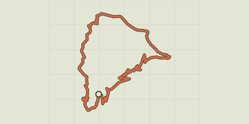 © OpenStreetMap, SRTM · OpenTopoMap (CC-BY-SA)
The cart trail
Cévennes, Val-d'Aigoual (30) · LoopOfficial rating by Parc national des Cévennes © OpenStreetMap, SRTM · OpenTopoMap (CC-BY-SA)
La Devinayre
Cévennes, Saint-André-de-Majencoules (30) · LoopOfficial rating by Parc national des Cévennes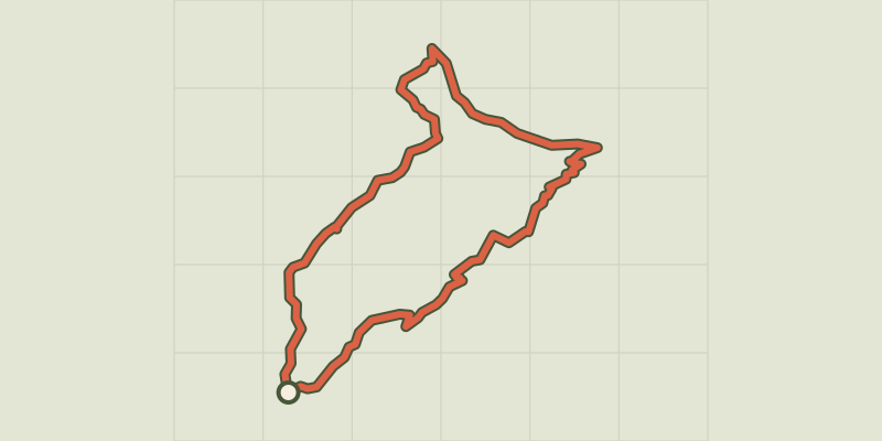 © OpenStreetMap, SRTM · OpenTopoMap (CC-BY-SA)
Sheep bridge
Cévennes, Val-d'Aigoual (30) · LoopOfficial rating by Parc national des Cévennes © OpenStreetMap, SRTM · OpenTopoMap (CC-BY-SA)
Les Rouquis
Cévennes, Saint-André-de-Majencoules (30) · LoopOfficial rating by Parc national des Cévennes