
La Devinayre

Key facts
- Distance
- 16.2 km
- Ascent
- +833 m
- Descent
- −709 m
- Estimated time
- 5 hr 05
- hiking
- Difficulty
- Difficult
- official rating
- Route
- Loop
- back to the start
Profile and gradient
- under 10%
- 10 to 20%
- over 20%
Gradient along the route: 10.5 km under 10%, 5.3 km at 10 to 20% and 0.4 km over 20%. Elevation from 259 m to 640 m over 16.2 km.
Description
Explore the old paths linking hamlets in this typically Cévenol landscape. There are beautiful views ranging from Mont Aigoual to the sea. This 16 km hike lets you explore several typical Cévenol hamlets and villages, walk through chestnut orchards and, from the ridge, admire the magnificent landscape. Signposts will guide you all along this route, as well as yellow painted waymarks. In the description below, the signposted place names and/or directions are given in bold italics between quotation marks: From the signpost “Peyregrosse” on the car park, go towards - “Les Tronquisses”. At “Les Tonquisses”, turn left towards - "Ambec", - “Notre-Dame-de-la-Rouvière”. Walk through the village and at the signpost “Notre Dame de la Rouvière”, take the road on the right towards - “Col de la Tribale”. At “Col de la Tribale”, go towards “Le Pèze”, taking the D 420 road for 400 m. - At “Le Pèze”, take “Col de Devinayre". - At "Col du Devinayre", continue on - “Le Trainier”, - “Col de Peyreraube”, - "Valbonne", - "Col des Cabones", - “Les Tronquisses”, and return to the car park "Peyregrosse".
Difficulty
Official rating: difficult, by Parc national des Cévennes.
Before you go
- Before committing yourself to a circuit, ensure that it is suitable for your activity level and ability. Remember that the weather changes quickly in the mountains. Take enough water.
Getting there
Start: Peyregrosse, Saint-André-de-Majencoules (30).
Sources
- Track: Parc national des Cévennes, Licence Ouverte 1.0, Licence Ouverte 1.0 (Etalab) (destination.cevennes-parcnational.fr/trek/74654-Col-du-Devinayre). Time estimated by GPX Path with the Mac app rule, breaks not included.
- Official elevation gain: 833 m, Parc national des Cévennes
Nearby tracks

 © OpenStreetMap, SRTM · OpenTopoMap (CC-BY-SA)
Les Rouquis
Cévennes, Saint-André-de-Majencoules (30) · LoopOfficial rating by Parc national des Cévennes © OpenStreetMap, SRTM · OpenTopoMap (CC-BY-SA)
Col de Bès
Cévennes, Val-d'Aigoual (30) · LoopOfficial rating by Parc national des Cévennes © OpenStreetMap, SRTM · OpenTopoMap (CC-BY-SA)
Taleyrac
Cévennes, Val-d'Aigoual (30) · LoopOfficial rating by Parc national des Cévennes © OpenStreetMap, SRTM · OpenTopoMap (CC-BY-SA)
L'oignon doux - sentier de découverte
Cévennes, Val-d'Aigoual (30) · LoopOfficial rating by Parc national des Cévennes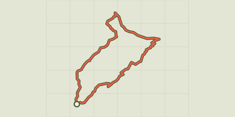 © OpenStreetMap, SRTM · OpenTopoMap (CC-BY-SA)
Sheep bridge
Cévennes, Val-d'Aigoual (30) · LoopOfficial rating by Parc national des Cévennes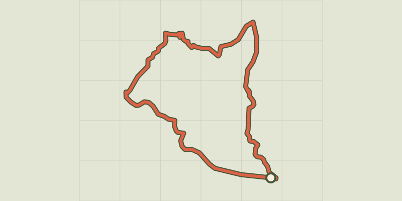 © OpenStreetMap, SRTM · OpenTopoMap (CC-BY-SA)
Camias trail
Cévennes, Saint-André-de-Majencoules (30) · LoopOfficial rating by Parc national des Cévennes