
MTB 6 - Hures, graded red
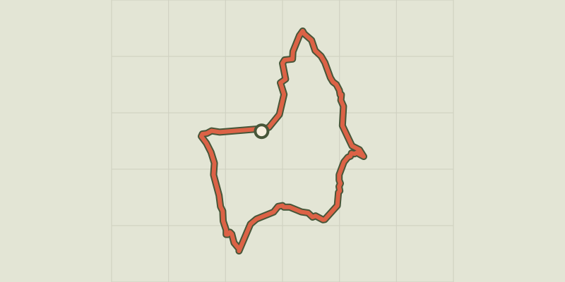
Key facts
- Distance
- 23.2 km
- Ascent
- +491 m
- Descent
- −408 m
- Estimated time
- 2 hr 30
- mtb
- Difficulty
- Difficult
- official rating
- Route
- Loop
- back to the start
Profile and gradient
- under 10%
- 10 to 20%
- over 20%
Gradient along the route: 23.2 km under 10%. Elevation from 928 m to 1,072 m over 23.2 km.
Description
From bare (limestone) plateau to forested plateau, you crisscross the causse Méjean, an unusual territory and a beautiful place to discover! From the car park, take the road to the left towards Le Buffre. 1) Leave the road and take the track on the right; go through several gates as you head towards Le Fraïsse. 2) Just before Le Fraïsse farm, turn right (GR®60) and continue straight ahead on the track till you reach the D63. 3) Turn right onto the road till you reach Nivoliers. Go uphill into the village on the left, then turn right to cross it. As you leave the village, continue straight ahead on the uphill track. 200 m further on, turn right onto a path that that runs alongside the Przewalski horse enclosure. Cross the two cattle grids and continue on the track. 4) NB: Before the climb, turn right towards La Bégude Blanche. At the last house, turn left and take the track, going through a gate and alongside fields, pass a lavogne (waterhole) and go through the hamlet of Saubert (Careful, slow down!). 5) As you leave the hamlet, continue on the road. Join up with the lane and turn left onto it. 6) Just before the crossroads, take the track on the right. Go through a gate and several barriers (please remember to shut the gates to keep livestock safe). The track climbs to the Serre de Gaoujac and goes back down to the D 63. 7) Turn left onto it and continue till you reach Drigas. 8) Go up into the village and take the first right (GRP) towards the quarry. Cross it and continue straight ahead to Hures.
Difficulty
Official rating: difficult, by Parc national des Cévennes.
Before you go
- No off-roading. You are strongly advised to wear a helmet. Do not forget your repair and tool kits. Please close all gates and barrier behind you. Slow down in farms and hamlets. Carry sufficient water. Be careful around livestock and guard dogs: get off your bike if necessary; do not rush them!
Getting there
Start: Hures, Hures-la-Parade (48).
Sources
- Track: Parc national des Cévennes, Licence Ouverte 1.0, Licence Ouverte 1.0 (Etalab) (destination.cevennes-parcnational.fr/trek/43406-Hures---VTT-n6). Time estimated by GPX Path with the Mac app rule, breaks not included.
- Official elevation gain: 491 m, Parc national des Cévennes
Nearby tracks

 © OpenStreetMap, SRTM · OpenTopoMap (CC-BY-SA)
Mas Saint-Chély, MTB circuit #5 (graded blue)
Cévennes, Mas-Saint-Chély (48) · LoopOfficial rating by Parc national des Cévennes © OpenStreetMap, SRTM · OpenTopoMap (CC-BY-SA)
The Roof of the Cévennes (by mountain-bike)
Cévennes, Rousses (48) · LoopOfficial rating by Parc national des Cévennes © OpenStreetMap, SRTM · OpenTopoMap (CC-BY-SA)
The Camisards (by mountain-bike)
Cévennes, Rousses (48) · LoopOfficial rating by Parc national des Cévennes © OpenStreetMap, SRTM · OpenTopoMap (CC-BY-SA)
The Causse Loop (by mountain-bike)
Cévennes, Florac Trois Rivières (48) · LoopOfficial rating by Parc national des Cévennes © OpenStreetMap, SRTM · OpenTopoMap (CC-BY-SA)
Voie Verte la Cévenole de Florac à Saint Julien d'Arpaon
Cévennes, Florac Trois Rivières (48) · Out and backOfficial rating by Parc national des Cévennes © OpenStreetMap, SRTM · OpenTopoMap (CC-BY-SA)
The Corniche des Cévennes (by mountain-bike)
Cévennes, Cans et Cévennes (48) · LoopOfficial rating by Parc national des Cévennes