
Mas Saint-Chély, MTB circuit #5 (graded blue)
Key facts
- Distance
- 16.6 km
- Ascent
- +285 m
- Descent
- −224 m
- Estimated time
- 1 hr 40
- mtb
- Difficulty
- Easy
- official rating
- Route
- Loop
- back to the start
Profile and gradient
- under 10%
- 10 to 20%
- over 20%
Gradient along the route: 16.6 km under 10%. Elevation from 921 m to 1,032 m over 16.6 km.
Description
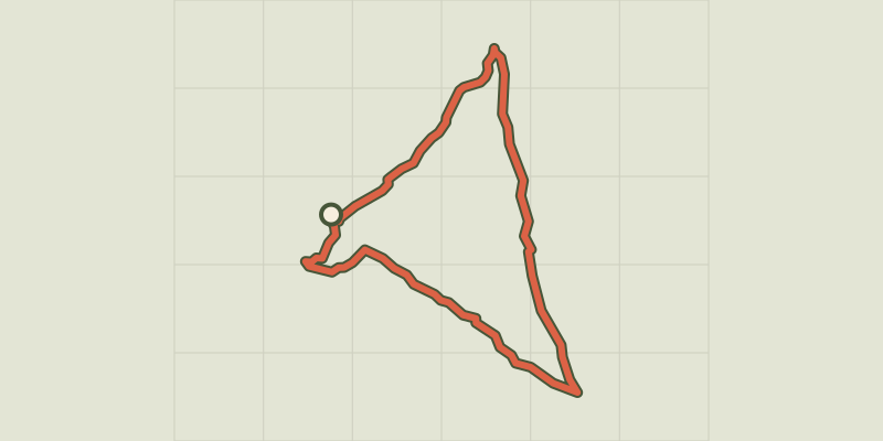
This circuit takes you through the large areas impacted by the forest fire of August 2003. On a detour, you can visit Saint Cosmas’ Chapel [chapelle de Saint-Côme], spared by the fire and recently restored. This bare landscape, shaped by generations of farmers and sheep-breeders, is closely linked to human history. From the car park by the church, take the road that goes downhill to the war memorial. Continue straight ahead between the houses. Continue on a track suitable for motor vehicles that turns into a path and climbs to a wide track. - Take the track on the left (detour: you can reach Saint-Cosmas’ Chapel by taking the track on the right for 700m). Stay on the main track. - Go right then left on the tarred road towards Toulousette. Leave it behind to take a track near a container shelter, then continue to Mas de Val. - Cross the hamlet. Continue on a path bordered by low walls until you reach the D 16. - Cross the road and take the track opposite. Go through two gates (close them properly). At the second gate, take the track on the left to the D 16. - Continue straight ahead. Climb up a slope and go back down towards a road (NB: technical section). - Continue opposite towards Prunet until you reach a small pass. - Go through the fence to take the track on the left. Follow the main path, through a second fence. When you see the village, go left then right to reach the road. By the houses, turn right twice to return to the starting-point.
Difficulty
Official rating: easy, by Parc national des Cévennes.
Before you go
- No off-roading. You are strongly encouraged to wear a helmet. Do not forget your repair kit and a small tool kit. Close barriers and gates behind you. Slow down in farms and hamlets.
Getting there
Start: Mas Saint-Chély, Mas-Saint-Chély (48).
Sources
- Track: Parc national des Cévennes, Licence Ouverte 1.0, Licence Ouverte 1.0 (Etalab) (destination.cevennes-parcnational.fr/trek/74726-Mas-Saint-Chely---VTT-n5). Time estimated by GPX Path with the Mac app rule, breaks not included.
- Official elevation gain: 285 m, Parc national des Cévennes
Nearby tracks

 © OpenStreetMap, SRTM · OpenTopoMap (CC-BY-SA)
MTB 6 - Hures, graded red
Cévennes, Hures-la-Parade (48) · LoopOfficial rating by Parc national des Cévennes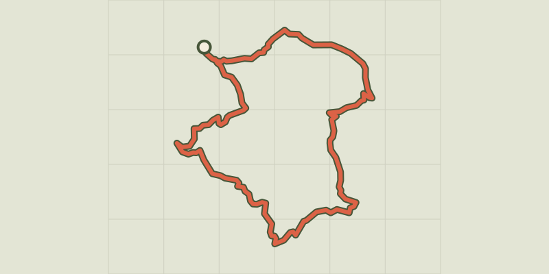 © OpenStreetMap, SRTM · OpenTopoMap (CC-BY-SA)
Sauveterre - VTT n°1
Cévennes, Gorges du Tarn Causses (48) · LoopOfficial rating by Parc national des Cévennes © OpenStreetMap, SRTM · OpenTopoMap (CC-BY-SA)
The Bramont Valley (by mountain-bike)
Cévennes, Ispagnac (48) · LoopOfficial rating by Parc national des Cévennes © OpenStreetMap, SRTM · OpenTopoMap (CC-BY-SA)
The Quézac River Bend (by mountain-bike)
Cévennes, Ispagnac (48) · LoopOfficial rating by Parc national des Cévennes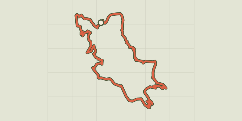 © OpenStreetMap, SRTM · OpenTopoMap (CC-BY-SA)
Le Single (by mountain-bike)
Cévennes, Ispagnac (48) · LoopOfficial rating by Parc national des Cévennes © OpenStreetMap, SRTM · OpenTopoMap (CC-BY-SA)
The gardens of Ispagnac (by mountain-bike)
Cévennes, Ispagnac (48) · LoopOfficial rating by Parc national des Cévennes