
Pessades farm
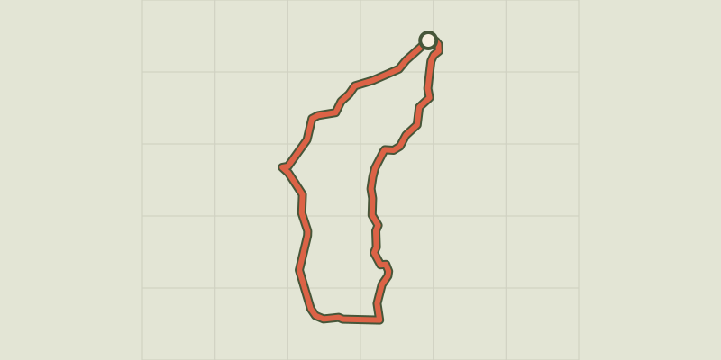
Key facts
- Distance
- 7.9 km
- Ascent
- +206 m
- Descent
- −190 m
- Estimated time
- 2 hr 10
- hiking
- Difficulty
- Easy
- official rating
- Route
- Loop
- back to the start
Profile and gradient
- under 10%
- 10 to 20%
- over 20%
Gradient along the route: 7.5 km under 10% and 0.4 km at 10 to 20%. Elevation from 840 m to 951 m over 7.9 km.
Description
An outdoor exploration of traditional architecture and panoramic views over the Causse de Sauveterre and the mountains of the Aubrac. Sheltered from the predominant winds, you walk on a draille (drovers’ road) through the very heart of the UNESCO World Heritage site. Limestone crosses adorned with the benefactor’s name dot the route like votive offerings. Take the tarred road for 800 m towards La Périgouse. 1) Leave the road by turning left onto the second track by the cross of Rocoplan. 2) Go round a bend and continue straight ahead on the path that descends alongside the fence. 3) At the bottom of the downhill slope, leave the track on the left. 4) By a fork near the road, turn left on the path that goes up on the ridge. 5) By the barrier, leave the path to take the track on the right. Cross the road and continue straight ahead. 6) At the crossroads, continue on the left, following the track uphill (former draille or drovers’ road). 7) Before you arrive at the top of the ridge, turn left onto a small path towards Pessades (waymarked yellow and red). 8) Cross the road and follow the path that runs alongside Pessades farm on the left. 9) 1 km after Pessades farm, turn right. 10) At the cross, go uphill to Champerboux, and, in the village, take the second road on the left to return to the car park.
Difficulty
Official rating: easy, by Parc national des Cévennes.
Before you go
- Make sure your equipment is appropriate for the day’s weather conditions. Remember that the weather changes quickly in the mountains. Take enough water, wear sturdy shoes and put on a hat. Please close all gates and barriers behind you.
Getting there
Start: Champerboux, sur la route de la Périgouse, Gorges du Tarn Causses (48).
Sources
- Track: Parc national des Cévennes, Licence Ouverte 1.0, Licence Ouverte 1.0 (Etalab) (destination.cevennes-parcnational.fr/trek/43389-La-ferme-de-Pessades). Time estimated by GPX Path with the Mac app rule, breaks not included.
- Official elevation gain: 206 m, Parc national des Cévennes
Nearby tracks
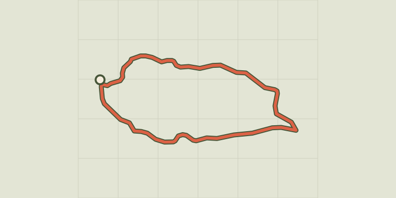
 © OpenStreetMap, SRTM · OpenTopoMap (CC-BY-SA)
Sauveterre
Cévennes, Gorges du Tarn Causses (48) · LoopOfficial rating by Parc national des Cévennes © OpenStreetMap, SRTM · OpenTopoMap (CC-BY-SA)
Patrimoine naturel et culturel de Boissets
Cévennes, Gorges du Tarn Causses (48) · LoopOfficial rating by Parc national des Cévennes © OpenStreetMap, SRTM · OpenTopoMap (CC-BY-SA)
Domaine des Boissets
Cévennes, Gorges du Tarn Causses (48) · LoopOfficial rating by Parc national des Cévennes © OpenStreetMap, SRTM · OpenTopoMap (CC-BY-SA)
The riverbanks
Cévennes, Gorges du Tarn Causses (48) · LoopOfficial rating by Parc national des Cévennes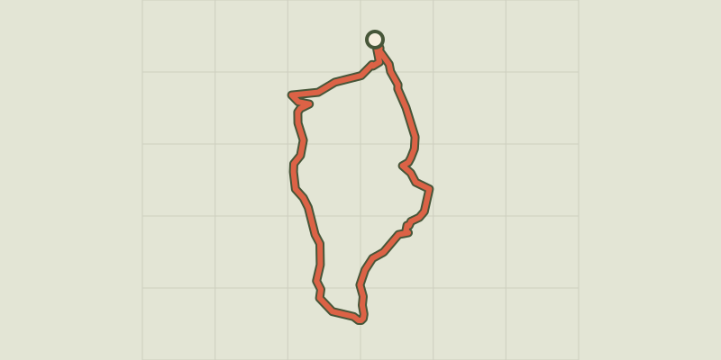 © OpenStreetMap, SRTM · OpenTopoMap (CC-BY-SA)
Paros
Cévennes, Ispagnac (48) · LoopOfficial rating by Parc national des Cévennes © OpenStreetMap, SRTM · OpenTopoMap (CC-BY-SA)
cirque de Saint-Chély-du-Tarn
Cévennes, Gorges du Tarn Causses (48) · LoopOfficial rating by Parc national des Cévennes