
The riverbanks
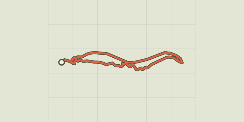
Key facts
- Distance
- 3.9 km
- Ascent
- +242 m
- Descent
- −145 m
- Estimated time
- 1 hr 10
- hiking
- Difficulty
- Easy
- official rating
- Route
- Loop
- back to the start
Profile and gradient
- under 10%
- 10 to 20%
- over 20%
Gradient along the route: 2.7 km under 10% and 1.2 km at 10 to 20%. Elevation from 471 m to 551 m over 3.9 km.
Description
A short stroll on the banks of the River Tarn in the shade of large beeches, where beavers sometimes attack even the big trees, to appreciate the plunging views onto the village of Sainte-Énimie. From the village, cross the bridge towards Meyrueis, turn left in front of the Bleu Nuit hotel. The circuit starts after the square. Take the street that goes uphill on the left towards some house and passes in front of the “jokers’” belvedere. - Turn left onto the path towards Castelbouc. It goes downhill towards the riverbank. Follow it for 1.5 km, to the outdoor-activities centre. - By the submersible bridge, take the road on the right that goes uphill towards the centre’s reception. Continue straight ahead and veer slightly right after the buildings. - Take on your right the path that runs above the centre. Go uphill, always turning left until you reach the upper path. - At the signpost for “Prunets/Sainte-Énimie”, turn right towards Sainte-Énimie. Continue straight ahead for about 1.5 km, to the large wooden cross opposite Sainte-Énimie. Then go downhill to the road and return to your starting-point.
Difficulty
Official rating: easy, by Parc national des Cévennes.
Before you go
- During flooding, this path is impassable. Shaded path with access to the river. Make sure your equipment is appropriate for the day’s weather conditions. Remember that the weather changes quickly in the mountains. Take enough water, wear sturdy shoes and put on a hat. Please close all gates and barriers behind you.
Getting there
Start: Ste-Enimie, Route de Meyrueis après le square, Gorges du Tarn Causses (48).
Sources
- Track: Parc national des Cévennes, Licence Ouverte 1.0, Licence Ouverte 1.0 (Etalab) (destination.cevennes-parcnational.fr/trek/45056-Les-berges). Time estimated by GPX Path with the Mac app rule, breaks not included.
- Official elevation gain: 242 m, Parc national des Cévennes
Nearby tracks

 © OpenStreetMap, SRTM · OpenTopoMap (CC-BY-SA)
Domaine des Boissets
Cévennes, Gorges du Tarn Causses (48) · LoopOfficial rating by Parc national des Cévennes © OpenStreetMap, SRTM · OpenTopoMap (CC-BY-SA)
Patrimoine naturel et culturel de Boissets
Cévennes, Gorges du Tarn Causses (48) · LoopOfficial rating by Parc national des Cévennes © OpenStreetMap, SRTM · OpenTopoMap (CC-BY-SA)
cirque de Saint-Chély-du-Tarn
Cévennes, Gorges du Tarn Causses (48) · LoopOfficial rating by Parc national des Cévennes © OpenStreetMap, SRTM · OpenTopoMap (CC-BY-SA)
Pessades farm
Cévennes, Gorges du Tarn Causses (48) · LoopOfficial rating by Parc national des Cévennes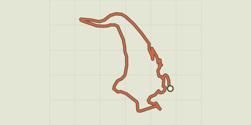 © OpenStreetMap, SRTM · OpenTopoMap (CC-BY-SA)
Castelbouc
Cévennes, Gorges du Tarn Causses (48) · LoopOfficial rating by Parc national des Cévennes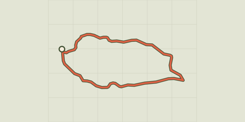 © OpenStreetMap, SRTM · OpenTopoMap (CC-BY-SA)
Sauveterre
Cévennes, Gorges du Tarn Causses (48) · LoopOfficial rating by Parc national des Cévennes