
The secret ravine of Champernal

Key facts
- Distance
- 1.9 km
- Ascent
- +81 m
- Descent
- −57 m
- Estimated time
- 30 min
- hiking
- Difficulty
- Very easy
- official rating
- Route
- Loop
- back to the start
Profile and gradient
- under 10%
- 10 to 20%
- over 20%
Gradient along the route: 1.5 km under 10%, 0.3 km at 10 to 20% and 0.1 km over 20%. Elevation from 427 m to 475 m over 1.9 km.
Description
Leave behind the agitation of the main road to plunge into the quiet of this refreshing ravine. As you come out of the maze of terraces, let the former railroad (now left to evolve naturally) guide you. In this steep-sided ravine overlooked by an impressive rail bridge, human activities have long worked together with the whims of the Mediterranean climate to create an astonishing ecosystem. This walk will guide your first steps as a naturalist, between the proliferation of nature in constant evolution and the tranquil remains of the past. The path goes downhill to a brook before crossing it on a footbridge. The way back up is among old terraced cropland and joins up with the former departmental railway (CFD). You continue along the CFD and cross the disused railway bridge. After the last interpretative point, you fork onto a narrower path which goes back downhill to Champernal bridge.
Difficulty
Official rating: very easy, by Parc national des Cévennes.
Before you go
- This path has rocky sections and overhangs the river. For your own safety, you must stay on the marked path.
Getting there
Start: Pont de Champernal, Saint-Privat-de-Vallongue (48).
Sources
- Track: Parc national des Cévennes, Licence Ouverte 1.0, Licence Ouverte 1.0 (Etalab) (destination.cevennes-parcnational.fr/trek/43402-Le-Ravin-secret-de-Champernal). Time estimated by GPX Path with the Mac app rule, breaks not included.
- Official elevation gain: 81 m, Parc national des Cévennes
Nearby tracks
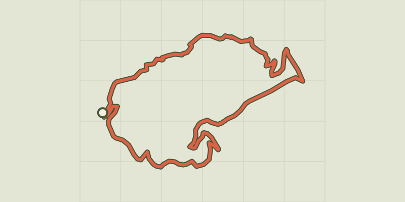
 © OpenStreetMap, SRTM · OpenTopoMap (CC-BY-SA)
Champdomergue
Cévennes, Saint-Privat-de-Vallongue (48) · LoopOfficial rating by Parc national des Cévennes © OpenStreetMap, SRTM · OpenTopoMap (CC-BY-SA)
Vallon de Soubrelargue
Cévennes, Saint-Privat-de-Vallongue (48) · LoopOfficial rating by Parc national des Cévennes © OpenStreetMap, SRTM · OpenTopoMap (CC-BY-SA)
Ravin de l'Enfer (Hell Ravine)
Cévennes, Ventalon en Cévennes (48) · LoopOfficial rating by Parc national des Cévennes © OpenStreetMap, SRTM · OpenTopoMap (CC-BY-SA)
Mill Trail
Cévennes, Ventalon en Cévennes (48) · LoopOfficial rating by Parc national des Cévennes © OpenStreetMap, SRTM · OpenTopoMap (CC-BY-SA)
Le Gardonnet
Cévennes, Saint-Hilaire-de-Lavit (48) · LoopOfficial rating by Parc national des Cévennes © OpenStreetMap, SRTM · OpenTopoMap (CC-BY-SA)
Le Villaret
Cévennes, Pont de Montvert - Sud Mont Lozère (48) · LoopOfficial rating by Parc national des Cévennes