
Roc Troué

Key facts
- Distance
- 10.0 km
- Ascent
- +494 m
- Descent
- −348 m
- Estimated time
- 3 hr
- hiking
- Difficulty
- Moderate
- official rating
- Route
- Loop
- back to the start
Profile and gradient
- under 10%
- 10 to 20%
- over 20%
Gradient along the route: 7.7 km under 10% and 2.2 km at 10 to 20%. Elevation from 223 m to 556 m over 10.0 km.
Description
Immerse yourself in the lower Cévennes, between sweet-chestnut groves and maquis scrubland, as you explore the Galeizon valley and the plains of Languedoc. From the car park, go downhill on the road. A few metres after the first bend, turn left and go downhill on a path to reach the road to Peyraube. At the reservoir, go downhill on the road and take the track on the left before entering Peyraube. Continue on this track and pass in front of Les Pièces. Before Les Combes, at the sign for Le Flaquier, take the path on the left towards Les Cabassettes. Go uphill into the chestnut grove, walk in front of Le Flaquier to the second ruin and continue on the path to join up with a track. Turn left onto this track to reach the D 632 road. Turn left onto the road and continue to its crossroads with the D 32. Turn right onto the D 32 for 400 m, then take the path on the left to climb to the Col des Cabassettes pass. At the pass, take the path on the left that leads you through the Roc Troué (notched rock), past the dolmen of the same name and to the D 32. Take the lane towards Peyraube to return to the car park.
Difficulty
Official rating: moderate, by Parc national des Cévennes.
Before you go
- Make sure your equipment is appropriate for the day's weather conditions. Remember that the weather changes quickly in the mountains. Take enough water, wear solid shoes and put on a hat. Please close all gates and barriers after yourself.
Getting there
Start: Site des Tombes de Peyraube, Soustelle (30).
Sources
- Track: Parc national des Cévennes, Licence Ouverte 1.0, Licence Ouverte 1.0 (Etalab) (destination.cevennes-parcnational.fr/trek/39897-Le-roc-troue). Time estimated by GPX Path with the Mac app rule, breaks not included.
- Official elevation gain: 494 m, Parc national des Cévennes
Nearby tracks

 © OpenStreetMap, SRTM · OpenTopoMap (CC-BY-SA)
Les Luminières
Cévennes, Sainte-Cécile-d'Andorge (30) · LoopOfficial rating by Parc national des Cévennes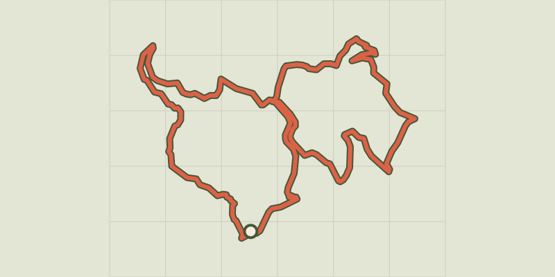 © OpenStreetMap, SRTM · OpenTopoMap (CC-BY-SA)
Around Les Aigladines
Cévennes, Mialet (30) · LoopOfficial rating by Parc national des Cévennes © OpenStreetMap, SRTM · OpenTopoMap (CC-BY-SA)
Old Collet walk
Cévennes, Le Collet-de-Dèze (48) · LoopOfficial rating by Parc national des Cévennes © OpenStreetMap, SRTM · OpenTopoMap (CC-BY-SA)
Tignac, entre châtaigniers et pins
Cévennes, Le Collet-de-Dèze (48) · LoopOfficial rating by Parc national des Cévennes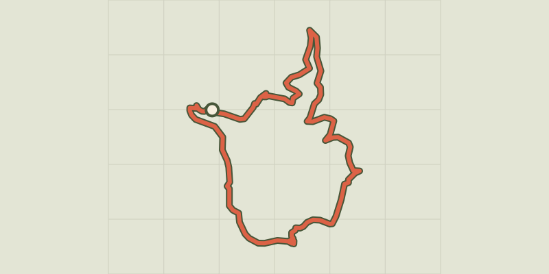 © OpenStreetMap, SRTM · OpenTopoMap (CC-BY-SA)
The Puechs
Cévennes, Mialet (30) · LoopOfficial rating by Parc national des Cévennes © OpenStreetMap, SRTM · OpenTopoMap (CC-BY-SA)
Les berges du Gardon
Cévennes, Mialet (30) · LoopOfficial rating by Parc national des Cévennes