
Combe des Champannes loop

Key facts
- Distance
- 11.6 km
- Ascent
- +382 m
- Descent
- −367 m
- Estimated time
- 1 hr 35
- mtb
- Difficulty
- Moderate
- official rating
- Route
- Loop
- back to the start
Profile and gradient
- under 10%
- 10 to 20%
- over 20%
Gradient along the route: 9.3 km under 10%, 2.0 km at 10 to 20% and 0.3 km over 20%. Elevation from 780 m to 1,141 m over 11.6 km.
Description
Discover Embrun's wild coombes, those gaps in the black earth forest that stretch right down to the edge of the lake. The busy banks of Embrun's lake quickly give way to wild, wooded stretches that open out into nothing more than deep coombes and the black earth so characteristic of the region. The descent, which is as winding as you could wish, leaves little time to gaze into the opaline waters of the lake. - From the beach car park, head up the central path towards the Durance then turn right once on the banks to go alongside the lake. Then turn left onto the road after the yacht club reception. Follow the road until you reach the track. Follow the hairpin path up through the pines, following the trail. At the end of the forest, as the area opens up, the path turns into a carriageway and leads to the Departmental road linking Embrun to Puy-Sanières. - Drive down the Departmental road then turn right after a few hundred metres. A single-track path winds its way down over the lake to the track used on the outward journey. Turn left onto the track just after passing under a small tunnel, then return along the same route.
Difficulty
Official rating: moderate, by Parc national des Écrins.
Getting there
Start: Plan d'eau, Embrun, Embrun (05).
Sources
- Track: Parc national des Écrins, Licence Ouverte 2.0, Licence Ouverte 2.0 (Etalab) (destination.ecrins-parcnational.fr/trek/990863-N16---La-Combe-des-Champannes). Time estimated by GPX Path with the Mac app rule, breaks not included.
- Official elevation gain: 382 m, Parc national des Écrins
Nearby tracks

 © OpenStreetMap, SRTM · OpenTopoMap (CC-BY-SA)
The Saint Sauveur loop
Écrins, Embrun (05) · LoopOfficial rating by Parc national des Écrins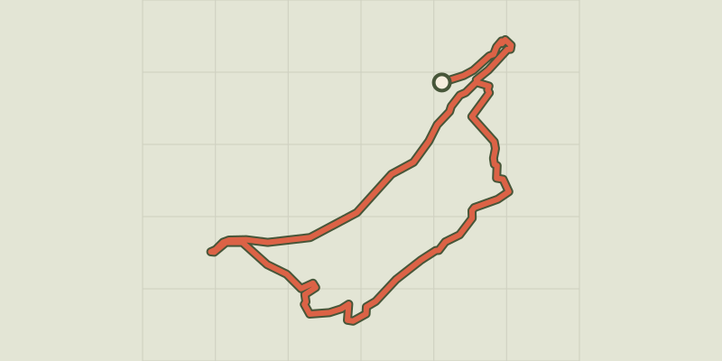 © OpenStreetMap, SRTM · OpenTopoMap (CC-BY-SA)
Crots Beach
Écrins, Embrun (05) · LoopOfficial rating by Parc national des Écrins © OpenStreetMap, SRTM · OpenTopoMap (CC-BY-SA)
La plaine sous le Roc mountain bike loop
Écrins, Embrun (05) · LoopOfficial rating by Parc national des Écrins © OpenStreetMap, SRTM · OpenTopoMap (CC-BY-SA)
Lac de Serre-Ponçon 5-day Mountain Bike Tour
Écrins, Embrun (05) · Point to pointOfficial rating by Parc national des Écrins © OpenStreetMap, SRTM · OpenTopoMap (CC-BY-SA)
Grand Tour des Ecrins VTTAE - Grande Traversée VTT-FFC
Écrins, Embrun (05) · Point to pointOfficial rating by Parc national des Écrins © OpenStreetMap, SRTM · OpenTopoMap (CC-BY-SA)
Enduro de frozane
Écrins, Embrun (05) · Point to pointOfficial rating by Parc national des Écrins