
Hamlet of Gourniers
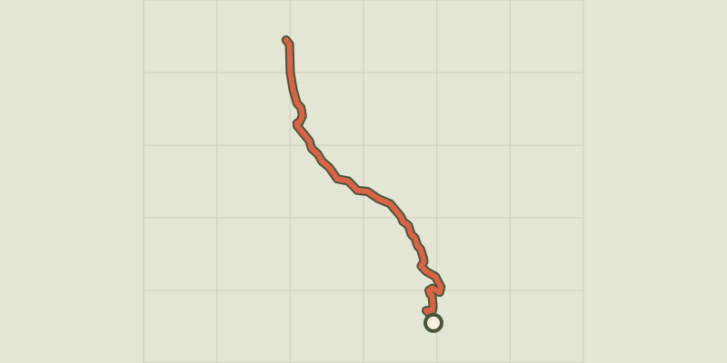
Key facts
- Distance
- 6.0 km
- Ascent
- +97 m
- Descent
- −152 m
- Estimated time
- 1 hr 30
- hiking
- Difficulty
- Easy
- official rating
- Route
- Point to point
- ends elsewhere
Profile and gradient
- under 10%
- 10 to 20%
- over 20%
Gradient along the route: 5.8 km under 10% and 0.1 km at 10 to 20%. Elevation from 1,426 m to 1,581 m over 6.0 km.
Description
- From the car park, go along the resort's snowline, past the Courtier ski lift, past the shops, along the "Le Relais" building and then back to the start of the cross-country ski runs by following the road leading to the residential chalets for a few metres. - Take the track on the right which descends into a field then head in the direction of the telephone masts. Stay on this track as far as the hamlet of Les Mallets. At the hamlet of Les Mallets, leave the track leading up to the hamlet of Vaucluse on your left and take the track that also descends on your left. Ignore the track downhill on your right. Keep to this track as far as Les Casses, where you continue downhill, ignoring the track to your left. - Stay on this track until you reach the bed of the stream. From here, take the small wooden bridge on your right to reach the Leisure Centre, or continue straight on to reach the hamlet of Gourniers, the gateway to the Ecrins National Park. - Return by the same route, or, from Les Gourniers, cross the wooden bridge over the departmental road then take the track immediately on your right after the bridge to reach the Base de Loisirs and then the resort by the same route.
Difficulty
Official rating: easy, by Parc national des Écrins.
Getting there
Start: Station de Réallon, Réallon, Réallon (05).
Sources
- Track: Parc national des Écrins, Licence Ouverte 2.0, Licence Ouverte 2.0 (Etalab) (destination.ecrins-parcnational.fr/trek/995714-Hameau-des-Gourniers). Time estimated by GPX Path with the Mac app rule, breaks not included.
- Official elevation gain: 97 m, Parc national des Écrins
Nearby tracks
 © OpenStreetMap, SRTM · OpenTopoMap (CC-BY-SA)
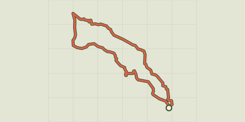
The hamlet of Vaucluse
Écrins, Réallon (05) · LoopOfficial rating by Parc national des Écrins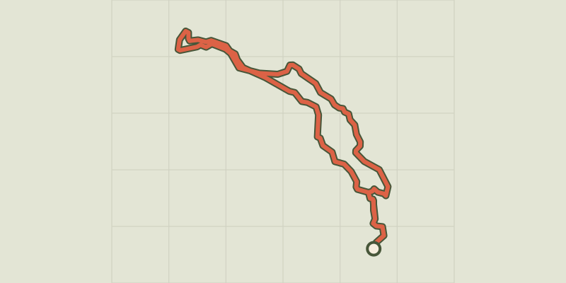 © OpenStreetMap, SRTM · OpenTopoMap (CC-BY-SA)
Le Peuple des Oiseaux
Écrins, Réallon (05) · LoopOfficial rating by Parc national des Écrins © OpenStreetMap, SRTM · OpenTopoMap (CC-BY-SA)
Serre du Mouton
Écrins, Réallon (05) · Out and backOfficial rating by Parc national des Écrins © OpenStreetMap, SRTM · OpenTopoMap (CC-BY-SA)
Les Aiguilles de Chabrières
Écrins, Réallon (05) · LoopOfficial rating by Parc national des Écrins © OpenStreetMap, SRTM · OpenTopoMap (CC-BY-SA)
Joubelle
Écrins, Réallon (05) · Out and backOfficial rating by Parc national des Écrins © OpenStreetMap, SRTM · OpenTopoMap (CC-BY-SA)
Saint-Apollinaire lake
Écrins, Réallon (05) · LoopOfficial rating by Parc national des Écrins