
Joubelle

Key facts
- Distance
- 7.0 km
- Ascent
- +144 m
- Descent
- −124 m
- Estimated time
- 1 hr 50
- hiking
- Difficulty
- Easy
- official rating
- Route
- Out and back
- same way back
Profile and gradient
- under 10%
- 10 to 20%
- over 20%
Gradient along the route: 7.0 km under 10%. Elevation from 1,558 m to 1,679 m over 7.0 km.
Description
Below the Aiguilles de Chabrières, this route offers panoramic views of the Lac de Serre-Ponçon and the surrounding mountains. This itinerary, with its numerous viewpoints, boasts panoramic views of the Serre-Ponçon lake while passing through beautiful forest with Mediterranean influences, which is one of the special features of this route. - From the ski pass ticket office building, turn left towards the forest to join a wide track. Ascend it. - At the "Piste de Joubelle" post continue opposite on a slight slope uphill. The balcony trail offers magnificent views of Lake Serre-Ponçon and the mountains of the southern Alps. Stay on the track until you reach picnic tables offering views of the lake and the surrounding peaks. - The return journey takes the same route.
Difficulty
Official rating: easy, by Parc national des Écrins.
Getting there
Start: Station de Réallon, Réallon (05).
Sources
- Track: Parc national des Écrins, Licence Ouverte 2.0, Licence Ouverte 2.0 (Etalab) (destination.ecrins-parcnational.fr/trek/997708-Piste-de-Joubelle). Time estimated by GPX Path with the Mac app rule, breaks not included.
- Official elevation gain: 144 m, Parc national des Écrins
Nearby tracks

 © OpenStreetMap, SRTM · OpenTopoMap (CC-BY-SA)
Les Aiguilles de Chabrières
Écrins, Réallon (05) · LoopOfficial rating by Parc national des Écrins © OpenStreetMap, SRTM · OpenTopoMap (CC-BY-SA)
Saint-Apollinaire lake
Écrins, Réallon (05) · LoopOfficial rating by Parc national des Écrins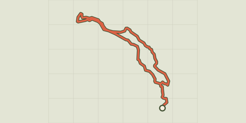 © OpenStreetMap, SRTM · OpenTopoMap (CC-BY-SA)
Le Peuple des Oiseaux
Écrins, Réallon (05) · LoopOfficial rating by Parc national des Écrins © OpenStreetMap, SRTM · OpenTopoMap (CC-BY-SA)
Serre du Mouton
Écrins, Réallon (05) · Out and backOfficial rating by Parc national des Écrins © OpenStreetMap, SRTM · OpenTopoMap (CC-BY-SA)
Hamlet of Gourniers
Écrins, Réallon (05) · Point to pointOfficial rating by Parc national des Écrins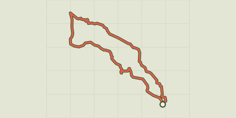 © OpenStreetMap, SRTM · OpenTopoMap (CC-BY-SA)
The hamlet of Vaucluse
Écrins, Réallon (05) · LoopOfficial rating by Parc national des Écrins