
L’Onde and Le Villard

Key facts
- Distance
- 10.2 km
- Ascent
- +426 m
- Descent
- −390 m
- Estimated time
- 3 hr 05
- hiking
- Difficulty
- Easy
- official rating
- Route
- Loop
- back to the start
Profile and gradient
- under 10%
- 10 to 20%
- over 20%
Gradient along the route: 6.9 km under 10% and 3.3 km at 10 to 20%. Elevation from 1,169 m to 1,358 m over 10.2 km.
Description
A pleasant circuit running primarily through forest and along the river bank The hamlet of Le Villard, the route along the water's edge, the history of an old slate quarry... all make this circuit a perfect combination of leisure pursuit and local interest. Waysigning: one green dot and one white dot Go past the church in Vallouise and carry on through the old village, along its main road. - Continue along the road which rises up to a new district and joins the road to Le Villard. - Take the track leading off to the right just after the Saint Joseph oratory. Further up, cross the Puy Aillaud road and continue straight ahead. Then drop down, following a stream to Le Villard. - At the bottom end of the village, take the road for Vallouise and then a track on the right leading down to the Pont des Fontaines. Cross the bridge and then turn right and climb up the track along the left-hand bank of the Onde until you come to the Pont de Places. - To go to the slate quarry ("Les Ardoisières"), carry straight on and after a short distance take the path on the left running up to the disused slate quarry. From here, retrace your steps back to the Pont des Places, and turn right onto a path leading towards Narreyroux. Further up, head towards the Pont des Fontaines and then towards the Cascade de la Pissette waterfall. - At the foot of the waterfall, take the track on the right and then cross the bridge to follow the left-hand bank of the Onde leading back to Vallouise.
Difficulty
Official rating: easy, by Parc national des Écrins.
Before you go
- Check weather conditions before setting off.
- Rescue services contact details: Secours Montagne (Mountain Rescue): +33 (0)4 92 22 22 22 or 112
- Show consideration for the work of farmers, livestock keepers and owners
- Close all gates behind you
- Take your litter home
- Do not take shortcuts across pastureland
Getting there
Start: Église de Vallouise, Vallouise-Pelvoux (05).
Sources
- Track: Parc national des Écrins, Licence Ouverte 2.0, Licence Ouverte 2.0 (Etalab) (destination.ecrins-parcnational.fr/trek/962575-L-Onde-et-Le-Villard). Time estimated by GPX Path with the Mac app rule, breaks not included.
- Official elevation gain: 426 m, Parc national des Écrins
Nearby tracks

 © OpenStreetMap, SRTM · OpenTopoMap (CC-BY-SA)
La cascade de la Pissette
Écrins, Vallouise-Pelvoux (05) · LoopOfficial rating by Parc national des Écrins © OpenStreetMap, SRTM · OpenTopoMap (CC-BY-SA)
Le sentier des lutins
Écrins, Vallouise-Pelvoux (05) · LoopOfficial rating by Parc national des Écrins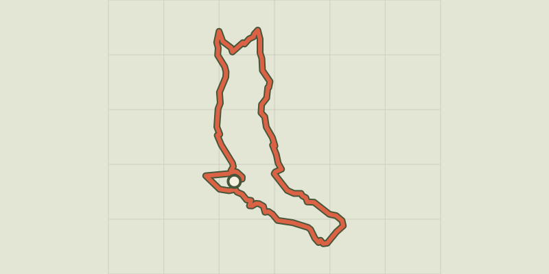 © OpenStreetMap, SRTM · OpenTopoMap (CC-BY-SA)
Exploring the hamlets of Vallouise and Pelvoux
Écrins, Vallouise-Pelvoux (05) · LoopOfficial rating by Parc national des Écrins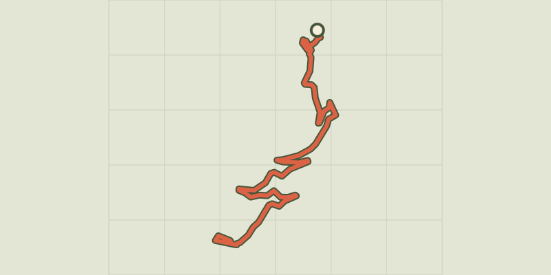 © OpenStreetMap, SRTM · OpenTopoMap (CC-BY-SA)
RANDOLAND: Puy Aillaud / Le Villard
Écrins, Vallouise-Pelvoux (05) · Point to pointOfficial rating by Parc national des Écrins © OpenStreetMap, SRTM · OpenTopoMap (CC-BY-SA)
Le lac de Puy Aillaud (depuis le hameau)
Écrins, Vallouise-Pelvoux (05) · Out and backOfficial rating by Parc national des Écrins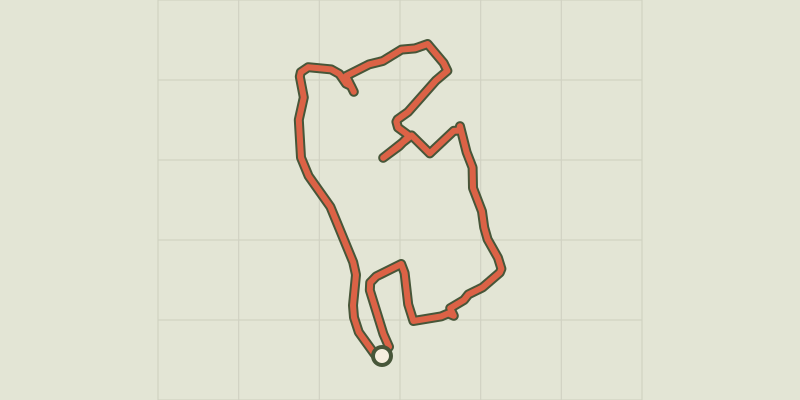 © OpenStreetMap, SRTM · OpenTopoMap (CC-BY-SA)
RANDOLAND: Pelvoux
Écrins, Vallouise-Pelvoux (05) · LoopOfficial rating by Parc national des Écrins