
RANDOLAND: Pelvoux

Key facts
- Distance
- 2.9 km
- Ascent
- +72 m
- Descent
- −63 m
- Estimated time
- 45 min
- hiking
- Difficulty
- Very easy
- official rating
- Route
- Loop
- back to the start
Profile and gradient
- under 10%
- 10 to 20%
- over 20%
Gradient along the route: 2.3 km under 10% and 0.6 km at 10 to 20%. Elevation from 1,239 m to 1,285 m over 2.9 km.
Description
A treasure hunt through the charming hamlets of Pelvoux. With your clue sheets and pens at the ready, this Randoland circuit through the hamlets of Pelvoux introduces you to the authentic local heritage and offers plenty of opportunities to admire Mont Pelvoux! The walk starts at the Pelvoux-Vallouise ski resort. - Opposite the chairlift chalet, go between the swimming pool and the Freissinet ski lift. When you come to the car park, carry straight on.. Carry on along the paved track opposite. Cross over a bridge and carry straight on. 50 metres after the campsite sanitary facilities, stop at the footbridge to enjoy the view over the Gyr. Go back onto the paved campsite track until you come to a sign reading “Vallée de Vallouise”. Cross the bridge, which brings you to the road. Cross at the pedestrian crossing. - Go 20 metres to your right to discover the chapel. Retrace your steps back to the pedestrian crossing, go up the street on the right and stop at the wash house. Carry straight on uphill until you come to the hike post entitled “Le Riou” and take the path leading towards “Pelvoux - Saint Antoine” immediately on the right. - When you come to the road, go downhill to the right. Just after the holiday home “Les Balmettes”, do downhill to the right to discover the church. Retrace your steps back up to the crossroads and continue right. Go past the cemetery and, immediately after this, go uphill to the left. Then follow the path on the right signed ”Le Fangeas par le canal”. Go past the first canal lock. Follow the canal right until you come to a second lock. - Turn down to the right through the trees to return to the road. Head for the chapel and its wash house on the left. Retrace your steps for a few metres and then cross at the bus stop to take the grass track between the fences. At the end, continue right and then cross the bridge on the left to complete the walk.
Difficulty
Official rating: very easy, by Parc national des Écrins.
Before you go
- To download the Randoland clue sheets, visit the Office de Tourisme Intercommunal du Pays des Écrins website.
- Check weather conditions before setting off.
- Rescue services contact details: Secours Montagne (Mountain Rescue): +33 (0)4 92 22 22 22 or 112
- Show consideration for the work of farmers, livestock keepers and owners
- Close all gates behind you
- Take your litter home
- Do not take shortcuts across pastureland
Getting there
Start: Bureau d’Information Touristique, Station Pelvoux-Vallouise, Vallouise-Pelvoux (05).
Sources
- Track: Parc national des Écrins, Licence Ouverte 2.0, Licence Ouverte 2.0 (Etalab) (destination.ecrins-parcnational.fr/trek/962818-RANDOLAND-%3A-Pelvoux). Time estimated by GPX Path with the Mac app rule, breaks not included.
- Official elevation gain: 72 m, Parc national des Écrins
Nearby tracks

 © OpenStreetMap, SRTM · OpenTopoMap (CC-BY-SA)
The Béal Neuf canal: canals and men, an iconic history
Écrins, Vallouise-Pelvoux (05) · Out and backOfficial rating by Parc national des Écrins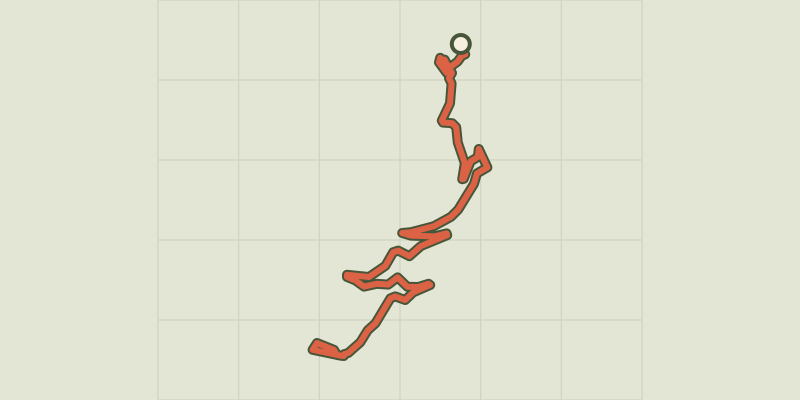 © OpenStreetMap, SRTM · OpenTopoMap (CC-BY-SA)
RANDOLAND: Puy Aillaud / Le Villard
Écrins, Vallouise-Pelvoux (05) · Point to pointOfficial rating by Parc national des Écrins © OpenStreetMap, SRTM · OpenTopoMap (CC-BY-SA)
Le lac de Puy Aillaud (depuis le hameau)
Écrins, Vallouise-Pelvoux (05) · Out and backOfficial rating by Parc national des Écrins © OpenStreetMap, SRTM · OpenTopoMap (CC-BY-SA)
The Béal Neuf: from mountain stream to canal
Écrins, Vallouise-Pelvoux (05) · Out and backOfficial rating by Parc national des Écrins © OpenStreetMap, SRTM · OpenTopoMap (CC-BY-SA)
The Ailefroide loop
Écrins, Vallouise-Pelvoux (05) · LoopOfficial rating by Parc national des Écrins © OpenStreetMap, SRTM · OpenTopoMap (CC-BY-SA)
La cabane de Chouvet
Écrins, Vallouise-Pelvoux (05) · Out and backOfficial rating by Parc national des Écrins