
La Plaine circuit (no. 8)

Key facts
- Distance
- 7.3 km
- Ascent
- +105 m
- Descent
- −82 m
- Estimated time
- 40 min
- mtb
- Difficulty
- Easy
- official rating
- Route
- Loop
- back to the start
Profile and gradient
- under 10%
- 10 to 20%
- over 20%
Gradient along the route: 7.3 km under 10%. Elevation from 1,129 m to 1,200 m over 7.3 km.
Description
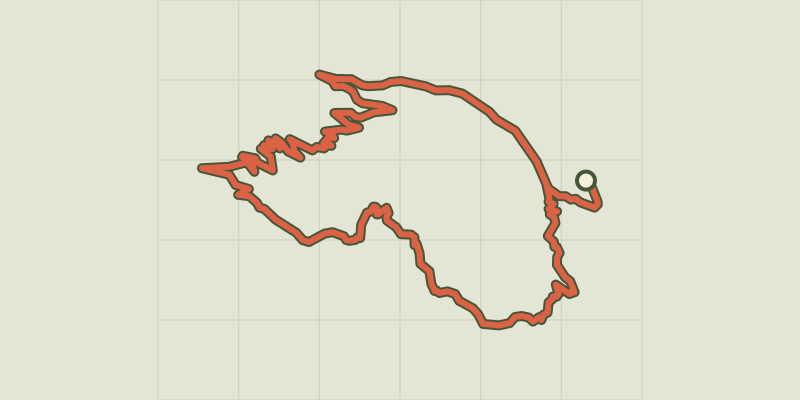
Easy circuit along the Biaysse which takes you into a pleasant and peaceful environment surrounded by nature. This relatively level loop is suitable for families and leads along both banks of the Biaysse, alternating between forest and meadow. It takes you to the municipality of Freissinières and its hamlets: a valley haven in a completely natural setting and gateway to the Parc National des Écrins. The route starts at the Les Allouviers bus stop, on the left-hand bank of the Biaysse and opposite the campsite - Go across the EDF dam and take the narrow path on the right above the road leading to the Les Allouviers campsite - At the end of the track, continue straight ahead along a drivable track which follows the right-hand bank of the Biaysse - After the descent, cross the church bridge and turn right towards Freissinières along the local road - At the hamlet of Les Ribes in the Freissinières valley, turn right onto the D38b heading towards Le Pallon - After going through the village of Freissinières, turn left to Les Meyries and 200 metres further on, bear right onto a stony track - When you come to Le Plan, continue straight ahead, along a slightly zigzagging route - At the end of the track, turn right to return to your starting point
Difficulty
Official rating: easy, by Parc national des Écrins.
Before you go
- Rescue services contact details: Secours Montagne(Mountain Rescue): +33 (0)4 92 22 22 22 or 112
- Take your litter home
- Do not take shortcuts across pastureland
Getting there
Start: Parking du kiosque entrée de la vallée, Freissinières, Freissinières (05).
Sources
- Track: Parc national des Écrins, Licence Ouverte 2.0, Licence Ouverte 2.0 (Etalab) (destination.ecrins-parcnational.fr/trek/966063-VTT-N08---Circuit-de-la-Plaine). Time estimated by GPX Path with the Mac app rule, breaks not included.
- Official elevation gain: 105 m, Parc national des Écrins
Nearby tracks
 © OpenStreetMap, SRTM · OpenTopoMap (CC-BY-SA)
VTT N°20 - Circuit de l'Antique
Écrins, Freissinières (05) · LoopOfficial rating by Parc national des Écrins © OpenStreetMap, SRTM · OpenTopoMap (CC-BY-SA)
Col des Combes circuit (no. 9)
Écrins, Freissinières (05) · LoopOfficial rating by Parc national des Écrins © OpenStreetMap, SRTM · OpenTopoMap (CC-BY-SA)
L'Aubreau - Réotier / Saint-Crépin en VTT
Écrins, Saint-Crépin (05) · LoopOfficial rating by Parcs naturels régionaux de Provence-Alpes-Côte d'Azur © OpenStreetMap, SRTM · OpenTopoMap (CC-BY-SA)
Les Chardons Bleus nature reserve (no. 17)
Écrins, L'Argentière-la-Bessée (05) · LoopOfficial rating by Parc national des Écrins © OpenStreetMap, SRTM · OpenTopoMap (CC-BY-SA)
The Tour des Têtes (no. 16)
Écrins, L'Argentière-la-Bessée (05) · LoopOfficial rating by Parc national des Écrins © OpenStreetMap, SRTM · OpenTopoMap (CC-BY-SA)
Les Eyssuches (no. 18)
Écrins, L'Argentière-la-Bessée (05) · LoopOfficial rating by Parc national des Écrins