
The Tour des Têtes (no. 16)

Key facts
- Distance
- 20.5 km
- Ascent
- +876 m
- Descent
- −844 m
- Estimated time
- 3 hr 10
- mtb
- Difficulty
- Difficult
- official rating
- Route
- Loop
- back to the start
Profile and gradient
- under 10%
- 10 to 20%
- over 20%
Gradient along the route: 16.0 km under 10%, 3.0 km at 10 to 20% and 1.5 km over 20%. Elevation from 967 m to 1,810 m over 20.5 km.
Description
A difficult circuit overlooking the gorges of the Durance, suitable for experienced riders. This circuit with major changes in elevation will take you to the Fournel mine and the eponymous glacial valley. Exceptional heritage and a stunning view are in store before you tackle a thrilling technical descent. The circuit starts right in the centre of town, not far from the bridge spanning the Durance. Head due south towards the train station. - After passing the train station on your right and going under the railway bridge, follow the D423 towards the Fournel mines ("Mines du Fournel") - At the mine car park, carry on along the narrow road leading into the little valley - At the bridge, the Pont des Albrands, take the forest track that leads uphill to the Col de la Pousterle - At the car park at the pass, follow the track running due east - After the Champ des Ans, at 1,541 m, take the path on the right: the start of a great single-track descent - When you come to the first houses in L'Argentière-la-Bessée, take the road on the left and then the road on the right to the next crossroads, which will bring you to the town centre
Difficulty
Official rating: difficult, by Parc national des Écrins.
Before you go
- Rescue services contact details: Secours Montagne (Mountain Rescue): +33 (0)4 92 22 22 22 or 112
- Show consideration for the work of farmers, livestock keepers and owners
- Take your litter home
- Do not take shortcuts across pastureland
Getting there
Start: Place du kiosque, L’Argentière-La Bessée, L'Argentière-la-Bessée (05).
Sources
- Track: Parc national des Écrins, Licence Ouverte 2.0, Licence Ouverte 2.0 (Etalab) (destination.ecrins-parcnational.fr/trek/972259-VTT-N16---Le-Tour-des-Tetes). Time estimated by GPX Path with the Mac app rule, breaks not included.
- Official elevation gain: 876 m, Parc national des Écrins
Nearby tracks

 © OpenStreetMap, SRTM · OpenTopoMap (CC-BY-SA)
Les Chardons Bleus nature reserve (no. 17)
Écrins, L'Argentière-la-Bessée (05) · LoopOfficial rating by Parc national des Écrins © OpenStreetMap, SRTM · OpenTopoMap (CC-BY-SA)
Les Eyssuches (no. 18)
Écrins, L'Argentière-la-Bessée (05) · LoopOfficial rating by Parc national des Écrins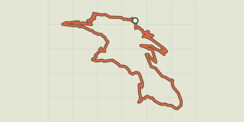 © OpenStreetMap, SRTM · OpenTopoMap (CC-BY-SA)
Col d’Anon, Col des Lauzes (no. 7)
Écrins, L'Argentière-la-Bessée (05) · LoopOfficial rating by Parc national des Écrins © OpenStreetMap, SRTM · OpenTopoMap (CC-BY-SA)
Le Grand Parcher circuit (no. 6)
Écrins, Les Vigneaux (05) · LoopOfficial rating by Parc national des Écrins © OpenStreetMap, SRTM · OpenTopoMap (CC-BY-SA)
Col des Combes circuit (no. 9)
Écrins, Freissinières (05) · LoopOfficial rating by Parc national des Écrins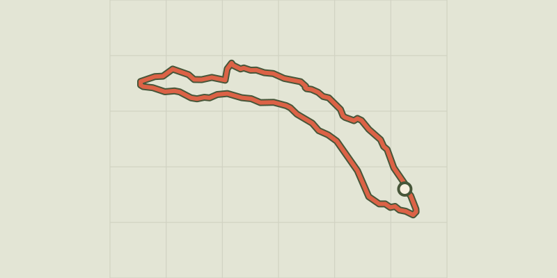 © OpenStreetMap, SRTM · OpenTopoMap (CC-BY-SA)
La Plaine circuit (no. 8)
Écrins, Freissinières (05) · LoopOfficial rating by Parc national des Écrins