
Le refuge du Pelvoux
Key facts
- Distance
- 13.9 km
- Ascent
- +1,184 m
- Descent
- −1,172 m
- Estimated time
- 6 hr 35
- hiking
- Difficulty
- Difficult
- official rating
- Route
- Out and back
- same way back
Profile and gradient
- under 10%
- 10 to 20%
- over 20%
Gradient along the route: 2.8 km under 10%, 6.3 km at 10 to 20% and 4.9 km over 20%. Elevation from 1,517 m to 2,689 m over 13.9 km.
Description
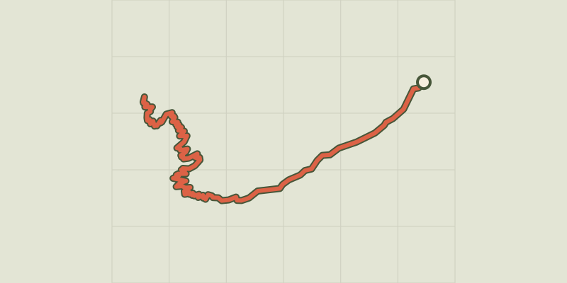
A climb to a charming mountain refuge on a footpath that leads to sites that are important in the history of mountaineering. On the 8th August 1848, Pierre-Antoine Barnéoud took Victor Puiseux with him. After a night spent in "the fallen rock that served as a hut to the shepherd from Provence", alone, he climbed to the top of the Durand and then achieved the first ascension of the true peak of the Pelvoux. From the car park, walk up the Sélé valley by the footpath that follows the left bank of the Celse Nière stream. After a long, slightly uphill walk, the footpath continues up steep bends until it reaches the junction with the Sélé mountain refuge path. - Turn right onto the footpath that winds among the rock falls and small rock ledges, towards the Pelvoux mountain refuge then continue winding down the grassy slopes and gentle sloped rocks. The mountain refuge cannot be seen until the last moment but it indicated by cairns (piles of stones). - Follow the same route in the opposite direction for the return trip.
Difficulty
Official rating: difficult, by Parc national des Écrins.
Before you go
- The route is sometimes steep. No camping after Ailefroide, bivouac permitted at least an hour's walk away from the park boundaries. No fires.
Getting there
Start: Ailefroide, Vallouise-Pelvoux (05).
Sources
- Track: Parc national des Écrins, Licence Ouverte 2.0, Licence Ouverte 2.0 (Etalab) (destination.ecrins-parcnational.fr/trek/903311-Le-refuge-du-Pelvoux). Time estimated by GPX Path with the Mac app rule, breaks not included.
- Official elevation gain: 1,184 m, Parc national des Écrins
Nearby tracks

 © OpenStreetMap, SRTM · OpenTopoMap (CC-BY-SA)
La Bosse de Clapouse
Écrins, Vallouise-Pelvoux (05) · Out and backOfficial rating by Parc national des Écrins © OpenStreetMap, SRTM · OpenTopoMap (CC-BY-SA)
Sélé Refuge
Écrins, Vallouise-Pelvoux (05) · Out and backOfficial rating by Parc national des Écrins © OpenStreetMap, SRTM · OpenTopoMap (CC-BY-SA)
Tour des refuges en Vallouise en 4 jours
Écrins, Vallouise-Pelvoux (05) · Point to pointOfficial rating by Parc national des Écrins © OpenStreetMap, SRTM · OpenTopoMap (CC-BY-SA)
Tour des refuges en Vallouise en 5 jours
Écrins, Vallouise-Pelvoux (05) · Point to pointOfficial rating by Parc national des Écrins © OpenStreetMap, SRTM · OpenTopoMap (CC-BY-SA)
The Ailefroide loop
Écrins, Vallouise-Pelvoux (05) · LoopOfficial rating by Parc national des Écrins © OpenStreetMap, SRTM · OpenTopoMap (CC-BY-SA)
Puy Aillaud Lake
Écrins, Vallouise-Pelvoux (05) · Out and backOfficial rating by Parc national des Écrins