
Puy Aillaud Lake

Key facts
- Distance
- 5.9 km
- Ascent
- +424 m
- Descent
- −767 m
- Estimated time
- 2 hr 50
- hiking
- Difficulty
- Easy
- official rating
- Route
- Out and back
- same way back
Profile and gradient
- under 10%
- 10 to 20%
- over 20%
Gradient along the route: 1.8 km under 10%, 0.9 km at 10 to 20% and 3.2 km over 20%. Elevation from 1,821 m to 2,550 m over 5.9 km.
Description
A beautiful journey above the valley, departing from the ski lifts of Pelvoux resort. The demanding trail may seem a bit tough, but the reward is there, with an ever-expanding panorama. The lake, nestled in the hollow of the Rouya summit, gives the end of the hike a more intimate character. Starting from the top of the Crête chairlift, take the trail that climbs towards Lac de Puy Aillaud following the markers. - Before reaching 2600m in altitude, the trail forks to the right towards Lac de Puy Aillaud. Return: the return can be made via the Préron chairlift or via the piste that descends through the resort to the car park.
Difficulty
Official rating: easy, by Parc national des Écrins.
Before you go
- As the hike is mostly on a south-facing slope, it is best to set off early on hot days and make sure to bring plenty to drink.
Getting there
Start: Télésiège du Préron, Vallouise-Pelvoux (05).
Sources
- Track: Parc national des Écrins, Licence Ouverte 2.0, Licence Ouverte 2.0 (Etalab) (destination.ecrins-parcnational.fr/trek/997141-Le-Lac-de-Puy-Aillaud). Time estimated by GPX Path with the Mac app rule, breaks not included.
- Official elevation gain: 424 m, Parc national des Écrins
Nearby tracks

 © OpenStreetMap, SRTM · OpenTopoMap (CC-BY-SA)
La Blanche
Écrins, Vallouise-Pelvoux (05) · Out and backOfficial rating by Parc national des Écrins © OpenStreetMap, SRTM · OpenTopoMap (CC-BY-SA)
Le lac de Puy Aillaud (depuis le hameau)
Écrins, Vallouise-Pelvoux (05) · Out and backOfficial rating by Parc national des Écrins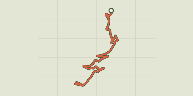 © OpenStreetMap, SRTM · OpenTopoMap (CC-BY-SA)
RANDOLAND: Puy Aillaud / Le Villard
Écrins, Vallouise-Pelvoux (05) · Point to pointOfficial rating by Parc national des Écrins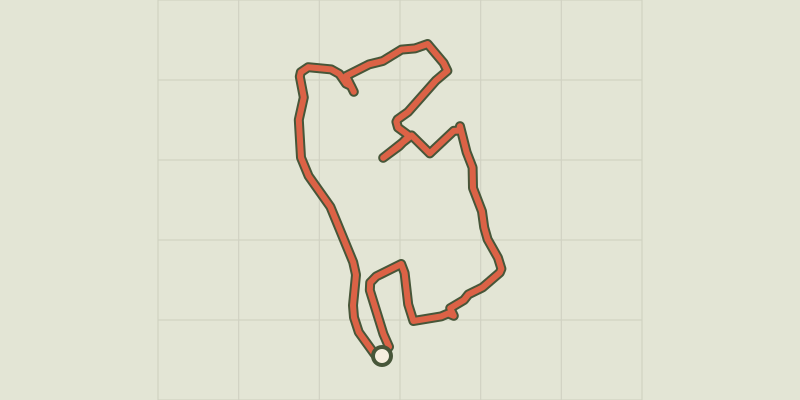 © OpenStreetMap, SRTM · OpenTopoMap (CC-BY-SA)
RANDOLAND: Pelvoux
Écrins, Vallouise-Pelvoux (05) · LoopOfficial rating by Parc national des Écrins © OpenStreetMap, SRTM · OpenTopoMap (CC-BY-SA)
L’Onde and Le Villard
Écrins, Vallouise-Pelvoux (05) · LoopOfficial rating by Parc national des Écrins © OpenStreetMap, SRTM · OpenTopoMap (CC-BY-SA)
The Ailefroide loop
Écrins, Vallouise-Pelvoux (05) · LoopOfficial rating by Parc national des Écrins