
Les hauteurs de Crots

Key facts
- Distance
- 12.1 km
- Ascent
- +168 m
- Descent
- −152 m
- Estimated time
- 55 min
- gravel
- Difficulty
- Very easy
- official rating
- Route
- Loop
- back to the start
Profile and gradient
- under 10%
- 10 to 20%
- over 20%
Gradient along the route: 12.1 km under 10%. Elevation from 781 m to 908 m over 12.1 km.
Description
A landscape fit for a postcard! From the Château de Picomtal to the banks of the Durance, this route boasts a natural and built heritage that is full of interest. From the outset, at the foot of the medieval castle of Picomtal, the route begins with a climb, on which you can admire the panorama. Then it's on to the banks of the Durance, dominated by Embrun and its historic quarter. The return journey to Crots follows a landscape of arable fields, with no real difficulties. - From the centre of Crots, follow the small road that runs alongside the château of Picomtal at the bottom in the direction of Le Poêt, gaining height fairly quickly through a succession of bends. - Take a short descent towards Baratier. Follow the D40 for a short stretch before turning right towards Crévoux. - Carry on for nearly 3km then cross the Durance on a metal bridge (wooden floor) towards Embrun. Quickly, turn left and follow the route de la Digue, which is closed to vehicles. - This road runs alongside the river and joins a footbridge to cross over the Durance again. Follow the cycle path towards Baratier (short section under the N94) and head towards a roundabout. - Take the second exit towards La Mure (D240), drive 100 m then take another right fork. At the next crow's-foot intersection, take the Chemin du Grand Liou, which continues to the right. - Continue straight on, skirting fields, until you reach the village of Crots.
Difficulty
Official rating: very easy, by Parc national des Écrins.
Getting there
Start: Parking centre-ville, Crots, Crots (05).
Sources
- Track: Parc national des Écrins, Licence Ouverte 2.0, Licence Ouverte 2.0 (Etalab) (destination.ecrins-parcnational.fr/trek/996003-Les-hauteurs-de-Crots). Time estimated by GPX Path with the Mac app rule, breaks not included.
- Official elevation gain: 168 m, Parc national des Écrins
Nearby tracks
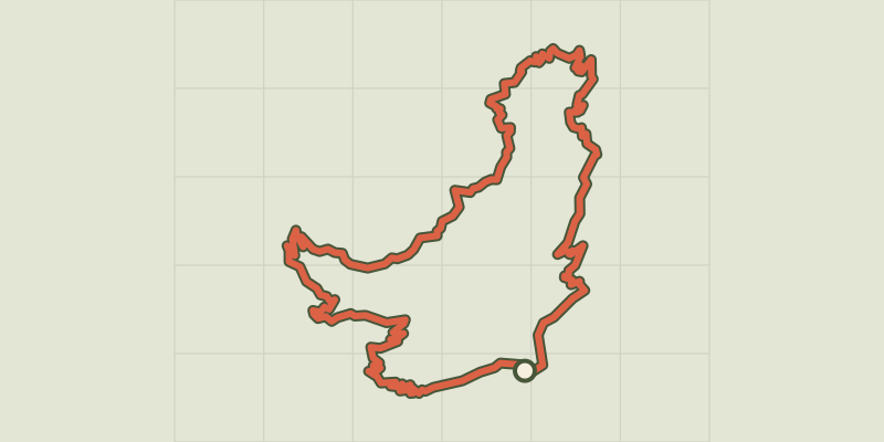
 © OpenStreetMap, SRTM · OpenTopoMap (CC-BY-SA)
Loop 52 - The Balconies of Mont Guillaume
Écrins, Embrun (05) · LoopOfficial rating by Parc national des Écrins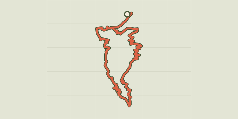 © OpenStreetMap, SRTM · OpenTopoMap (CC-BY-SA)
Loop 61 - Le Boscodon
Écrins, Embrun (05) · LoopOfficial rating by Parc national des Écrins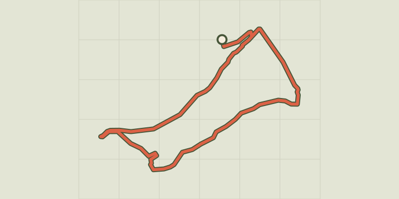 © OpenStreetMap, SRTM · OpenTopoMap (CC-BY-SA)
The banks of Serre-Ponçon
Écrins, Embrun (05) · LoopOfficial rating by Parc national des Écrins © OpenStreetMap, SRTM · OpenTopoMap (CC-BY-SA)
Around Lake Serre-Ponçon - Gravel
Écrins, Embrun (05) · Point to pointOfficial rating by Parc national des Écrins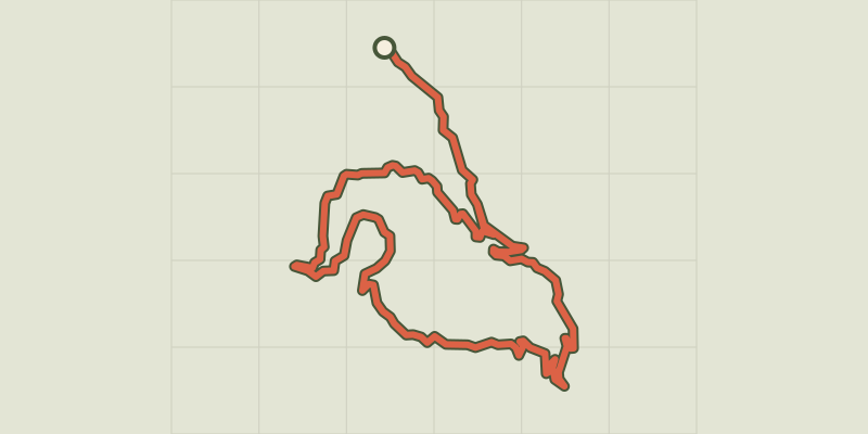 © OpenStreetMap, SRTM · OpenTopoMap (CC-BY-SA)
Loop 62 - Pierre Arnoux
Écrins, Savines-le-Lac (05) · LoopOfficial rating by Parc national des Écrins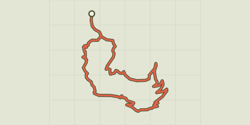 © OpenStreetMap, SRTM · OpenTopoMap (CC-BY-SA)
Loop 51 - Les Pins
Écrins, Puy-Saint-Eusèbe (05) · LoopOfficial rating by Parc national des Écrins