
Loop 52 - The Balconies of Mont Guillaume

Key facts
- Distance
- 38.8 km
- Ascent
- +1,342 m
- Descent
- −1,225 m
- Estimated time
- 3 hr 55
- gravel
- Difficulty
- Moderate
- official rating
- Route
- Loop
- back to the start
Profile and gradient
- under 10%
- 10 to 20%
- over 20%
Gradient along the route: 34.3 km under 10% and 4.5 km at 10 to 20%. Elevation from 781 m to 1,777 m over 38.8 km.
Description
An unmissable spot just a short drive from Embrun, the Mont Guillaume state forest offers a range of tracks ideal for the little crampon-riding queen. After a warm-up along the lake, there is a steady climb towards Les Puy as you reach the balconies of Mont Guillaume and the lookout point at La Para (ideal for a picnic break). The final stretch: a long descent on tracks and roads. - At the start of the mountain bike circuits, join the dam and follow it to the right. After the Club Nautique Alpin, follow the road to the left towards the Chadenas holiday park. Then continue up the main winding path. (/!\ Please close the fence) - At the bus stop, follow the route des Puy to the left (D9) and climb to the right towards Serres (D309). At the fountain, continue up a hairpin bend to the left. - At the bend, turn left onto DFCI track G2 (Viewpoint). Continue straight ahead on the main track to join the Route des Puys (D9). Follow it to the right. - At Puy Saint-Eusèbe, turn right up the Route de l'Eglise (D309a). - Leave the road for the Chemin des Clauséards on the right (DFCI G1) towards Embrun via the Lookout of la Para. At the crow's feet intersection continue along the track to the left. Stay on the main track until you reach the Piste de la Baume. - At the route forestière de la Baume, continue uphill to the right (DFCI G1). Stay on this track and enjoy the view from the Para lookout. Continue straight on until you reach the car park. - At the Porte de la Forêt car park, turn left onto the route forestière des Fontainiers. At the Route forestière du Bosquet, keep right (DFCI track G82). Before the steep climb, take the path on the right towards Châteauroux, 9 km. /!\ Quite a steep descent. When you reach the path under the larches, turn right. Stay on the main road until you reach the hairpin, then /!\ watch your speed. - /!\ slow down: at the hairpin descend to the right and take two left turns down the less steep options. Then turn right at the edge of the wood onto the path on the right, which is carpeted with pine needles. (/!\ Several short sections with roots and stones). After the houses, continue to the right on the less visible flat track. Above Les Barthelons, descend to the left, then take the first right onto the road. After the hamlet, turn left down the road towards the centre of Embrun. (D465) - At the Station, join the roundabout. Turn right and then slightly left onto the pedestrianised street towards the tourist office. At the end of the road, turn right and cross the supermarket car park on your left. At the end of the supermarket car park in Les Moulineaux, head down a small tarmac path towards the lake. /!\ steep path, tight bends and the lower part has a few stones. At the Chaffal turn right and then left to reach the dam. The lake is on your right.
Difficulty
Official rating: moderate, by Parc national des Écrins.
Getting there
Start: Embrun, Embrun (05).
Sources
- Track: Parc national des Écrins, Licence Ouverte 2.0, Licence Ouverte 2.0 (Etalab) (destination.ecrins-parcnational.fr/trek/996152-Boucle-52---Les-Balcons-du-Mont-Guillaume). Time estimated by GPX Path with the Mac app rule, breaks not included.
- Official elevation gain: 1,342 m, Parc national des Écrins
Nearby tracks
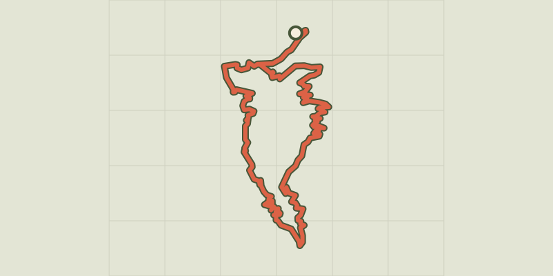
 © OpenStreetMap, SRTM · OpenTopoMap (CC-BY-SA)
Loop 61 - Le Boscodon
Écrins, Embrun (05) · LoopOfficial rating by Parc national des Écrins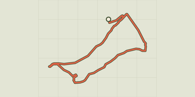 © OpenStreetMap, SRTM · OpenTopoMap (CC-BY-SA)
The banks of Serre-Ponçon
Écrins, Embrun (05) · LoopOfficial rating by Parc national des Écrins © OpenStreetMap, SRTM · OpenTopoMap (CC-BY-SA)
Les hauteurs de Crots
Écrins, Crots (05) · LoopOfficial rating by Parc national des Écrins © OpenStreetMap, SRTM · OpenTopoMap (CC-BY-SA)
Around Lake Serre-Ponçon - Gravel
Écrins, Embrun (05) · Point to pointOfficial rating by Parc national des Écrins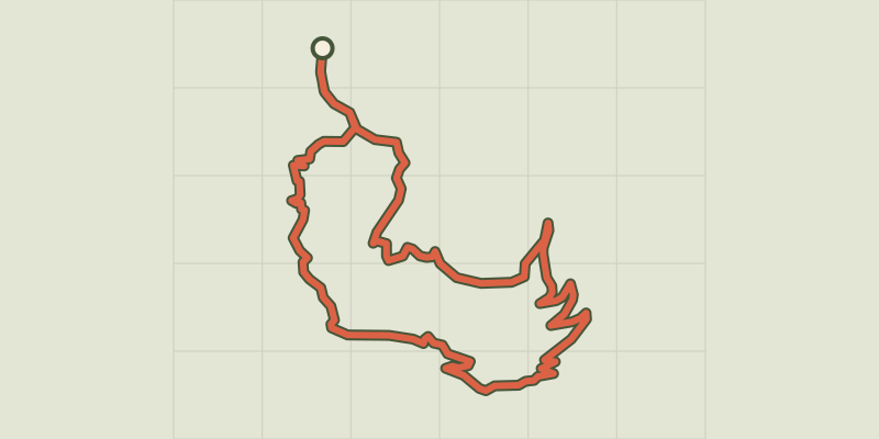 © OpenStreetMap, SRTM · OpenTopoMap (CC-BY-SA)
Loop 51 - Les Pins
Écrins, Puy-Saint-Eusèbe (05) · LoopOfficial rating by Parc national des Écrins © OpenStreetMap, SRTM · OpenTopoMap (CC-BY-SA)
Loop 50 - Les Puy
Écrins, Puy-Saint-Eusèbe (05) · LoopOfficial rating by Parc national des Écrins