
Les terrassettes
Key facts
- Distance
- 5.8 km
- Ascent
- +506 m
- Descent
- −495 m
- Estimated time
- 2 hr 45
- hiking
- Difficulty
- Moderate
- official rating
- Route
- Out and back
- same way back
Profile and gradient
- under 10%
- 10 to 20%
- over 20%
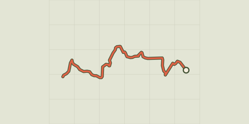
Gradient along the route: 0.9 km under 10%, 2.6 km at 10 to 20% and 2.3 km over 20%. Elevation from 1,146 m to 1,639 m over 5.8 km.
Description
This trail takes in remarkable cultural and historical heritage features. It leads to the car park in Le Grand Clot and on to Le Morgon, avoiding the piste. It all starts at the famous Abbaye de Boscodon. After crossing the Colombier mountain stream, make your way through the famous Forêt d'Exception-labelled forest of Boscodon, recognised for its diversity. Set off on a discovery of mountain springs and other features of the area's historical heritage, hitherto unknown to the general public. This trail ends at the forest pastures and the Pic du Morgon. From the car park, go along the edge of the Abbaye de Boscodon and continue straight ahead. When you reach the path, turn left. Cross the Colombier mountain stream and take the track on the left. - A short distance further up, turn right and go across the earth mound. At the top of this rise, take the track on the right. A few hundred metres after crossing a stream, take the path on the left. From here, follow the stone wall and, further up, follow the water course on the left upstream. At the next intersection, turn right and pass between the stone walls. [When you reach the crossroads, take the track on the left following the sign to Les Terrassettes; this brings you to some abandoned houses]. From the ruins, turn left and then right at the empty houses. At the next crossroads, continue straight ahead to the forest road. - When you come to the road, turn left. Then, turn right at the boulder and enter the forest. At the intersection, go left to the abandoned house in the place called « les Preis ». Follow the walls. When you come to the track, continue straight across and immediately turn left to the car park in Le Grand Clot.
Difficulty
Official rating: moderate, by Parc national des Écrins.
Before you go
- Exercise caution when crossing the Colombier mountain stream during flood periods. It is possible to detour via the bridge a little further uphill.
Getting there
Start: Abbaye de Boscodon, Crots, Crots (05).
Sources
- Track: Parc national des Écrins, Licence Ouverte 2.0, Licence Ouverte 2.0 (Etalab) (destination.ecrins-parcnational.fr/trek/974308-Les-Terrassettes). Time estimated by GPX Path with the Mac app rule, breaks not included.
- Official elevation gain: 506 m, Parc national des Écrins
Nearby tracks

 © OpenStreetMap, SRTM · OpenTopoMap (CC-BY-SA)
Sentier des Moines
Écrins, Crots (05) · Out and backOfficial rating by Parc national des Écrins © OpenStreetMap, SRTM · OpenTopoMap (CC-BY-SA)
Sentier de l'Abbaye
Écrins, Crots (05) · Out and backOfficial rating by Parc national des Écrins © OpenStreetMap, SRTM · OpenTopoMap (CC-BY-SA)
The Sentier des Pyramides - The Pyramids Path
Écrins, Crots (05) · LoopOfficial rating by Parc national des Écrins © OpenStreetMap, SRTM · OpenTopoMap (CC-BY-SA)
Crête du Lauzet
Écrins, Crots (05) · Out and backOfficial rating by Parc national des Écrins © OpenStreetMap, SRTM · OpenTopoMap (CC-BY-SA)
The Pic de Morgon
Écrins, Crots (05) · LoopOfficial rating by Parc national des Écrins © OpenStreetMap, SRTM · OpenTopoMap (CC-BY-SA)
Lac du Lauzerot
Écrins, Crots (05) · LoopOfficial rating by Parc national des Écrins