
The Pic de Morgon

Key facts
- Distance
- 11.0 km
- Ascent
- +783 m
- Descent
- −729 m
- Estimated time
- 4 hr 20
- hiking
- Difficulty
- Moderate
- official rating
- Route
- Loop
- back to the start
Profile and gradient
- under 10%
- 10 to 20%
- over 20%
Gradient along the route: 3.9 km under 10%, 5.5 km at 10 to 20% and 1.7 km over 20%. Elevation from 1,667 m to 2,309 m over 11.0 km.
Description
This hike enables you to discover the enchanting cirque at altitude and the panorama of the valleys of Ubaye and the Durance. « It was with the President of the Pastoral Organization Morgon who was replacing the shepherd that day, that we were able to admire the view of 25 male chamois grouped at the Tête de la Vieilleet without a female on the horizon » Michel Bouche, Heritage Technician in the Briançonnais From the car park at Grand Clot (1660 m) follow the track into the forest until Portes de Morgon where you will discover the cirque of the same name. Once in the cirque, follow the path then the track. Pass near to the shepherd’s cabin respecting its tranquility before attacking the ascent which is often eroded in the cargneules. Follow the track in order to avoid making the erosion worse. Ascend to the summit (where there is an old orientation table that has been struck by lightning). It is possible by turning right to pass near to a metal cylinder placed on the ridge in the year 2000 at the same time as the one you can still see at Mont Orel. A third cylinder was put up on Mont Guillaume, but has been dismantled. Next rejoin the summit by following the shoulder of the mountain... From up high, the view of the two branches of Serre-Ponçon lake is stunning. For the return journey follow the ridge to the South in the direction of the Tête de la Vieille (a small passage through the rocks) and get back on to the path that goes down to the cirque. It passes near to Morgon Lake and the Saint Pierre sanctuary before joining the Portes de Morgon itinerary that you followed on the way out...
Difficulty
Official rating: moderate, by Parc national des Écrins.
Before you go
- Dogs are not allowed in the cirque between the 15the June and the 15th July and from the 15th August and the 15th September.
Getting there
Start: Le Grand Clot, Crots, Crots (05).
Sources
- Track: Parc national des Écrins, Licence Ouverte 2.0, Licence Ouverte 2.0 (Etalab) (destination.ecrins-parcnational.fr/trek/918557-Le-Pic-de-Morgon). Time estimated by GPX Path with the Mac app rule, breaks not included.
- Official elevation gain: 783 m, Parc national des Écrins
Nearby tracks

 © OpenStreetMap, SRTM · OpenTopoMap (CC-BY-SA)
The Sentier des Pyramides - The Pyramids Path
Écrins, Crots (05) · LoopOfficial rating by Parc national des Écrins © OpenStreetMap, SRTM · OpenTopoMap (CC-BY-SA)
Les terrassettes
Écrins, Crots (05) · Out and backOfficial rating by Parc national des Écrins © OpenStreetMap, SRTM · OpenTopoMap (CC-BY-SA)
Sentier des Moines
Écrins, Crots (05) · Out and backOfficial rating by Parc national des Écrins © OpenStreetMap, SRTM · OpenTopoMap (CC-BY-SA)
Sentier de l'Abbaye
Écrins, Crots (05) · Out and backOfficial rating by Parc national des Écrins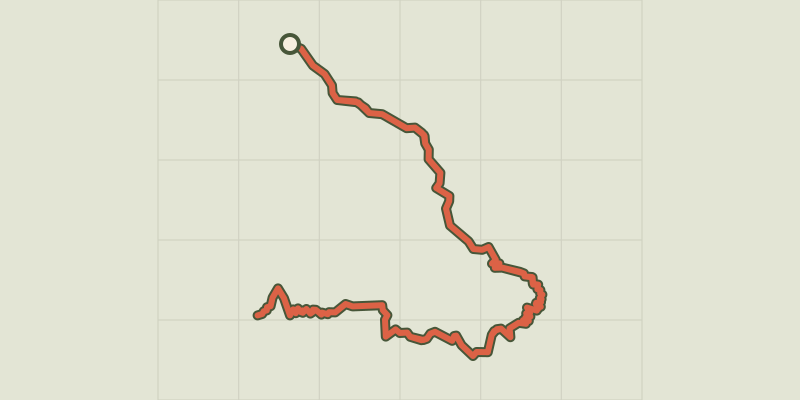 © OpenStreetMap, SRTM · OpenTopoMap (CC-BY-SA)
Le Pic de Morgon via Pierre Arnoux
Écrins, Savines-le-Lac (05) · Out and backOfficial rating by Parc national des Écrins © OpenStreetMap, SRTM · OpenTopoMap (CC-BY-SA)
Crête du Lauzet
Écrins, Crots (05) · Out and backOfficial rating by Parc national des Écrins