
Loop 49 - Clos Besson and Lake St Apollinaire
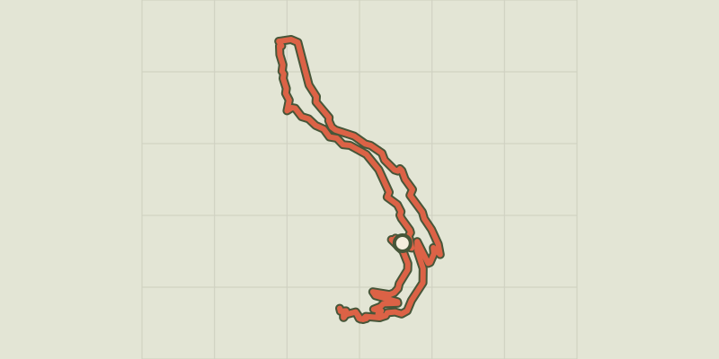
Key facts
- Distance
- 24.0 km
- Ascent
- +640 m
- Descent
- −558 m
- Estimated time
- 2 hr 10
- gravel
- Difficulty
- Easy
- official rating
- Route
- Loop
- back to the start
Profile and gradient
- under 10%
- 10 to 20%
- over 20%
Gradient along the route: 23.0 km under 10% and 1.0 km at 10 to 20%. Elevation from 1,358 m to 1,604 m over 24.0 km.
Description
A "summary" of what's on offer in Gravel at Serre Ponçon: forest tracks, sections of fun trails, landscapes, lake... A Gravel course with 2 facets: Along the lake, the landscape is open to the lake and its south-facing aspect creates a pre-Alpine atmosphere. In the Réallon valley, wedged between the Aiguilles de Chabrières and Mont Guillaume, the stream is pleasantly cooling in summer and creates a more mountainous atmosphere. - From the start of the route at the resort of Réallon, descend to the car park and up the track to the right (route forestière de Joubelle). Just before the turning, turn left down the forest track towards the village of Saint-Apollinaire. - At the balcony path, (viewpoint over the lake) go up the path to the left (Possibility of making a return trip to Lake Saint-Apollinaire by taking two right turns). After a very steep but relatively short section, continue left on the path towards the resort of Réallon. - At the road, descend to the right (D609). At a hairpin bend, take the stony track on the left. Turn right at the track. At Les Praux, follow the track to the left. Continue on the main track to the right towards Réallon camp-site. - Continue straight ahead on the path that rises slightly towards Réallon. Take the Villard bridge and continue along the track on the left bank of the stream. At the crow's feet intersection, continue to the right. - At the road, turn left towards the Isle leisure centre. Before the Cure bridge, turn right onto the road on the left bank of the stream. After the tennis courts, go straight ahead on the chemin de digue, then take the path on the left. - At the water extraction point, WC and car park, take the bridge on the left that leads to Les Gourniers. At the Mélézin restaurant, turn left towards "Le Bourget". At Les Tomelles, the road becomes a path. - At Le Bourget, continue straight on. At Les Granges, continue straight on towards the camp-site via Les Casses. At Les Casses, take the track on the right towards Les Mallets. - At Les Mallets, take the second right towards the resort of Réallon. At Pra Prunier, continue straight on towards the resort. When you reach the bend in the D609 road, turn right towards the resort. At the entrance to the resort, turn left into the car park.
Difficulty
Official rating: easy, by Parc national des Écrins.
Getting there
Start: Réallon station, Réallon (05).
Sources
- Track: Parc national des Écrins, Licence Ouverte 2.0, Licence Ouverte 2.0 (Etalab) (destination.ecrins-parcnational.fr/trek/996149-Boucle-49---Clos-Besson-et-le-lac-de-St-Apollinaire). Time estimated by GPX Path with the Mac app rule, breaks not included.
- Official elevation gain: 640 m, Parc national des Écrins
Nearby tracks
 © OpenStreetMap, SRTM · OpenTopoMap (CC-BY-SA)
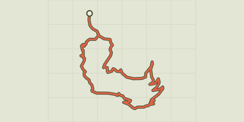
Loop 51 - Les Pins
Écrins, Puy-Saint-Eusèbe (05) · LoopOfficial rating by Parc national des Écrins © OpenStreetMap, SRTM · OpenTopoMap (CC-BY-SA)
Loop 50 - Les Puy
Écrins, Puy-Saint-Eusèbe (05) · LoopOfficial rating by Parc national des Écrins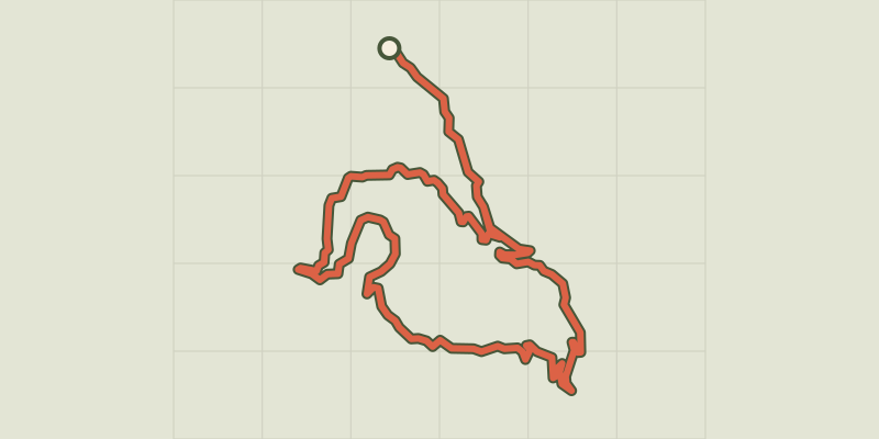 © OpenStreetMap, SRTM · OpenTopoMap (CC-BY-SA)
Loop 62 - Pierre Arnoux
Écrins, Savines-le-Lac (05) · LoopOfficial rating by Parc national des Écrins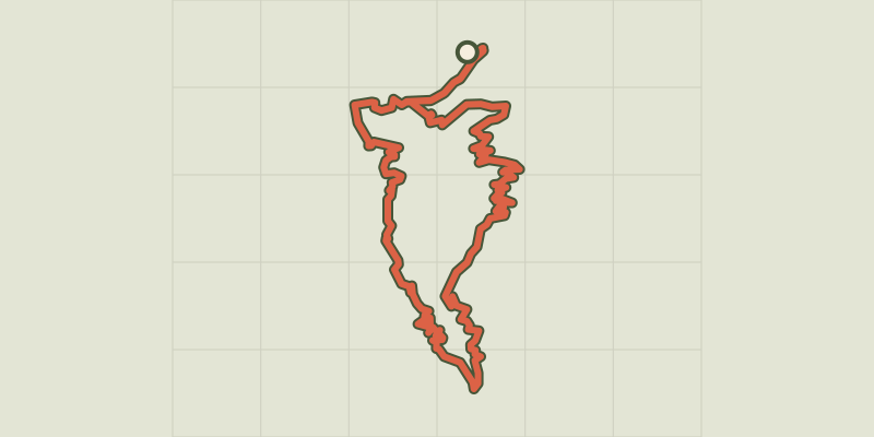 © OpenStreetMap, SRTM · OpenTopoMap (CC-BY-SA)
Loop 61 - Le Boscodon
Écrins, Embrun (05) · LoopOfficial rating by Parc national des Écrins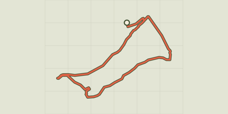 © OpenStreetMap, SRTM · OpenTopoMap (CC-BY-SA)
The banks of Serre-Ponçon
Écrins, Embrun (05) · LoopOfficial rating by Parc national des Écrins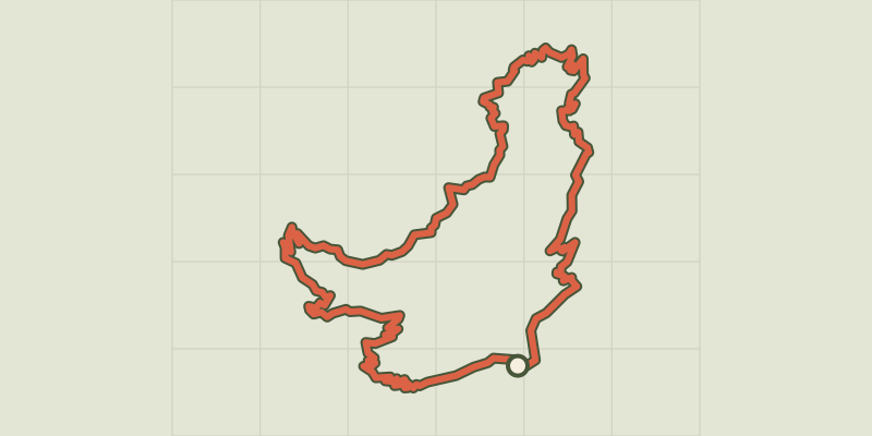 © OpenStreetMap, SRTM · OpenTopoMap (CC-BY-SA)
Loop 52 - The Balconies of Mont Guillaume
Écrins, Embrun (05) · LoopOfficial rating by Parc national des Écrins