
Loop 54 - Les Pinées

Key facts
- Distance
- 20.4 km
- Ascent
- +621 m
- Descent
- −580 m
- Estimated time
- 1 hr 55
- gravel
- Difficulty
- Easy
- official rating
- Route
- Loop
- back to the start
Profile and gradient
- under 10%
- 10 to 20%
- over 20%
Gradient along the route: 18.4 km under 10% and 2.0 km at 10 to 20%. Elevation from 858 m to 1,388 m over 20.4 km.
Description
A mountain route with an escape along the banks of the Durance to discover the Vague du Rabioux A mountain and forest ambience on the first part of the route, with cool, damp streams and the old steep road on the side of the Rabioux gorges. If you keep you eyes peeled you might even catch a glimpse of the Demoiselles Coiffées. The return journey, a jaunt along the banks of the Durance, is less difficult. A fairly difficult blue course. - Just after Châteauroux-les-Alpes town hall, turn left up rue sainte-Irieneé (D663). At the cemetery, skirt it to the right and head up the road to the right towards the 'Les Pins' camp-site. - At Le Vazet take the hairpin road to the right, then the path straight ahead. - At the road turn right towards the waterfall (DFCI G84). At the Auberge de l'Épinay road, turn right towards the Charançons gîte, Muandes car park and the Pisse waterfall. - At the lookout, ascend to the left and then turn left a second time. /!\ At the hairpin bend, leave the track and take a path straight downhill. Ride along the canal and dismount in a few places. - Then leave the canal to ascend 200 m to the right at the level of the torrent des Échirolles (steep climb) then turn left twice following the GR. Stay on the main track, then turn left onto the road when you reach the first few houses. /!\ Slow down on the downhill road: leave it at the hairpin on a track to the right. At the road, turn left downhill and then right through the hamlet of Les Rozans. Choose the most well-signposted options downhill as far as the road. - At the D994H, ascend to the left, then after 300m descend to the right the road of Fontmoline in direction of the camp-site les Cariamas. - 7200 m after the football pitch, descend to the roundabout on the right, take the 1st exit towards Briançon. After the bridge, turn right towards Les Baumes. After the railway bridge (Pont des Eygas), take the path on the left and stay on the road. - At the pisciculture des écrins, turn right onto the route de la vague. At 600m, take the stony track on the left until you reach the chapel of St Jacques, then descend on the right to join the road. - At the road descend to the left as far as the Vague du Rabioux and make a U-turn staying on the road - Returning to the fish farm, cross the railway line and then the bridge to reach the village, staying on the road.
Difficulty
Official rating: easy, by Parc national des Écrins.
Getting there
Start: Châteauroux les Alpes, Châteauroux-les-Alpes (05).
Sources
- Track: Parc national des Écrins, Licence Ouverte 2.0, Licence Ouverte 2.0 (Etalab) (destination.ecrins-parcnational.fr/trek/996154-Boucle-54---Les-Pinees). Time estimated by GPX Path with the Mac app rule, breaks not included.
- Official elevation gain: 621 m, Parc national des Écrins
Nearby tracks

 © OpenStreetMap, SRTM · OpenTopoMap (CC-BY-SA)
The balconies of Saint-Marcellin
Écrins, Châteauroux-les-Alpes (05) · LoopOfficial rating by Parc national des Écrins © OpenStreetMap, SRTM · OpenTopoMap (CC-BY-SA)
Loop 53 - Les Fontainiers
Écrins, Châteauroux-les-Alpes (05) · LoopOfficial rating by Parc national des Écrins © OpenStreetMap, SRTM · OpenTopoMap (CC-BY-SA)
Around Lake Serre-Ponçon - Gravel
Écrins, Embrun (05) · Point to pointOfficial rating by Parc national des Écrins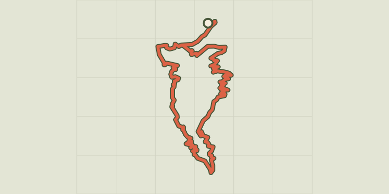 © OpenStreetMap, SRTM · OpenTopoMap (CC-BY-SA)
Loop 61 - Le Boscodon
Écrins, Embrun (05) · LoopOfficial rating by Parc national des Écrins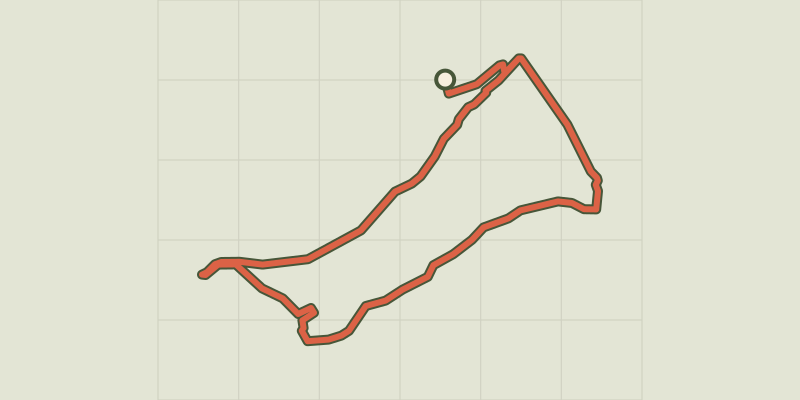 © OpenStreetMap, SRTM · OpenTopoMap (CC-BY-SA)
The banks of Serre-Ponçon
Écrins, Embrun (05) · LoopOfficial rating by Parc national des Écrins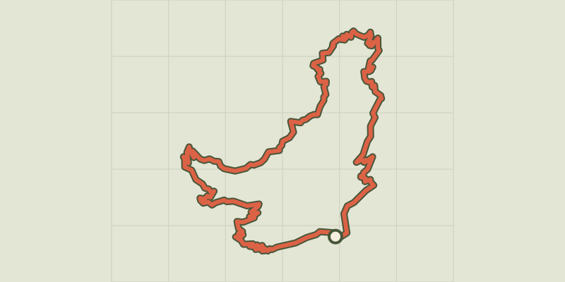 © OpenStreetMap, SRTM · OpenTopoMap (CC-BY-SA)
Loop 52 - The Balconies of Mont Guillaume
Écrins, Embrun (05) · LoopOfficial rating by Parc national des Écrins