
RANDOLAND: Les Vigneaux
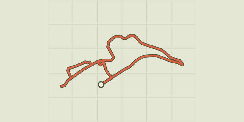
Key facts
- Distance
- 2.0 km
- Ascent
- +46 m
- Descent
- −30 m
- Estimated time
- 30 min
- hiking
- Difficulty
- Very easy
- official rating
- Route
- Loop
- back to the start
Profile and gradient
- under 10%
- 10 to 20%
- over 20%
Gradient along the route: 1.9 km under 10% and 0.1 km at 10 to 20%. Elevation from 1,107 m to 1,139 m over 2.0 km.
Description
Armed with your question sheet, set off on a discovery of the village of Les Vigneaux! A village, a church, authentic heritage and a treasure hunt... all overlooked by the Mont du Montbrison. Perfect ingredients for a family walk! The trail starts at the mayor's office ("Mairie"). Facing away from the mayor's office, turn right and stop at the water-fountain/wash house to solve the first riddle. Continue along the road until you come to the wooden mission cross. - Cross over the road to take the track opposite. Go past the starting point of the two via ferratas and carry on until you reach the EDF pipe. Take the path opposite, on the left-hand track, and follow an irrigation canal. Continue straight on and go down the track on the left until you come to the water fountain and the hunting cabin opposite. Continue along the edge of the church and stop 50 metres further along on the right, in the grotto of the Fontaine Marie-Madeleine. - Turn right immediately after the water fountain and continue along the track until you come to the road. - Go left, which brings you back to the communal oven. Go downhill to the right until you reach the chapel. Go back to the oven and head towards the church. Stop in front of the statue of the winemaking angel ("L'Ange vigneron") and the painted wall and then carry on to the church. Stop in the churchyard and then go down to the right and back to the car park.
Difficulty
Official rating: very easy, by Parc national des Écrins.
Before you go
- To download the Randoland clue sheets, visit the Office de Tourisme Intercommunal du Pays des Écrins website.
- Check weather conditions before setting off.
- Rescue services contact details: Secours Montagne (Mountain Rescue): +33 (0)4 92 22 22 22 or 112
- Show consideration for the work of farmers, livestock keepers and owners
- Close all gates behind you
- Take your litter home
- Do not take shortcuts across pastureland
Getting there
Start: Mairie, Les Vigneaux, Les Vigneaux (05).
Sources
- Track: Parc national des Écrins, Licence Ouverte 2.0, Licence Ouverte 2.0 (Etalab) (destination.ecrins-parcnational.fr/trek/962807-RANDOLAND-%3A-Les-Vigneaux). Time estimated by GPX Path with the Mac app rule, breaks not included.
- Official elevation gain: 46 m, Parc national des Écrins
Nearby tracks

 © OpenStreetMap, SRTM · OpenTopoMap (CC-BY-SA)
Bouchier et le Clot de la Siva
Écrins, Les Vigneaux (05) · LoopOfficial rating by Parc national des Écrins © OpenStreetMap, SRTM · OpenTopoMap (CC-BY-SA)
THEMED PATH: The Le Cloutas path
Écrins, Les Vigneaux (05) · LoopOfficial rating by Parc national des Écrins © OpenStreetMap, SRTM · OpenTopoMap (CC-BY-SA)
Les Eyssarts
Écrins, Les Vigneaux (05) · LoopOfficial rating by Parc national des Écrins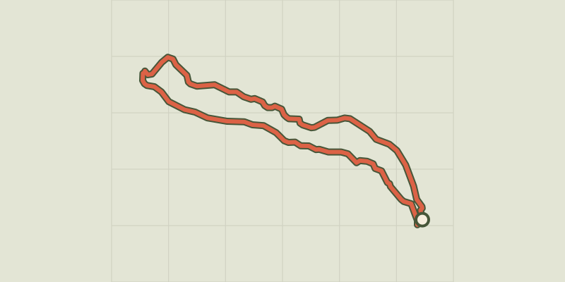 © OpenStreetMap, SRTM · OpenTopoMap (CC-BY-SA)
Around Les Vigneaux and Grand Parcher
Écrins, Les Vigneaux (05) · LoopOfficial rating by Parc national des Écrins © OpenStreetMap, SRTM · OpenTopoMap (CC-BY-SA)
Le belvédère des Têtes
Écrins, Les Vigneaux (05) · Out and backOfficial rating by Parc national des Écrins © OpenStreetMap, SRTM · OpenTopoMap (CC-BY-SA)
La tête d'Oréac
Écrins, Les Vigneaux (05) · LoopOfficial rating by Parc national des Écrins