
The Béal Neuf: from mountain stream to canal

Key facts
- Distance
- 1.9 km
- Ascent
- +48 m
- Descent
- −42 m
- Estimated time
- 30 min
- hiking
- Difficulty
- Very easy
- official rating
- Route
- Out and back
- same way back
Profile and gradient
- under 10%
- 10 to 20%
- over 20%
Gradient along the route: 1.9 km under 10%. Elevation from 1,448 m to 1,493 m over 1.9 km.
Description
A themed path running gently along the canal. This trail is a little gem, with its canal-hugging path along the water's edge. The high point is the point at which the canal splits from the Eychauda mountain stream. Highly enlightening information panels will capture the interest of young and old alike. A sign indicates the there-and-back path leading to the canal intake. - At the canal intake, turn back on yourself and return to your starting point by following the outward route in reverse. Where the paths intersect, be sure to keep to the left-hand path which soon runs along the canal side again.
Difficulty
Official rating: very easy, by Parc national des Écrins.
Before you go
- Access to the canal is prohibited for herds or flocks of animals and all vehicles (motorised or otherwise).
- There is a second section along the Béal Neuf canal: “Les canaux et les hommes, une histoire emblématique”(Canals and mankind, an iconic history). The starting point is 1 kilometre down from the starting point of the first path, where the canal leaves the road at the winding section.
- Check weather conditions before setting off.
- Rescue services contact details: Secours Montagne (Mountain Rescue): +33 (0)4 92 22 22 22 or 112
- Show consideration for the work of farmers, livestock keepers and owners
- Close all gates behind you
- Take your litter home
- Do not take shortcuts across pastureland
Getting there
Start: Route de Chambran, Vallouise-Pelvoux (05).
Sources
- Track: Parc national des Écrins, Licence Ouverte 2.0, Licence Ouverte 2.0 (Etalab) (destination.ecrins-parcnational.fr/trek/962542-Le-Beal-Neuf-%3A-du-torrent-au-canal). Time estimated by GPX Path with the Mac app rule, breaks not included.
- Official elevation gain: 48 m, Parc national des Écrins
Nearby tracks

 © OpenStreetMap, SRTM · OpenTopoMap (CC-BY-SA)
La cabane de Chouvet
Écrins, Vallouise-Pelvoux (05) · Out and backOfficial rating by Parc national des Écrins © OpenStreetMap, SRTM · OpenTopoMap (CC-BY-SA)
The Béal Neuf canal: canals and men, an iconic history
Écrins, Vallouise-Pelvoux (05) · Out and backOfficial rating by Parc national des Écrins © OpenStreetMap, SRTM · OpenTopoMap (CC-BY-SA)
The Ailefroide loop
Écrins, Vallouise-Pelvoux (05) · LoopOfficial rating by Parc national des Écrins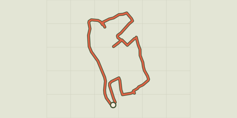 © OpenStreetMap, SRTM · OpenTopoMap (CC-BY-SA)
RANDOLAND: Pelvoux
Écrins, Vallouise-Pelvoux (05) · LoopOfficial rating by Parc national des Écrins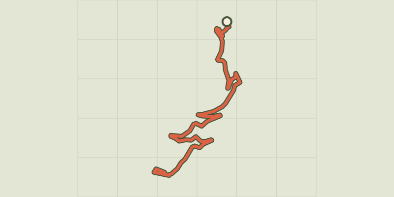 © OpenStreetMap, SRTM · OpenTopoMap (CC-BY-SA)
RANDOLAND: Puy Aillaud / Le Villard
Écrins, Vallouise-Pelvoux (05) · Point to pointOfficial rating by Parc national des Écrins © OpenStreetMap, SRTM · OpenTopoMap (CC-BY-SA)
Le lac de Puy Aillaud (depuis le hameau)
Écrins, Vallouise-Pelvoux (05) · Out and backOfficial rating by Parc national des Écrins