
The Muzelle et Le Lauvitel lakes

Key facts
- Distance
- 20.5 km
- Ascent
- +1,938 m
- Descent
- −1,913 m
- Estimated time
- 10 hr 25
- hiking
- Difficulty
- Difficult
- official rating
- Route
- Loop
- back to the start
Profile and gradient
- under 10%
- 10 to 20%
- over 20%
Gradient along the route: 6.5 km under 10%, 4.0 km at 10 to 20% and 10.0 km over 20%. Elevation from 851 m to 2,516 m over 20.5 km.
Description
This fine Alpine crossing follows the GR54 and the Col du Vallon, providing hikers with a view over the Muzelle and Lauvitel lakes. The Col du Vallon is the meeting point of two valleys that both contain a high-altitude lake, but otherwise have their own characteristics. A “total” reserve and a paved path are the charming features of the Lauvitel valley, while the Muzelle valley is enriched by pastoral farming, a refuge and peat bogs. When you leave the village of L'Alleau, cross the little bridge and take the paved path rising steeply into the forest. Continue along the path alongside the left bank of the Muzelle torrent. Once you arrive at the foot of a large schist slope, the path crosses the torrent and zigzags its way up through several loops to reach fine grassland, then a hollow filled with a peat bog. You finally arrive at a small "hump", from where you can see the Muzelle lake and refuge. Go down to the lake, walk round it to the right as far as the spillway and cross the bridge. At the fork, turn right into the meadows. You cross an area of rocks, following the cairns. The way continues as far as the Col up a steep grassy slope. The descent to the Lauvitel is via the right bank of the Embernard stream, through a large number of bends, and across a few rocky slabs and a combe. You arrive at Lake Lauvitel and its chalets via Pré des Selles. From there, go to the Danchère by turning right at the fork. The descent follows an old paved path with small walls on either side. You will see the St Croix Oratory just before arrving at the first houses in La Danchère. To get to Le Bourg d'Arud on foot, cross La Danchère and take the path along the left bank of the Vénéon as you leave the village.
Difficulty
Official rating: difficult, by Parc national des Écrins.
Before you go
- Circuit not accessible in winter due to risk of avalanches.
Getting there
Start: L'Alleau, Les Deux Alpes (38).
Sources
- Track: Parc national des Écrins, Licence Ouverte 2.0, Licence Ouverte 2.0 (Etalab) (destination.ecrins-parcnational.fr/trek/903458-Les-lacs-de-la-Muzelle-et-du-Lauvitel). Time estimated by GPX Path with the Mac app rule, breaks not included.
- Official elevation gain: 1,938 m, Parc national des Écrins
Nearby tracks

 © OpenStreetMap, SRTM · OpenTopoMap (CC-BY-SA)
Tour de l'Aiguille de Vénosc
Écrins, Les Deux Alpes (38) · Point to pointOfficial rating by Parc national des Écrins © OpenStreetMap, SRTM · OpenTopoMap (CC-BY-SA)
Muzelle Lake
Écrins, Les Deux Alpes (38) · Out and backOfficial rating by Parc national des Écrins © OpenStreetMap, SRTM · OpenTopoMap (CC-BY-SA)
Tour Gourmand
Écrins, Les Deux Alpes (38) · Point to pointOfficial rating by Parc national des Écrins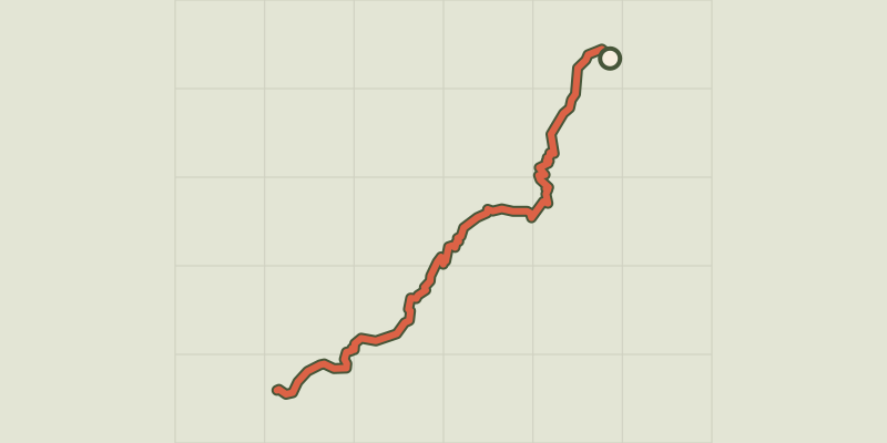 © OpenStreetMap, SRTM · OpenTopoMap (CC-BY-SA)
Plan Vianney lake and the Périer gap
Écrins, Les Deux Alpes (38) · Out and backOfficial rating by Parc national des Écrins © OpenStreetMap, SRTM · OpenTopoMap (CC-BY-SA)
Le vallon de Lanchâtra
Écrins, Saint-Christophe-en-Oisans (38) · Out and backOfficial rating by Parc national des Écrins © OpenStreetMap, SRTM · OpenTopoMap (CC-BY-SA)
Lauvitel Lake
Écrins, Les Deux Alpes (38) · LoopOfficial rating by Parc national des Écrins