
The Prégentil headland

Key facts
- Distance
- 5.2 km
- Ascent
- +296 m
- Descent
- −292 m
- Estimated time
- 1 hr 50
- hiking
- Difficulty
- Easy
- official rating
- Route
- Out and back
- same way back
Profile and gradient
- under 10%
- 10 to 20%
- over 20%
Gradient along the route: 3.1 km under 10%, 1.6 km at 10 to 20% and 0.5 km over 20%. Elevation from 1,616 m to 1,911 m over 5.2 km.
Description
This hike overlooking the Oisans plains is like a hanging footbridge between two valleys linking the village to the Prégentil headland. A family walk around the mountainside with very attractive views over Alpe d'Huez, Les Grandes Rousses, Belledonne and the Vénéon. After crossing the square at the top of the village of Villard-Reymond, the path rises to the right between farms that are typical of the Oisans, and reaches the Col Du Solude (1680m). From the Col, head towards Col de Saint Jean, Prégentil. Then follow the forest path that slowly climbs through the undergrowth as far as the stopping place, then take the right-hand fork towards the Prégentil headland. This bare area is like a "footbridge" hanging between the two valleys of the Romanche and the Lignarre. The fine stony path rises slowly to the unsuspected meadows of Col de St- Jean (1842 m). After the panel, follow the path climbing steeply between the resinous trees and leading to the crests. When you arrive in Prégentil, the panorama over the surrounding summits is breathtaking: Belledonne, Les Grandes Rousses, Les Aiguilles d'Arves, La Meije, the Mont de Lans glacier, La Selle, La Muzelle, Le Rochail, Le Grand Renaud, Le Taillefer, with a dizzying 360° view.
Difficulty
Official rating: easy, by Parc national des Écrins.
Before you go
- The ascent is steeper in the last section through the forest before reaching the crest.
Getting there
Start: Villard-Reymond, Villard-Reymond (38).
Sources
- Track: Parc national des Écrins, Licence Ouverte 2.0, Licence Ouverte 2.0 (Etalab) (destination.ecrins-parcnational.fr/trek/937546-Le-promontoire-de-Pregentil). Time estimated by GPX Path with the Mac app rule, breaks not included.
- Official elevation gain: 296 m, Parc national des Écrins
Nearby tracks
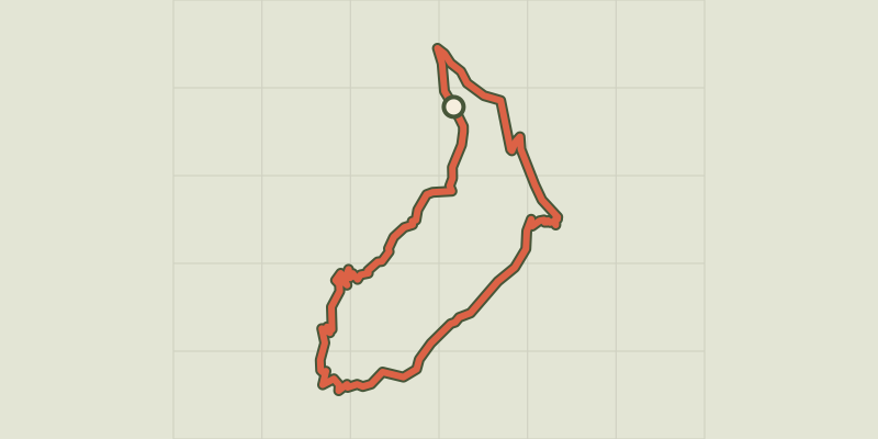
 © OpenStreetMap, SRTM · OpenTopoMap (CC-BY-SA)
The Croix du Carrelet crests
Écrins, Villard-Reymond (38) · LoopOfficial rating by Parc national des Écrins © OpenStreetMap, SRTM · OpenTopoMap (CC-BY-SA)
Tête de Louis XVI via Col de Corbière
Écrins, Villard-Reymond (38) · Out and backOfficial rating by Parc national des Écrins © OpenStreetMap, SRTM · OpenTopoMap (CC-BY-SA)
Le plateau du Taillefer
Écrins, Ornon (38) · Out and backOfficial rating by Parc national des Écrins © OpenStreetMap, SRTM · OpenTopoMap (CC-BY-SA)
Lauvitel Lake
Écrins, Les Deux Alpes (38) · LoopOfficial rating by Parc national des Écrins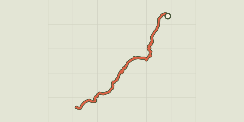 © OpenStreetMap, SRTM · OpenTopoMap (CC-BY-SA)
Plan Vianney lake and the Périer gap
Écrins, Les Deux Alpes (38) · Out and backOfficial rating by Parc national des Écrins © OpenStreetMap, SRTM · OpenTopoMap (CC-BY-SA)
The Muzelle et Le Lauvitel lakes
Écrins, Les Deux Alpes (38) · LoopOfficial rating by Parc national des Écrins