
The White Glacier
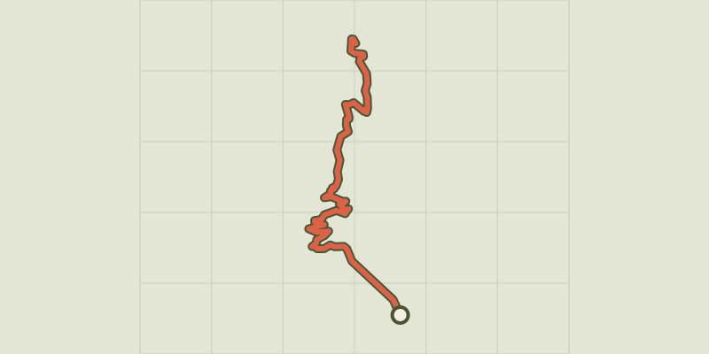
Key facts
- Distance
- 9.0 km
- Ascent
- +720 m
- Descent
- −669 m
- Estimated time
- 3 hr 50
- hiking
- Difficulty
- Moderate
- official rating
- Route
- Out and back
- same way back
Profile and gradient
- under 10%
- 10 to 20%
- over 20%
Gradient along the route: 2.2 km under 10%, 4.0 km at 10 to 20% and 2.7 km over 20%. Elevation from 1,876 m to 2,537 m over 9.0 km.
Description
A hike to come in to contact with the white glacier and to approach the mythical summits conquered by the mountaineers of the 19th century. "I started my career as park ranger in Valgaudemar before joining the Vallouise in 1982. I remember my astonishment when, climbing the white glacier, I saw the immense wall of ice that overhung the walkway... In my memories, ten years ago, the glacial front ended upwind. Interested by this progression, I started to take measurements, helped by my colleagues, in order to follow its evolution. From 1986, the glacier has entered a recessive phase." Joël Faure, park ranger. From the chalet-hôtel, go up towards the North-East to cross the walkways across the Momie torrents and the Black Glacier. The path goes up next to join the little mounds of smooth rock, worn and polished. - The path crosses the bifurcation of the Black Glacier itinerary (which goes off to the left). Next, follow the bends. - Cross the walkway across the White Glacier torrent, the path then follows the left bank of the torrent then goes right up to the ancient Tuckett refuge. Follow the slope to get to the White Glacier refuge and the Ecrins. - Retrace your steps to descend to Pré de Madame Carle.
Difficulty
Official rating: moderate, by Parc national des Écrins.
Before you go
- Summer itinerary: check that the access road to Pré de Madame Carle is open and that the walkways have been put back in place across the torrents... Payment has been required since 2013 at the communal car park at Pré de Madame Carle.
Getting there
Start: Pré de Madame Carle, Pelvoux, Vallouise-Pelvoux (05).
Sources
- Track: Parc national des Écrins, Licence Ouverte 2.0, Licence Ouverte 2.0 (Etalab) (destination.ecrins-parcnational.fr/trek/903307-Le-refuge-du-glacier-Blanc). Time estimated by GPX Path with the Mac app rule, breaks not included.
- Official elevation gain: 720 m, Parc national des Écrins
Nearby tracks
 © OpenStreetMap, SRTM · OpenTopoMap (CC-BY-SA)
Le glacier Noir
Écrins, Vallouise-Pelvoux (05) · Out and backOfficial rating by Parc national des Écrins © OpenStreetMap, SRTM · OpenTopoMap (CC-BY-SA)
The Tuckett refuge
Écrins, Vallouise-Pelvoux (05) · Out and backOfficial rating by Parc national des Écrins © OpenStreetMap, SRTM · OpenTopoMap (CC-BY-SA)
Tour des refuges en Vallouise en 5 jours
Écrins, Vallouise-Pelvoux (05) · Point to pointOfficial rating by Parc national des Écrins © OpenStreetMap, SRTM · OpenTopoMap (CC-BY-SA)
Sélé Refuge
Écrins, Vallouise-Pelvoux (05) · Out and backOfficial rating by Parc national des Écrins © OpenStreetMap, SRTM · OpenTopoMap (CC-BY-SA)
Tour des refuges en Vallouise en 4 jours
Écrins, Vallouise-Pelvoux (05) · Point to pointOfficial rating by Parc national des Écrins © OpenStreetMap, SRTM · OpenTopoMap (CC-BY-SA)
La Bosse de Clapouse
Écrins, Vallouise-Pelvoux (05) · Out and backOfficial rating by Parc national des Écrins