
Tour du Vieux Chaillol in 5 days

Key facts
- Distance
- 91.9 km
- Ascent
- +4,081 m
- Descent
- −3,784 m
- Estimated time
- 28 hr 35
- hiking
- Difficulty
- Difficult
- official rating
- Route
- Point to point
- ends elsewhere
Profile and gradient
- under 10%
- 10 to 20%
- over 20%
Gradient along the route: 63.9 km under 10%, 22.5 km at 10 to 20% and 5.5 km over 20%. Elevation from 911 m to 2,663 m over 91.9 km.
Description
The Tour du Vieux Chaillol is an off-road GR (hiking trail) linking the high-altitude mountain valley of Valgaudemar with the hedged landscapes of the Champsaur. Here it is presented in five legs. This long hiking trail skirts the massif, straddles the Champsaur and the Valgaudemar and has its highest point in Vieux Chaillol at an altitude of 3163 m. It links up to the GR54 and has characteristics that are more physical in two spots: Villar-Loubière in the Valgaudemar, and the Pre de la Chaumette refuge. From the hamlet of Paris, continue along the irrigation canal and enter the long narrow Valgaudemar valley. From Villar-Loubière to the Pré de la Chaumettre hut via the Vallonpierre, Gouiran and La Vallette passes, the itinerary gains height as does the landscape with the magnificent Gioberney glacial cirque. This section is in common with the GR54 trail. Greater effort is necessary but the reward is in the setting and the high mountain atmosphere. This leg is situated almost entirely in the Ecrins National Park. Then the Champsaur will be then be walked on a ledge. From the Pré de la Chaumette hut, in the Champoleon valley, go along the impetuous Drac Blanc stream that leads into a bleak valley. From an east-west orientation, it bends to widen out and become north-south oriented, giving way to green pastures and hamlets. It is a wide valley that is influenced by the Mediterranean, and enchanting due to its more rural and mountainous landscape, its hamlets and villages and its light larch forests.
Difficulty
Official rating: difficult, by Parc national des Écrins.
Before you go
- Refer to the specific guidelines for each leg.
Getting there
Start: Hameau des Paris, Saint-Jacques-en-Valgaudemar, Saint-Jacques-en-Valgodemard (05).
Sources
- Track: Parc national des Écrins, Licence Ouverte 2.0, Licence Ouverte 2.0 (Etalab) (destination.ecrins-parcnational.fr/trek/921156-Tour-du-Vieux-Chaillol). Time estimated by GPX Path with the Mac app rule, breaks not included.
- Official elevation gain: 4,081 m, Parc national des Écrins
Nearby tracks

 © OpenStreetMap, SRTM · OpenTopoMap (CC-BY-SA)
Tour du Vieux Chaillol par le Tourond en 6 jours
Écrins, Saint-Jacques-en-Valgodemard (05) · Point to pointOfficial rating by Parc national des Écrins © OpenStreetMap, SRTM · OpenTopoMap (CC-BY-SA)
Woodland discovery trail
Écrins, Aubessagne (05) · LoopOfficial rating by Parc national des Écrins © OpenStreetMap, SRTM · OpenTopoMap (CC-BY-SA)
The 6 mountain huts
Écrins, Saint-Maurice-en-Valgodemard (05) · Out and backOfficial rating by Parc national des Écrins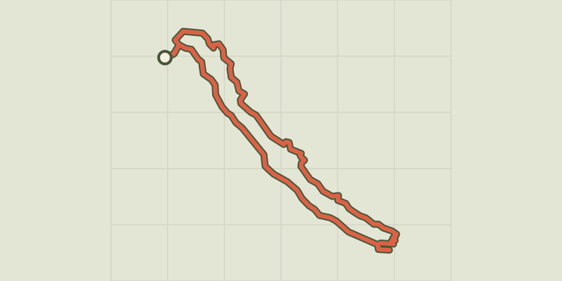 © OpenStreetMap, SRTM · OpenTopoMap (CC-BY-SA)
Le sentier du Roy
Écrins, La Motte-en-Champsaur (05) · LoopOfficial rating by Parc national des Écrins © OpenStreetMap, SRTM · OpenTopoMap (CC-BY-SA)
Font Froide Mountain Pass
Écrins, La Motte-en-Champsaur (05) · Out and backOfficial rating by Parc national des Écrins © OpenStreetMap, SRTM · OpenTopoMap (CC-BY-SA)
Du refuge des Souffles au refuge de l'Olan (sans voiture)
Écrins, Villar-Loubière (05) · Point to pointOfficial rating by Parc national des Écrins