
Tour of Champsaur by mountain bike - 3 days

Key facts
- Distance
- 153 km
- Ascent
- +4,831 m
- Descent
- −4,451 m
- Estimated time
- 19 hr 50
- mtb
- Difficulty
- Difficult
- official rating
- Route
- Point to point
- ends elsewhere
Profile and gradient
- under 10%
- 10 to 20%
- over 20%
Gradient along the route: 134 km under 10%, 18.0 km at 10 to 20% and 0.5 km over 20%. Elevation from 843 m to 1,892 m over 153 km.
Description
Split into three 50km stages with an elevation change of 1,650 m, this trail appears relatively fast at first but becomes increasingly technical and physically demanding thereafter. Setting off on a discovery of Champsaur to encounter varied and sunlit landscapes is all part of the experience of this trail. At each Stage, the backdrop changes radically, alternating between a high mountain environment and Mediterranean influences. Splendid landscapes open up over the valley and the Parc National des Écrins. No-one will be disappointed by this Tour. The entire circuit, in particular its initial section, is quite fast with no really difficult or technical stretches. The routes along the valley bottoms run gently along farm tracks and quiet little roads. Fortunately, the ascents through forested areas - some of them long - are shaded and lead up to the alpine pastures of each slope. The balcony paths you then use (especially on the very beautiful second stage), run along or drop down via technical and fun singles treks. The day is spent well, with mind and body tested! The beautiful panoramic stopping points encountered all along the physical stretches will be welcomed as an opportunity to eat, contemplate... or have a siesta!
Difficulty
Official rating: difficult, by Parc national des Écrins.
Before you go
- A trail that is more agreeable in autumn (ambiance and colours) rather than spring as the technical stretches are more cyclable, "cleaned" by the passage of hikers in the summer season.
- Be sure to train thoroughly before embarking on three days of alpine mountain biking!
Getting there
Start: Ancelle, Ancelle (05).
Sources
- Track: Parc national des Écrins, Licence Ouverte 2.0, Licence Ouverte 2.0 (Etalab) (destination.ecrins-parcnational.fr/trek/940370-Tour-du-Champsaur-VTT---3-jours). Time estimated by GPX Path with the Mac app rule, breaks not included.
- Official elevation gain: 4,831 m, Parc national des Écrins
Nearby tracks

 © OpenStreetMap, SRTM · OpenTopoMap (CC-BY-SA)
Tour of Champsaur by mountain bike - 5 days
Écrins, Ancelle (05) · Point to pointOfficial rating by Parc national des Écrins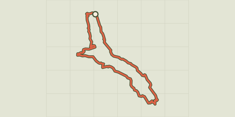 © OpenStreetMap, SRTM · OpenTopoMap (CC-BY-SA)
Vaucluse loop
Écrins, Réallon (05) · LoopOfficial rating by Parc national des Écrins © OpenStreetMap, SRTM · OpenTopoMap (CC-BY-SA)
Le Fort
Écrins, Réallon (05) · LoopOfficial rating by Parc national des Écrins © OpenStreetMap, SRTM · OpenTopoMap (CC-BY-SA)
Les Mallets
Écrins, Réallon (05) · LoopOfficial rating by Parc national des Écrins © OpenStreetMap, SRTM · OpenTopoMap (CC-BY-SA)
Enduro de Joubelle
Écrins, Réallon (05) · Point to pointOfficial rating by Parc national des Écrins © OpenStreetMap, SRTM · OpenTopoMap (CC-BY-SA)
Le lac de Saint-Apollinaire
Écrins, Saint-Apollinaire (05) · LoopOfficial rating by Parc national des Écrins