
The balconies of Aiguebrun by mountain bike

Key facts
- Distance
- 12.4 km
- Ascent
- +196 m
- Descent
- −139 m
- Estimated time
- 1 hr 10
- mtb
- Difficulty
- Very easy
- official rating
- Route
- Loop
- back to the start
Profile and gradient
- under 10%
- 10 to 20%
- over 20%
Gradient along the route: 12.1 km under 10% and 0.3 km at 10 to 20%. Elevation from 431 m to 558 m over 12.4 km.
Description
A stroll in the shape of a large 8, to be wandered as of the age of 8 years and up to 88 years, on a 8-speed mountain bike! « A biking trail suitable for first laps with the family! No real technical difficulty, a total distance and reasonable gradients, two steep but short paved climbs and a loop hole halfway. This pleasant walk also offers beautiful views of the Aiguebrun valley, the castle and Fort de Buoux». Eric Garnier, Head of Studies for outdoor sports at the Luberon RNP. From the car park at the northern entrance of the village, go right on D113 and turn left. Outside the town hall, turn right and climb the steep narrow road. Pass a hairpin turn and reach the plateau. In front of the Sainte-Marie chapel adjoining the cemetery, continue on the track to the right (GR®)). After a large field, take a quick left and hurtle down the slope to the farm of Jas (be careful)!). Turn left along the small road, go through the farm and continue for 300m. 1 - At the crossroads ''Petit Auron'', follow the road to the left, cross the bridge and turn left on the path that accesses the Château de l'Environnement. When arriving at the first buildings, turn right and walk the dirt road. At the next intersection (cross), continue straight on the shaded path. Continue the Chemin des Escoufines until Buoux by going around the hill. 2 - Coming out on the D113, take the road across over 30m and at the corner of the inn, go down the path to the right. Come out on the D113 (traffic!), cross the bridge and go left until the hamlet of Deyme. Continue on the dirt road, then rise slowly towards the plateau. 3 - At the crossroads ''Les Ramades'', continue straight first, and after a round trip of 300m, it's possible to reach the beautiful view of the cliff edge. Pass along the truffle fields, turn left in front of a house and 200m further, take the right track. At the crossroads ''Chante Duc'', turn left, hurtle down the 3 hairpin turns of the small road and reach Buoux nestled a little lower.
Difficulty
Official rating: very easy, by Parcs naturels régionaux de Provence-Alpes-Côte d'Azur.
Before you go
- - Après le point 2 : PRUDENCE dans la partie la plus technique du circuit ! La section amont de la descente ravinée par les orages est caillouteuse et jonchée de racines, puis la section aval, plus roulante, est agrémentée de deux marches qu'il convient de négocier avec sagesse. # VARIANTE : possibilité d'éviter cette descente technique de la Chapelle Sainte-Marie, en dévalant directement du point 2 au point 4 par la petite route revêtue qui plonge sur le village de Buoux. - Point 3 : ATTENTION ZONE PASTORALE à proximité et alentours de la ferme du Jas. En présence de chiens de protection venus à ma rencontre, je ne les caresse pas ni ne les menace. Je m'arrête, puis j'attends patiemment la fin du ''contrôle'' avant de reprendre calmement mon chemin en contournant le plus possible le troupeau. De préférence, ne pas emmener son chien et, sinon, bien le tenir en laisse. - ATTENTION : bien maîtriser sa vitesse en descente ; vous n'êtes pas seul sur ces sentiers ! - Vigilance aux carrefours pour bien suivre votre itinéraire, car le circuit VTT balisé n°60 au départ d'Apt, emprunte une grande partie également de ce circuit VTT n°59 (+ d'info sur l'espace VTT-FFC Provence Luberon Lure).
Getting there
Start: parking de Barbe Blanche, Buoux, Buoux (84).
Sources
- Track: Parcs naturels régionaux de Provence-Alpes-Côte d'Azur (Chemins des Parcs), Licence Ouverte 2.0, Licence Ouverte 2.0 (Etalab) (www.cheminsdesparcs.fr/trek/34293-BUOUX---Balcons-de-l-Aiguebrun-a-VTT). Time estimated by GPX Path with the Mac app rule, breaks not included.
- Official elevation gain: 196 m, Parcs naturels régionaux de Provence-Alpes-Côte d'Azur
Nearby tracks
 © OpenStreetMap, SRTM · OpenTopoMap (CC-BY-SA)
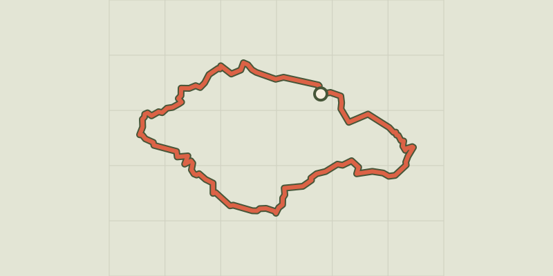
Colorado tour by mountain bike
Luberon, Rustrel (84) · LoopOfficial rating by Parcs naturels régionaux de Provence-Alpes-Côte d'Azur © OpenStreetMap, SRTM · OpenTopoMap (CC-BY-SA)
Tour of the Plan des Aires on mountain bike
Luberon, Forcalquier (04) · LoopOfficial rating by Parcs naturels régionaux de Provence-Alpes-Côte d'Azur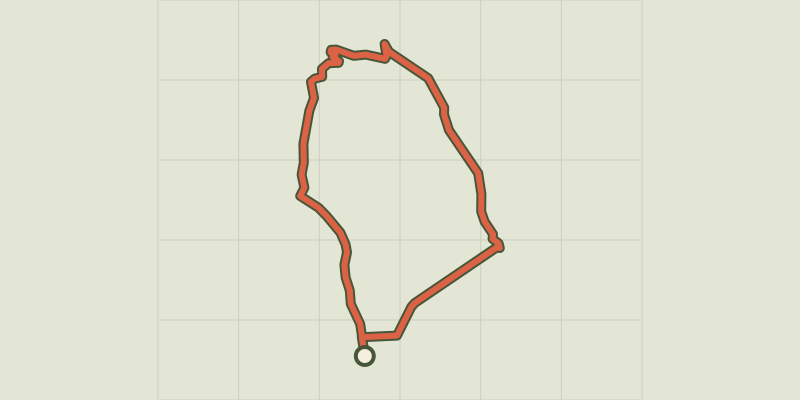
 © OpenStreetMap, SRTM · OpenTopoMap (CC-BY-SA)
Apt - Petit tour de Rocsalière
Luberon, Saignon (84) · LoopOfficial rating by Parcs naturels régionaux de Provence-Alpes-Côte d'Azur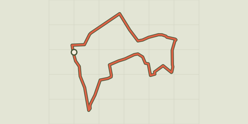 © OpenStreetMap, SRTM · OpenTopoMap (CC-BY-SA)
The Claparèdes plateau
Luberon, Saignon (84) · LoopOfficial rating by Parcs naturels régionaux de Provence-Alpes-Côte d'Azur © OpenStreetMap, SRTM · OpenTopoMap (CC-BY-SA)
The Claparèdes plateau
Luberon, Buoux (84) · LoopOfficial rating by Parcs naturels régionaux de Provence-Alpes-Côte d'Azur © OpenStreetMap, SRTM · OpenTopoMap (CC-BY-SA)
Aiguebrun valley
Luberon, Buoux (84) · LoopOfficial rating by Parcs naturels régionaux de Provence-Alpes-Côte d'Azur