
Tour of the Plan des Aires on mountain bike

Key facts
- Distance
- 6.5 km
- Ascent
- +171 m
- Descent
- −139 m
- Estimated time
- 45 min
- mtb
- Difficulty
- Easy
- official rating
- Route
- Loop
- back to the start
Profile and gradient
- under 10%
- 10 to 20%
- over 20%
Gradient along the route: 6.2 km under 10% and 0.3 km at 10 to 20%. Elevation from 476 m to 566 m over 6.5 km.
Description
Tour No.11 of the site VTT FFC Pays de Forcalquier - Montagne de Lure. A short but nice getaway, not strenuous but varied. « Proposed by Antoineexperienced local driver, I mistakenly expected an easy route of convenience. But I loved it! The steep coated uphill of the starting point leads to breathtaking views and a single track in the woods ,all dirt and very playful, gives way to a continuation of paths that wind through the fields. At last the final, in the narrow streets of Forcalquier, will bring us directly to the coffee shop.! A treat...» Eric Garnier, Head of Studies for outdoor sports at RNP Luberon. Back towards the tourist office, go right, pass in front of the Notre-Dame du Bourget gate and weave into the Rue Mercière. 1 - Turn left and then right unto Rue Passère. Continue left unto Rue Violette and Avenue Jean Giono. Ascend unto the road and reach the plateau. At the stop sign, continue to go left, on the 3rd departure route, keep left (direction Charembeau) and reach the summit of Plan des Aires. 2 - Just after two cypresses that mark the entrance to a path, turn left between two sycamores and go down the road in the big field. Down below, go straight unto a wooded path. Leave a ramp to the right and continue the single track in dirt (two beautiful banked corners on the left trace). 3 - Reach the road in front of the hotel Charembeau, go right. Turn right at the 1st intersection and take the next left track. Take a right unto the D216. 4 - Up to a pumping station, turn left and go down the Cléoux track. At the 1st left turn, go across on the edge of the field. Continue a little further down the path to the right of the field. Cross a large cultivated area and then go up a path that passes between two beautiful dry stone walls. Go straight on the path of the Grand Oratory said of Chasseou. 5 - Come out on the D216 and take a right on Rue Paradis. Continue straight on Rue Saint-Pierre, Rue Marius Debout, Rue Grande and Rue Planchud. Then, in the Rue des Cordeliers, turn left on Rue Mercière to return to the starting point, Place du Bourget.
Difficulty
Official rating: easy, by Parcs naturels régionaux de Provence-Alpes-Côte d'Azur.
Before you go
- Respect the crops when going into the fields. Beware of blind spots on some intersections.
Getting there
Start: Office de tourisme, Forcalquier, Forcalquier (04).
Sources
- Track: Parcs naturels régionaux de Provence-Alpes-Côte d'Azur (Chemins des Parcs), Licence Ouverte 2.0, Licence Ouverte 2.0 (Etalab) (www.cheminsdesparcs.fr/trek/30211-FORCALQUIER---Tour-du-Plan-des-Aires-a-VTT). Time estimated by GPX Path with the Mac app rule, breaks not included.
- Official elevation gain: 171 m, Parcs naturels régionaux de Provence-Alpes-Côte d'Azur
Nearby tracks
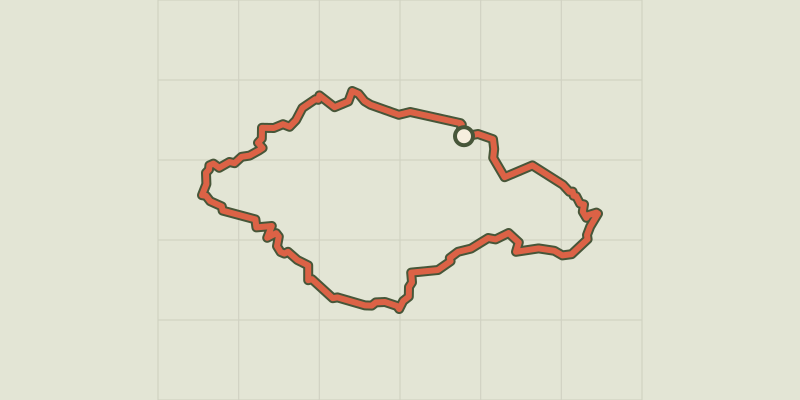
 © OpenStreetMap, SRTM · OpenTopoMap (CC-BY-SA)
Colorado tour by mountain bike
Luberon, Rustrel (84) · LoopOfficial rating by Parcs naturels régionaux de Provence-Alpes-Côte d'Azur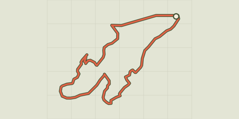 © OpenStreetMap, SRTM · OpenTopoMap (CC-BY-SA)
The balconies of Aiguebrun by mountain bike
Luberon, Buoux (84) · LoopOfficial rating by Parcs naturels régionaux de Provence-Alpes-Côte d'Azur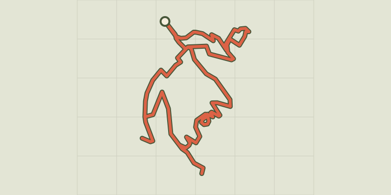
 © OpenStreetMap, SRTM · OpenTopoMap (CC-BY-SA)
Forcalquier and its fortress
Luberon, Forcalquier (04) · LoopOfficial rating by Parcs naturels régionaux de Provence-Alpes-Côte d'Azur © OpenStreetMap, SRTM · OpenTopoMap (CC-BY-SA)
The Rochers des Mourres
Luberon, Forcalquier (04) · LoopOfficial rating by Parcs naturels régionaux de Provence-Alpes-Côte d'Azur © OpenStreetMap, SRTM · OpenTopoMap (CC-BY-SA)
Limans - Tour du Pâty
Luberon, Limans (04) · LoopOfficial rating by Parcs naturels régionaux de Provence-Alpes-Côte d'Azur © OpenStreetMap, SRTM · OpenTopoMap (CC-BY-SA)
A stroll around the Observatory
Luberon, Saint-Michel-l'Observatoire (04) · LoopOfficial rating by Parcs naturels régionaux de Provence-Alpes-Côte d'Azur