
Trails of the Maquis de Gordes through La Sénancole
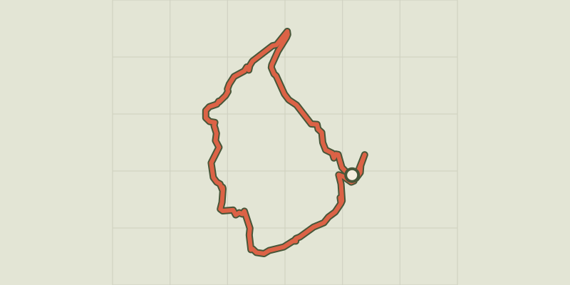
Key facts
- Distance
- 10.3 km
- Ascent
- +405 m
- Descent
- −356 m
- Estimated time
- 3 hr
- hiking
- Difficulty
- Moderate
- official rating
- Route
- Loop
- back to the start
Profile and gradient
- under 10%
- 10 to 20%
- over 20%
Gradient along the route: 8.0 km under 10%, 2.1 km at 10 to 20% and 0.3 km over 20%. Elevation from 214 m to 463 m over 10.3 km.
Description
Hiking and history, following the footsteps of the members of the Resistance from Gordes (1942 - 1944) To convey the memory of what the Resistance in Gordes was like during World War II, the cantonal association "Cadets de la Résistance" has marked and enriched two "memory lanes" around Gordes with information boards. This first tour (A) goes along the west side of Gordes, passes through the famous "Village des Bories", then up the wild valley of La Sénancole until reaching the impressive Sénanque Abbey... At the Place du Château (roundabout), go along the north wall of the castle, continue on the left when reaching the Y junction, pass in front of the post office, then continue straight on the Saint-Pons street until the entrance of the cemetery (GR®).). Retrace your steps, pass under the car park and come out on "Route Neuve" (D102). Go up the Baptistin-Picca street on the right. 1 - Near the castle (tourist office), rush into the Rue de l'Eglise. Pass Saint-Firmin's church gate, turn right 20m after the Porte-de-Savoie street and go down the Jean-Deyrolle street to the left (GR®).). Pass the hairpin turn and go up the Bel-Air path. At the top, continue straight, cross the Cavaillon road (D15) and weave in between two walls. Slope down gently and keep going straight. 2 Leave on the right the path leading to the Village des Bories and just after the turn, take a right. Go down to the end of tar and continue straight on the cobblestone path (GR®).). At the bottom of the valley of Sénancole, turn left and then take a quick right. Leave behind the flat path on the left and climb the gravel path across. Pass a house and continue on the track to the left. 3 - At the top, turn left (RP). After the car park of the Village des Bories, go onto a trail along an olive grove on the left. Pass along a large stone wall and continue on the ridge to the right. After two narrow hairpin turns, continue the descent to the bottom of the valley and continue upstream (RP). 4 - At the crossroads "la Senancole", cross the ravine to the left and go up the trail of Grande Combe to the right. Leave a trail on the left (RP) and advance 130m further. 5 - Turn right, leave the valley and climb a rocky path. Once on the plateau, reach the old farm of Débroussède. Continue to the right on a poorly marked trail for about 80m and take a quick right then a left in the valley of La Sénancole. Cross the ford and reach the Senanque Abbey. 6 - Climb the path on the right going above the car park. Turn right and go up the road (GR®).). Go down the road (D177) for 100m and go onto the trail on the right (GR®).). Keep descending straight. Reach a small road. Follow it to the left and reach the Sénanque road (D177). 7 - Take the road (D177) on the right 220m further, then at a lamppost under an oak, turn left and get onto the Gordes road (D15). Turn left, pass the big curve and return to the castle (GR®).).
Difficulty
Official rating: moderate, by Parcs naturels régionaux de Provence-Alpes-Côte d'Azur.
Before you go
- Caution with your ankles on rocky and slippery passages.
- Be careful with traffic when approaching Gordes.
- The route is signalled at major intersections by arrows with a brown Lorraine cross.
Getting there
Start: Place du Château, Gordes, Gordes (84).
Sources
- Track: Parcs naturels régionaux de Provence-Alpes-Côte d'Azur (Chemins des Parcs), Licence Ouverte 2.0, Licence Ouverte 2.0 (Etalab) (www.cheminsdesparcs.fr/trek/31007-GORDES---Sentier-du-Maquis-de-Gordes-par-la-Senancole). Time estimated by GPX Path with the Mac app rule, breaks not included.
- Official elevation gain: 405 m, Parcs naturels régionaux de Provence-Alpes-Côte d'Azur
Nearby tracks

 © OpenStreetMap, SRTM · OpenTopoMap (CC-BY-SA)
Gordes - Le col de Gordes
Luberon, Gordes (84) · LoopOfficial rating by Parcs naturels régionaux de Provence-Alpes-Côte d'Azur © OpenStreetMap, SRTM · OpenTopoMap (CC-BY-SA)
Gordes - Le moulin Jean-de-Marre
Luberon, Gordes (84) · Out and backOfficial rating by Parcs naturels régionaux de Provence-Alpes-Côte d'Azur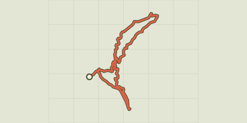 © OpenStreetMap, SRTM · OpenTopoMap (CC-BY-SA)
Véroncle in its entirety
Luberon, Gordes (84) · LoopOfficial rating by Parcs naturels régionaux de Provence-Alpes-Côte d'Azur © OpenStreetMap, SRTM · OpenTopoMap (CC-BY-SA)
Veroncle, through its depths!
Luberon, Gordes (84) · Point to pointOfficial rating by Parcs naturels régionaux de Provence-Alpes-Côte d'Azur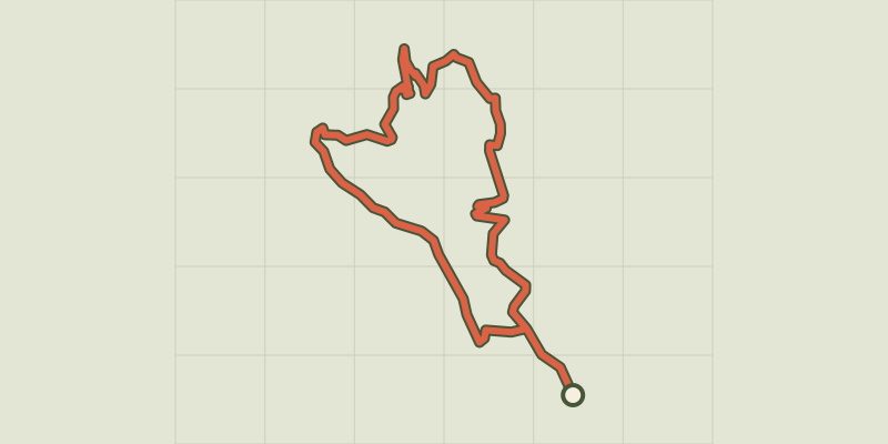 © OpenStreetMap, SRTM · OpenTopoMap (CC-BY-SA)
Gordes - Sentier du Maquis de Gordes par Véroncle
Luberon, Gordes (84) · LoopOfficial rating by Parcs naturels régionaux de Provence-Alpes-Côte d'Azur © OpenStreetMap, SRTM · OpenTopoMap (CC-BY-SA)
Cabrières d’Avignon - De la Cédraie au Mur de la Peste
Luberon, Cabrières-d'Avignon (84) · LoopOfficial rating by Parcs naturels régionaux de Provence-Alpes-Côte d'Azur