
Veroncle, through its depths!

Key facts
- Distance
- 7.2 km
- Ascent
- +392 m
- Descent
- −18 m
- Estimated time
- 2 hr 05
- hiking
- Difficulty
- Difficult
- official rating
- Route
- Point to point
- ends elsewhere
Profile and gradient
- under 10%
- 10 to 20%
- over 20%
Gradient along the route: 6.7 km under 10% and 0.5 km at 10 to 20%. Elevation from 196 m to 501 m over 7.2 km.
Description
Themeanderings of the gorge of Veroncle: see the water for the prodigious show it left, more than for its rare lapping... "Themastery of water and its uses is a dominant feature of Mediterranean civilization. If the gorgs of Veroncle, with its canals and windmills, are a striking proof of it, we too often forget the genius of which it was necessary to deploy and to exploit the water in our drymountains! " From "Mills of the Combe de Véroncle" OT of Gordes - Maurice Chabert, president of the departmental council of Vaucluse, formermayor of Gordes. Before attacking the long ascent of the gorges, take the time to go and park a vehicle in the village of Murs to facilitate your return. Otherwise, return by the same path, or else by a part of the neighboring road "the integral of the gorge of Veroncle". From the small car park on the edge of D2, go along the trail and join themill of the Grailles (private, can not be visited). 1 Go on the trail that leaves under the hamlet of the Grailles and, 60m further, take on the right the bottom of the ravine. Reach the Cabrier windmill. Slip along the wall on the left, cross a narrow passage in balcony, then pass the water supply channel. Weave along the wall to the left, cross a narrow balcony passage, then pass through the water carrying canal. Climb a first ladder, pass a ledge and continue alternating between the two banks. Higher up, cross a rocky ledge (handrail), then move left to rise. Pass a flat area and go down to the right. Go left to the bottom of the Gorges. Pass the Jean de Marre windmills (I and II) and then reach the crossroads upstream. 2 - Continue straight ahead for 30m. Leave on the right the path that goes up towards Murs and sneak straight into the bottom of the ravine. Stay on the right bank (left side ascends) and find themill of the Well of Cata. Ascend to the left to pass the offset and continue upstream of the gorge. Join the foot of the Charlessemill. Climb left to reach the entrance of its forced pipe. 3 - Turn right and continue along the trail in the bottom of the valley. Pass the Devissé windmill and continue going. Go past themill of the ponds (private, can not be visited) and before the ruins of the dam, climb two winding paths on the right. At the end of the trail, continue straight ahead. Farther, go up the small road on the right and reach the village of Murs.
Difficulty
Official rating: difficult, by Parcs naturels régionaux de Provence-Alpes-Côte d'Azur.
Before you go
- Do not go after a thunderstorm or in rainy weather; certain passages in the bottom of the ravine can prove to be very delicate or even dangerous!
- In the downstream part of the gorge, be very careful on the crossings ofmore or less aerial offsets (ladder, handrail).
- Caution with your ankles on rocky and slippery passages at the bottom.
Getting there
Start: Parking en aval du hameau des Grailles à Gordes, au pied des gorges de Véroncle., Gordes (84).
Sources
- Track: Parcs naturels régionaux de Provence-Alpes-Côte d'Azur (Chemins des Parcs), Licence Ouverte 2.0, Licence Ouverte 2.0 (Etalab) (www.cheminsdesparcs.fr/trek/34232-GORDES---MURS---Veroncle%2C-par-ses-entrailles-!). Time estimated by GPX Path with the Mac app rule, breaks not included.
- Official elevation gain: 392 m, Parcs naturels régionaux de Provence-Alpes-Côte d'Azur
Nearby tracks
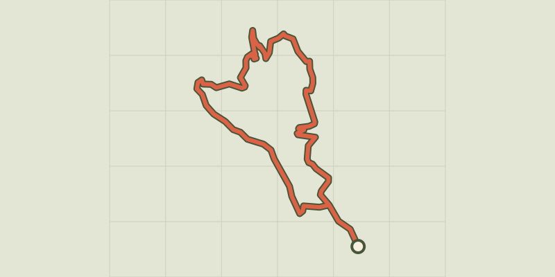
 © OpenStreetMap, SRTM · OpenTopoMap (CC-BY-SA)
Gordes - Sentier du Maquis de Gordes par Véroncle
Luberon, Gordes (84) · LoopOfficial rating by Parcs naturels régionaux de Provence-Alpes-Côte d'Azur © OpenStreetMap, SRTM · OpenTopoMap (CC-BY-SA)
Trails of the Maquis de Gordes through La Sénancole
Luberon, Gordes (84) · LoopOfficial rating by Parcs naturels régionaux de Provence-Alpes-Côte d'Azur © OpenStreetMap, SRTM · OpenTopoMap (CC-BY-SA)
Gordes - Le col de Gordes
Luberon, Gordes (84) · LoopOfficial rating by Parcs naturels régionaux de Provence-Alpes-Côte d'Azur © OpenStreetMap, SRTM · OpenTopoMap (CC-BY-SA)
Gordes - Le moulin Jean-de-Marre
Luberon, Gordes (84) · Out and backOfficial rating by Parcs naturels régionaux de Provence-Alpes-Côte d'Azur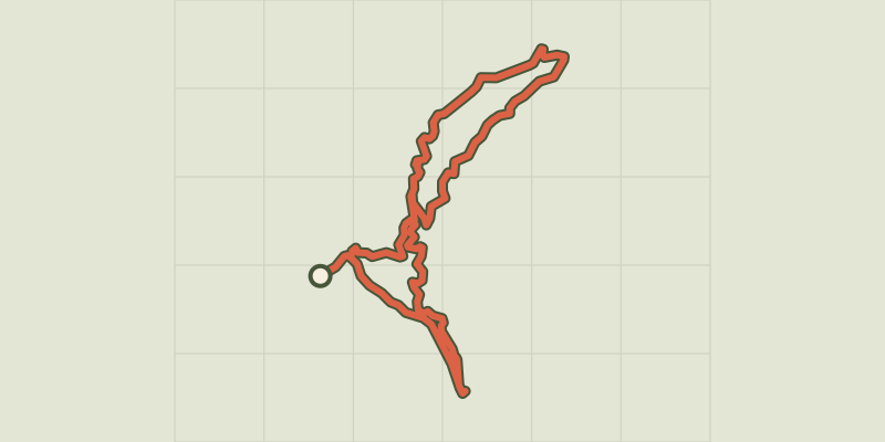 © OpenStreetMap, SRTM · OpenTopoMap (CC-BY-SA)
Véroncle in its entirety
Luberon, Gordes (84) · LoopOfficial rating by Parcs naturels régionaux de Provence-Alpes-Côte d'Azur © OpenStreetMap, SRTM · OpenTopoMap (CC-BY-SA)
The upstream sections of the gorges of Véroncle
Luberon, Murs (84) · LoopOfficial rating by Parcs naturels régionaux de Provence-Alpes-Côte d'Azur