
MTB 7 - Dargilan - graded blue

Key facts
- Distance
- 20.7 km
- Ascent
- +355 m
- Descent
- −282 m
- Estimated time
- 2 hr 05
- mtb
- Difficulty
- Easy
- official rating
- Route
- Loop
- back to the start
Profile and gradient
- under 10%
- 10 to 20%
- over 20%
Gradient along the route: 20.2 km under 10% and 0.5 km at 10 to 20%. Elevation from 917 m to 1,041 m over 20.7 km.
Description
Starting in the hamlet of Dargilan, which gave its name to the cave, you go through Scots pine forests, across open landscapes and past handsome fortified farms. You straddle three departments. From the car park, take the track suitable for motor vehicles that leads to Sérigas. 1) Go through the hamlet to reach the D 39. Turn right onto the road, then leave it again to take the second on the left, towards Le Marjoab. At the top of the slope, go right and pass through several gates to reach Le Marjoab. 2) Cross the village and take the road that leads to the D 47. Turn right onto the D 47. At the second intersection, turn right. The track joins up with the D 47c: turn left onto it and at the next crossroads turn right and continue to Les Mazes. 3) From les Mazes, continue straight ahead on the track till you reach Alluech. 4) In the village of Alluech, continue left between the houses. Cross the road and follow the path opposite to the GR® 62a trail. 5) Turn right onto the GR; the path between two hedges continues in the forest. It comes out on a road: turn left onto it and continue to the hamlet of Luc. 6) By the farm, leave the road for a path that passes close to a farm building. Continue on this path, which joins up with the D 47c. 7) Turn left onto the road and, at the crossroads, continue straight ahead on the D 139 till you reach the car park in Dargilan that you started from.
Difficulty
Official rating: easy, by Parc national des Cévennes.
Before you go
- No off-roading. You are strongly advised to wear a helmet. Do not forget your repair and tool kits. Please close all gates and barrier behind you. Slow down in farms and hamlets. Carry sufficient water. Be careful around livestock and guard dogs: get off your bike if necessary; do not rush them!
Getting there
Start: Hameau de Dargilan, Meyrueis (48).
Sources
- Track: Parc national des Cévennes, Licence Ouverte 1.0, Licence Ouverte 1.0 (Etalab) (destination.cevennes-parcnational.fr/trek/43859-Dargilan---VTT-n7). Time estimated by GPX Path with the Mac app rule, breaks not included.
- Official elevation gain: 355 m, Parc national des Cévennes
Nearby tracks

 © OpenStreetMap, SRTM · OpenTopoMap (CC-BY-SA)
MTB 6 - Hures, graded red
Cévennes, Hures-la-Parade (48) · LoopOfficial rating by Parc national des Cévennes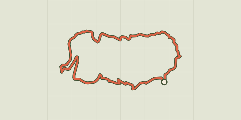 © OpenStreetMap, SRTM · OpenTopoMap (CC-BY-SA)
MTB 8 - The Bramabiau valley - graded blue
Cévennes, Saint-Sauveur-Camprieu (30) · LoopOfficial rating by Parc national des Cévennes © OpenStreetMap, SRTM · OpenTopoMap (CC-BY-SA)
MTB 7 - The Bonheur valley, graded blue
Occitanie, Saint-Sauveur-Camprieu (30) · LoopOfficial rating by Parc national des Cévennes © OpenStreetMap, SRTM · OpenTopoMap (CC-BY-SA)
MTB 6 - Le Trévezel forest - graded green
Cévennes, Saint-Sauveur-Camprieu (30) · LoopOfficial rating by Parc national des Cévennes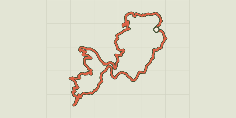 © OpenStreetMap, SRTM · OpenTopoMap (CC-BY-SA)
MTB 14 - The 3 rivers challenge, graded black
Cévennes, Saint-Sauveur-Camprieu (30) · LoopOfficial rating by Parc national des Cévennes © OpenStreetMap, SRTM · OpenTopoMap (CC-BY-SA)
Mas Saint-Chély, MTB circuit #5 (graded blue)
Cévennes, Mas-Saint-Chély (48) · LoopOfficial rating by Parc national des Cévennes