
GPX tracks in France (page 142)
7,023 GPX tracks in France, with distance, elevation gain and time for each track. Pick a region on the map, then filter by department, sport, distance, elevation gain and time.
All GPX tracks in France
Activity : All activities
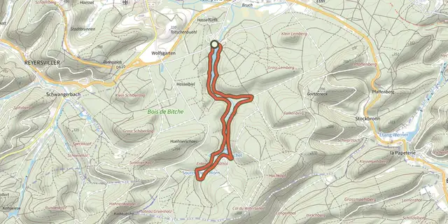
 Plan IGN © IGN 2026 · track © OpenStreetMapGreen ringVosges, Bitche (57) · Loop
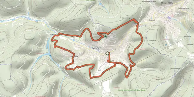 Plan IGN © IGN 2026 · track © OpenStreetMapGreen ringVosges, Soucht (57) · Loop
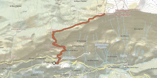 Plan IGN © IGN 2026Cheiron topProvence-Alpes-Côte d'Azur, Gréolières (06) · Out and backOfficial rating by Parcs naturels régionaux de Provence-Alpes-Côte d'Azur
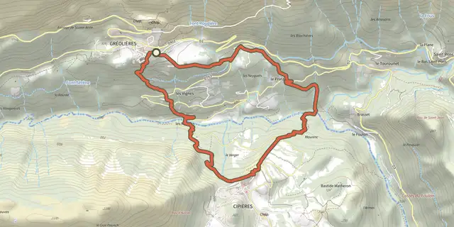 Plan IGN © IGN 2026Gréolières - Circuit du LoupProvence-Alpes-Côte d'Azur, Gréolières (06) · LoopOfficial rating by Parcs naturels régionaux de Provence-Alpes-Côte d'Azur
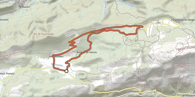
 Plan IGN © IGN 2026Greolieres - Circuit du PeyronProvence-Alpes-Côte d'Azur, Gréolières (06) · LoopOfficial rating by Parcs naturels régionaux de Provence-Alpes-Côte d'Azur
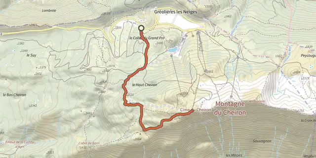 Plan IGN © IGN 2026Gréolières-les-Neiges - Cime du CheironProvence-Alpes-Côte d'Azur, Gréolières (06) · Out and backOfficial rating by Parcs naturels régionaux de Provence-Alpes-Côte d'Azur
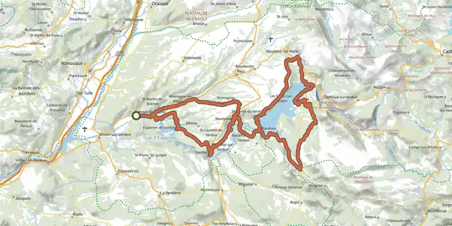
 Plan IGN © IGN 2026A vélo au fil de l'eauVerdon, Gréoux-les-Bains (04) · Point to pointOfficial rating by Parcs naturels régionaux de Provence-Alpes-Côte d'Azur
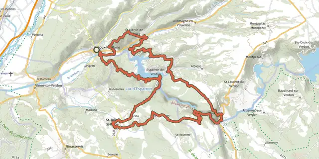 Plan IGN © IGN 2026The tour of the Esparron lakeVerdon, Gréoux-les-Bains (04) · Point to pointOfficial rating by Parcs naturels régionaux de Provence-Alpes-Côte d'Azur
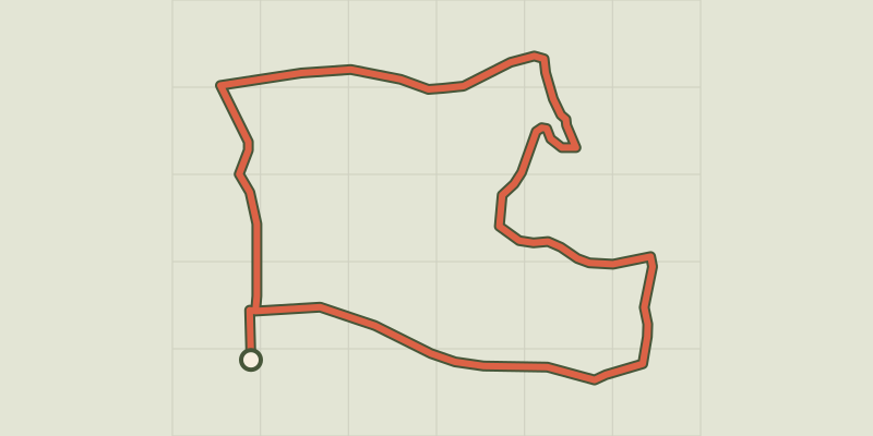 Plan IGN © IGN 2026 · track © OpenStreetMapGrézet-Cavagnan, vers le Grand Bois de Lanau - 5.2 kmNouvelle-Aquitaine, Grézet-Cavagnan (47) · Loop
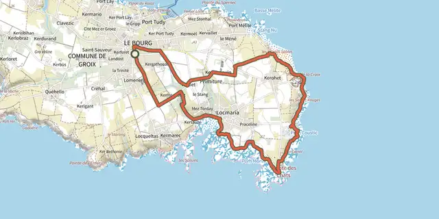 Plan IGN © IGN 2026Groix - Boucle 2 - Locmaria/Les ChatsBrittany, Groix (56) · Loop
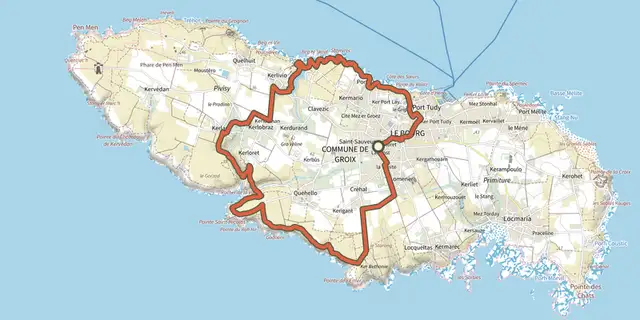 Plan IGN © IGN 2026Groix - Boucle 4 - Trou de l’Enfer/KerlardBrittany, Groix (56) · Loop
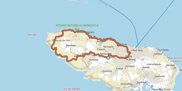 Plan IGN © IGN 2026Groix - Boucle 5 - Pen MenBrittany, Groix (56) · Loop
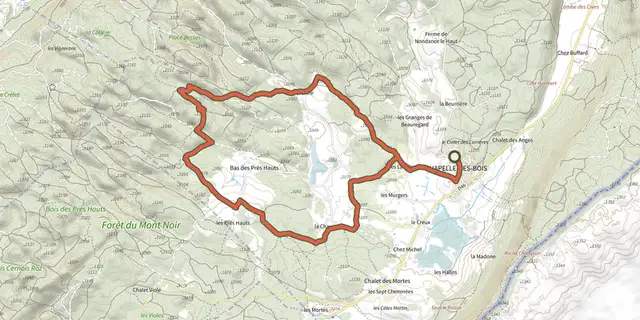 Plan IGN © IGN 2026Grotte à Pierre du Bourg - N°18Haut-Jura, Chapelle-des-Bois (25) · LoopOfficial rating by Département du Doubs
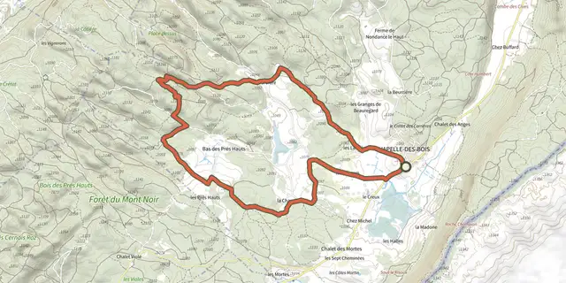 Plan IGN © IGN 2026Grotte à Pierre du Bourg - N°30Haut-Jura, Chapelle-des-Bois (25) · LoopOfficial rating by Département du Doubs
 Plan IGN © IGN 2026 · track © OpenStreetMapGrotte des MaquisardsNouvelle-Aquitaine, Saint-Merd-de-Lapleau (19) · Loop
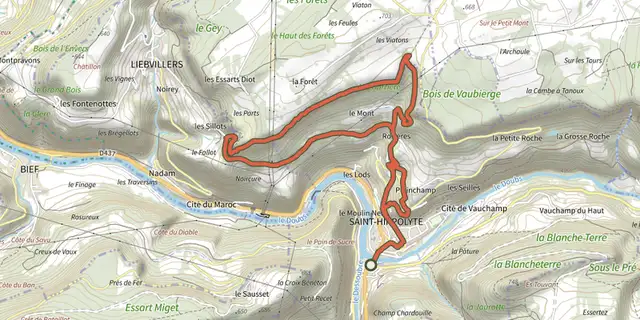 Plan IGN © IGN 2026Grotte du BisontinBourgogne-Franche-Comté, Saint-Hippolyte (25) · LoopOfficial rating by Département du Doubs
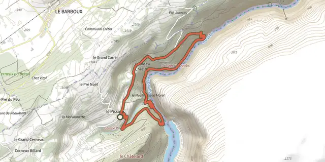 Plan IGN © IGN 2026Grotte du Grenier N°32Bourgogne-Franche-Comté, Villers-le-Lac (25) · LoopOfficial rating by Département du Doubs
 Plan IGN © IGN 2026 · track © OpenStreetMapGT20 / Étape 1 : Bastia - CenturiCap Corse, Bastia (2B) · Point to point
 Plan IGN © IGN 2026 · track © OpenStreetMapGT20 / Étape 10 : Ghisoni - ZicavuCorsica, Ghisoni (2B) · Point to point
 Plan IGN © IGN 2026 · track © OpenStreetMapGT20 / Étape 11 : Zicavu - ZonzaCorsica, Cozzano (2A) · Point to point
 Plan IGN © IGN 2026 · track © OpenStreetMapGT20 / Étape 12 : Zonza - BunifaziuCorsica, Zonza (2A) · Point to point
 Plan IGN © IGN 2026 · track © OpenStreetMapGT20 / Étape 3 : San Fiurenzu - BelgudeBalagne, Saint-Florent (2B) · Point to point
 Plan IGN © IGN 2026 · track © OpenStreetMapGT20 / Étape 4 : Belgude - CalinzanaBalagne, Belgodère (2B) · Point to point
 Plan IGN © IGN 2026 · track © OpenStreetMapGT20 / Étape 5 : Calinzana - GaleriaBalagne, Calenzana (2B) · Point to point