
GPX tracks in France (page 143)
7,023 GPX tracks in France, with distance, elevation gain and time for each track. Pick a region on the map, then filter by department, sport, distance, elevation gain and time.
All GPX tracks in France
Activity : All activities
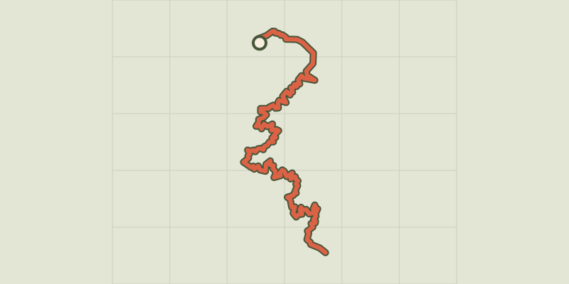
 Plan IGN © IGN 2026 · track © OpenStreetMapGT20 / Étape 6 : Galeria - PortuBalagne, Galéria (2B) · Point to point
 Plan IGN © IGN 2026 · track © OpenStreetMapGT20 / Étape 7 : Portu - VerghjuCorsica, Ota (2A) · Point to point
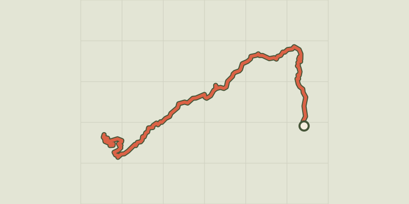 Plan IGN © IGN 2026 · track © OpenStreetMapGT20 / Étape 8 : Verghju - CortiCorsica, Corte (2B) · Point to point
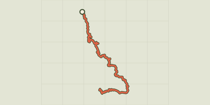 Plan IGN © IGN 2026 · track © OpenStreetMapGT20 / Étape 9 : Corti - GhisoniCorsica, Corte (2B) · Point to point

 Plan IGN © IGN 2026Gtm Liaison Glux LuzyMorvan, Glux-en-Glenne (58) · Point to point
 Plan IGN © IGN 2026Gtm Liaison Planchez ChateauMorvan, Planchez (58) · Point to point
 Plan IGN © IGN 2026GTMC VTT10 Chantelle / RiomAuvergne, Chantelle (03) · Point to point
 Plan IGN © IGN 2026GTMC VTT11 Riom / Clermont-FerrandAuvergne, Riom (63) · Point to point
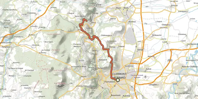 Plan IGN © IGN 2026GTMC VTT12 Clermont-Ferrand / VolvicAuvergne, Clermont-Ferrand (63) · Point to point
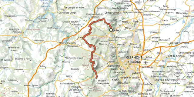 Plan IGN © IGN 2026GTMC VTT13 Volvic / LaschampsAuvergne, Volvic (63) · Point to point
 Plan IGN © IGN 2026GTMC VTT14 Laschamps / MurolAuvergne, Saint-Genès-Champanelle (63) · Point to point
 Plan IGN © IGN 2026GTMC VTT15 Murol / St-Alyre es MontagneAuvergne, Murol (63) · Point to point
 Plan IGN © IGN 2026GTMC VTT16 St-Alyre es Montagne / ChalinarguesAuvergne, Saint-Alyre-ès-Montagne (63) · Point to point

 Plan IGN © IGN 2026Gué de la ReineNouvelle-Aquitaine, Mairé (86) · Loop
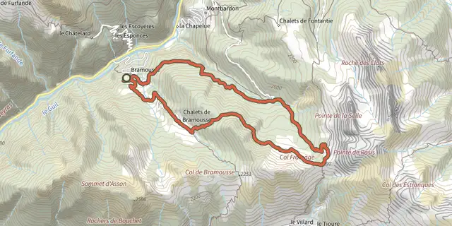 Plan IGN © IGN 2026Col Fromage depuis Bramousse - GuillestreQueyras, Guillestre (05) · LoopOfficial rating by Parcs naturels régionaux de Provence-Alpes-Côte d'Azur
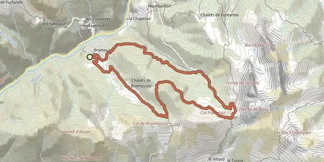 Plan IGN © IGN 2026Cols de Bramousse et Fromage depuis Bramousse - GuillestreQueyras, Guillestre (05) · LoopOfficial rating by Parcs naturels régionaux de Provence-Alpes-Côte d'Azur
 Plan IGN © IGN 2026Mélèze remarquable de Bramousse - GuillestreQueyras, Guillestre (05) · LoopOfficial rating by Parcs naturels régionaux de Provence-Alpes-Côte d'Azur
 Plan IGN © IGN 2026Pain de Sucre de GuillestreProvence-Alpes-Côte d'Azur, Guillestre (05) · Out and backOfficial rating by Parcs naturels régionaux de Provence-Alpes-Côte d'Azur
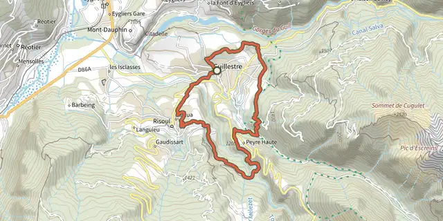 Plan IGN © IGN 2026Panacelle en VTT - Guillestre / RisoulProvence-Alpes-Côte d'Azur, Guillestre (05) · LoopOfficial rating by Parcs naturels régionaux de Provence-Alpes-Côte d'Azur
 Plan IGN © IGN 2026Rue des Masques - GuillestreProvence-Alpes-Côte d'Azur, Guillestre (05) · LoopOfficial rating by Parcs naturels régionaux de Provence-Alpes-Côte d'Azur
 Plan IGN © IGN 2026Rif-Bel - GuillestreProvence-Alpes-Côte d'Azur, Guillestre (05) · LoopOfficial rating by Parcs naturels régionaux de Provence-Alpes-Côte d'Azur
 Plan IGN © IGN 2026Tour de Guillestre - Guillestre en VTTProvence-Alpes-Côte d'Azur, Guillestre (05) · LoopOfficial rating by Parcs naturels régionaux de Provence-Alpes-Côte d'Azur
 Plan IGN © IGN 2026Gustave à bicycletteBourgogne-Franche-Comté, Ornans (25) · LoopOfficial rating by Département du Doubs
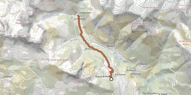 Plan IGN © IGN 2026Hamlet of GourniersÉcrins, Réallon (05) · Point to pointOfficial rating by Parc national des Écrins