
GPX tracks in France (page 246)
7,023 GPX tracks in France, with distance, elevation gain and time for each track. Pick a region on the map, then filter by department, sport, distance, elevation gain and time.
All GPX tracks in France
Activity : All activities

 Plan IGN © IGN 2026Roche de HautepierreBourgogne-Franche-Comté, Mouthier-Haute-Pierre (25) · LoopOfficial rating by Département du Doubs
 Plan IGN © IGN 2026Roche de RuanBourgogne-Franche-Comté, Maîche (25) · LoopOfficial rating by Département du Doubs
 Plan IGN © IGN 2026Roche du PrêtreBourgogne-Franche-Comté, Consolation-Maisonnettes (25) · LoopOfficial rating by Département du Doubs
 Plan IGN © IGN 2026Roche RomaineAuvergne, Murol (63) · Loop

 Plan IGN © IGN 2026Roche Sarrazine - n° 1Bourgogne-Franche-Comté, Les Fourgs (25) · LoopOfficial rating by Département du Doubs
 Plan IGN © IGN 2026Roche Tuiliere et SanadoireAuvergne, Rochefort-Montagne (63) · Loop
 Plan IGN © IGN 2026La Roche-Saint-Secret-Béconne - Tours et détours du LezAuvergne-Rhône-Alpes, Roche-Saint-Secret-Béconne (26) · LoopOfficial rating by Parcs naturels régionaux de Provence-Alpes-Côte d'Azur
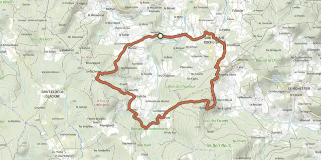 Plan IGN © IGN 2026Roche-SavineAuvergne, Saint-Amant-Roche-Savine (63) · Loop
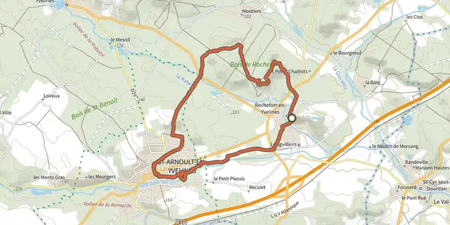 Plan IGN © IGN 2026 · track © OpenStreetMapRochefort-en-YvelinesÎle-de-France, Rochefort-en-Yvelines (78) · Loop
 Plan IGN © IGN 2026Montautour RockBrittany, Montautour (35) · Loop
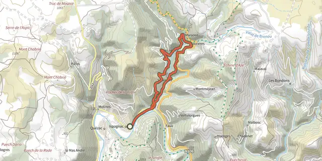 Plan IGN © IGN 2026Rocher des FéesCévennes, Ispagnac (48) · LoopOfficial rating by Parc national des Cévennes

 Plan IGN © IGN 2026Rocher des Fées - Trail n°43Cévennes, Ispagnac (48) · LoopOfficial rating by Parc national des Cévennes
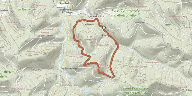 Plan IGN © IGN 2026 · track © OpenStreetMapRocher du CaliceVosges, Abreschviller (57) · Loop
 Plan IGN © IGN 2026Rocher du MoineBourgogne-Franche-Comté, Mouthier-Haute-Pierre (25) · LoopOfficial rating by Département du Doubs
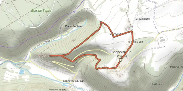 Plan IGN © IGN 2026Rocher du TourbillonBourgogne-Franche-Comté, Ornans (25) · LoopOfficial rating by Département du Doubs
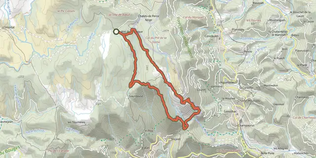 Plan IGN © IGN 2026Rocher du Trenze and Bayardet, Trail #20Cévennes, Pont de Montvert - Sud Mont Lozère (48) · LoopOfficial rating by Parc national des Cévennes
 Plan IGN © IGN 2026Rochers du Cerf N°22Bourgogne-Franche-Comté, Les Gras (25) · LoopOfficial rating by Département du Doubs
 Plan IGN © IGN 2026 · track © OpenStreetMapRoderen et RammersmattVosges, Roderen (68) · Loop
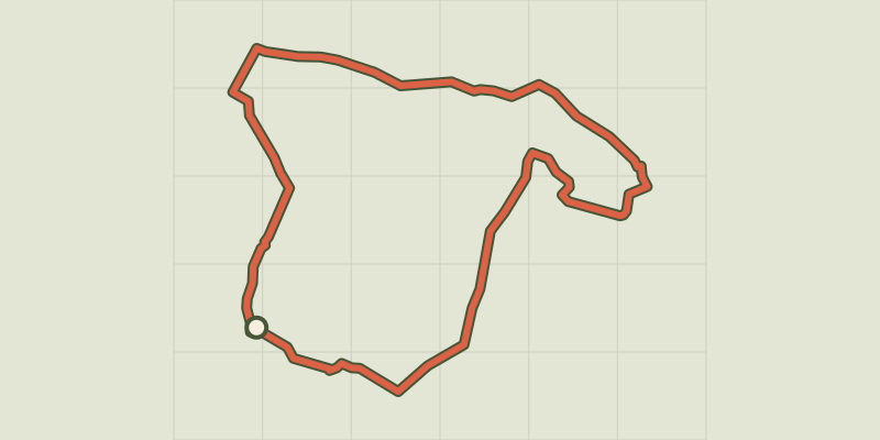 Plan IGN © IGN 2026 · track © OpenStreetMapRomestaing, dans les pas des Templiers - 8.3 kmNouvelle-Aquitaine, Romestaing (47) · Loop
 Plan IGN © IGN 2026 · track © OpenStreetMapRond jauneVosges, Rothbach (67) · Loop
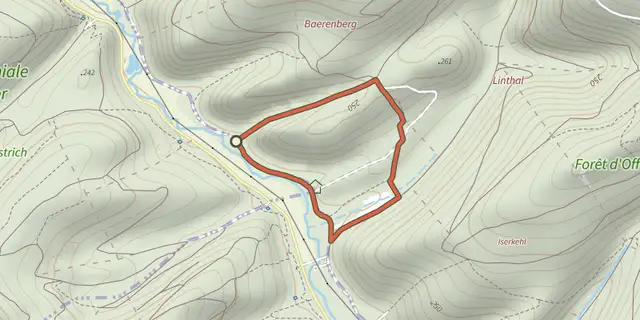 Plan IGN © IGN 2026 · track © OpenStreetMapRond rougeVosges, Lichtenberg (67) · Loop
 Plan IGN © IGN 2026 · track © OpenStreetMapRond rougeVosges, Offwiller (67) · Loop
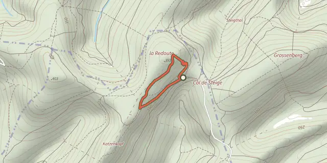 Plan IGN © IGN 2026 · track © OpenStreetMapRond rougeVosges, Offwiller (67) · Loop
 Plan IGN © IGN 2026Ronde des 2 VillagesBourgogne-Franche-Comté, Saint-Point-Lac (25) · LoopOfficial rating by Département du Doubs