
Rocher des Fées

Key facts
- Distance
- 11.8 km
- Ascent
- +476 m
- Descent
- −367 m
- Estimated time
- 3 hr 25
- hiking
- Difficulty
- Moderate
- official rating
- Route
- Loop
- back to the start
Profile and gradient
- under 10%
- 10 to 20%
- over 20%
Gradient along the route: 10.1 km under 10%, 1.2 km at 10 to 20% and 0.6 km over 20%. Elevation from 511 m to 794 m over 11.8 km.
Description
Explore an environment of ancient forests, stone paths, brooks and traditional hamlets. Panoramic views and heritage are in tune with each other. A hike along the slope of a small, steep-sided valley (valat) and on former paved tracks, in the Cévenol part of the district. It goes through hamlets that are built in turn from limestone, schist and granite, confirming that the cristalline and limestone zones meet at Ispagnac. Cross the D 907 bis by the pharmacy and walk left along it for 400 m, direction Florac. Take the path on the right that runs alongside the river Tarn, below the D 907 bis. Cross the road, walk alongside the large house on the left for 20 m along the road, and turn right to take the path. To begin with, this is steep. At Salanson, the path joins up with a road: turn right onto it, follow it for 750 m, and then leave it by taking the downhill path on the right. At the crossroads, take the path on the left that goes back uphill to Lonjagnes. In Lonjagnes, go down the small lane immediately on your right, which goes down between the houses to the bottom of the hamlet. Cross the small bridge and take the path on the right. At Le Marazeil, cross the footbridge and walk up the small lane to the top of the hamlet. After the carpark before the wooden cross, take the path on the right with the granite bridge, which joins up with the road. Turn right onto the road and walk to Nozières. Go uphill into the hamlet and take the second small lane on the right. This joins up with the N 106 road. 100 m before the stop sign, take a path on the right. Stay on the main path, ignoring two paths on the right. Cross the bridge, turn left, and follow the path alongside the brook to Le Cantonnet. To return to Ispagnac, cross the D road and join up with the outbound path.
Difficulty
Official rating: moderate, by Parc national des Cévennes.
Before you go
- Shaded hike. Steep climb from Le Cantonnet to Salanson. Crosses a sheep pen between Lonjagnes and Le Marazeil (keep dogs on lead). Steep descent before arriving at Nozières bridge. Make sure your equipment is appropriate for the day's weather conditions. Remember that the weather changes quickly in the mountains. Take enough water, wear good shoes and put on a hat. Please close all gates and barriers after yourself.
Getting there
Start: Ispagnac, Ispagnac (48).
Sources
- Track: Parc national des Cévennes, Licence Ouverte 1.0, Licence Ouverte 1.0 (Etalab) (destination.cevennes-parcnational.fr/trek/39253-Rocher-des-Fees). Time estimated by GPX Path with the Mac app rule, breaks not included.
- Official elevation gain: 476 m, Parc national des Cévennes
Nearby tracks

 © OpenStreetMap, SRTM · OpenTopoMap (CC-BY-SA)
The two bridges
Cévennes, Ispagnac (48) · LoopOfficial rating by Parc national des Cévennes © OpenStreetMap, SRTM · OpenTopoMap (CC-BY-SA)
From Ispagnac to the mediaeval village of Sainte-Enimie.
Cévennes, Ispagnac (48) · Point to pointOfficial rating by Parc national des Cévennes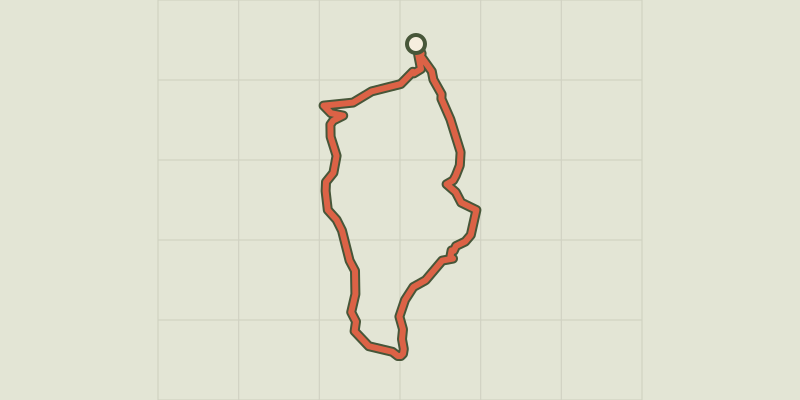 © OpenStreetMap, SRTM · OpenTopoMap (CC-BY-SA)
Paros
Cévennes, Ispagnac (48) · LoopOfficial rating by Parc national des Cévennes © OpenStreetMap, SRTM · OpenTopoMap (CC-BY-SA)
La Condamine
Cévennes, Gorges du Tarn Causses (48) · LoopOfficial rating by Parc national des Cévennes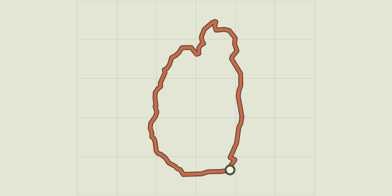 © OpenStreetMap, SRTM · OpenTopoMap (CC-BY-SA)
Causse de Sauveterre
Cévennes, Saint-Étienne-du-Valdonnez (48) · LoopOfficial rating by Parc national des Cévennes © OpenStreetMap, SRTM · OpenTopoMap (CC-BY-SA)
Puecheral
Cévennes, Florac Trois Rivières (48) · LoopOfficial rating by Parc national des Cévennes