
Alpilles Roquemartine by bike: the variant of Orgon
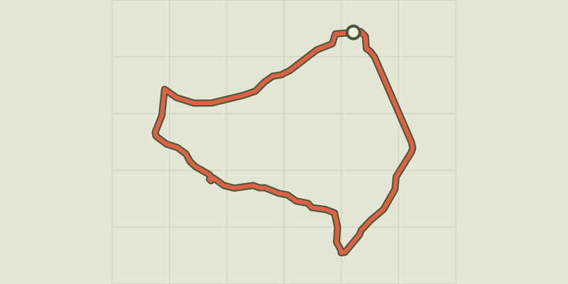
Key facts
- Distance
- 37.6 km
- Ascent
- +368 m
- Descent
- −315 m
- Estimated time
- 2 hr
- road cycling
- Difficulty
- Moderate
- official rating
- Route
- Loop
- back to the start
Profile and gradient
- under 10%
- 10 to 20%
- over 20%
Gradient along the route: 37.6 km under 10%. Elevation from 82 m to 274 m over 37.6 km.
Description
From village to village, let yourself be surprised by the simple pleasures offered by this peaceful corner of the Alpilles. This colorful loop, offers you to stroll through the varied landscapes offered by the Regional Natural Park. In addition to taking you into the heart of the Alpilles and taking you to the Luberon, you will also cross different towns, lively and warm, perfect places for a meal, a small snack or a sweet break.. From the Urgonia museum, turn right. Continue on the left by the Paradis uphill then right by Jean Moulin Avenue. 1- Take the D24b on the left after the sports complex and continue until Eygalières for about 7 km. Cross the village and continue on the D24b to the junction with the D24. 2- Turn left on the D24, towards Mouriès. Continue for 2 km. 3- At the intersection with the D25, take it on the left, towards Eyguières Continue on this road for about 10 km. 4- (Caution, traffic!) Turn right on the D569, always towards Eyguières. At the roundabout, continue straight ahead for 150m. 5- Turn left in the direction of Sénas. Continue for 7 km. 6- cross the roundabout of the entrance of the city. 300 meters later, turn left on the path of "Donne", just before the level crossing. Continue to Orgon. 7- Go through Orgon by the Fontaine street then Edmond Coste street to reach the starting point at the Urgonia museum.
Difficulty
Official rating: moderate, by Parcs naturels régionaux de Provence-Alpes-Côte d'Azur.
Before you go
- Follow the red and white signs marked "Alpilles Roquemartine" of the Bouches-du-Rhone Department
- For your safety, and for the preservation of forest areas, access to natural areas is regulated from June to September. Inquire during the summer period on 08 11 20 13 13 (price of a local call) or on www.bouches-du-rhone.pref.gouv.fr Download the application for free MYPROVENCE ENVIE DE BALADE (available on Appstore and Android Market).
Getting there
Start: Musée Urgonia, Orgon, Orgon (13).
Sources
- Track: Parcs naturels régionaux de Provence-Alpes-Côte d'Azur (Chemins des Parcs), Licence Ouverte 2.0, Licence Ouverte 2.0 (Etalab) (www.cheminsdesparcs.fr/trek/57883-ORGON---Alpilles-Roquemartine-a-velo-%3A-la-variante-d-Orgon). Time estimated by GPX Path with the Mac app rule, breaks not included.
- Official elevation gain: 368 m, Parcs naturels régionaux de Provence-Alpes-Côte d'Azur
Nearby tracks
 © OpenStreetMap, SRTM · OpenTopoMap (CC-BY-SA)
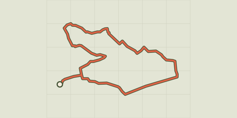
Perrier Redon by bicycle
Provence-Alpes-Côte d'Azur, Sénas (13) · LoopOfficial rating by Parcs naturels régionaux de Provence-Alpes-Côte d'Azur © OpenStreetMap, SRTM · OpenTopoMap (CC-BY-SA)
Robion - Du Calavon au Pays des Sorgues à vélo
Luberon, Robion (84) · LoopOfficial rating by Parcs naturels régionaux de Provence-Alpes-Côte d'Azur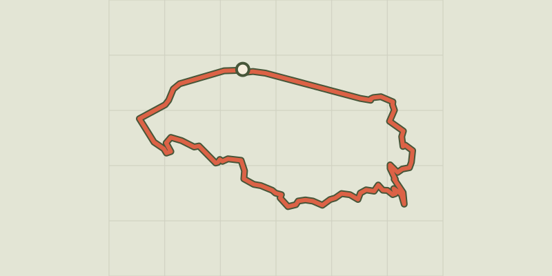 © OpenStreetMap, SRTM · OpenTopoMap (CC-BY-SA)
Perched villages by bike
Luberon, Maubec (84) · LoopOfficial rating by Parcs naturels régionaux de Provence-Alpes-Côte d'Azur © OpenStreetMap, SRTM · OpenTopoMap (CC-BY-SA)
Saint-Rémy-de-Provence - Les jardins de Mistral à vélo
Provence-Alpes-Côte d'Azur, Saint-Rémy-de-Provence (13) · LoopOfficial rating by Parcs naturels régionaux de Provence-Alpes-Côte d'Azur © OpenStreetMap, SRTM · OpenTopoMap (CC-BY-SA)
Saint Remy de Provence - Cycling from the Alpilles to Val d'Enfer
Provence-Alpes-Côte d'Azur, Saint-Rémy-de-Provence (13) · LoopOfficial rating by Parcs naturels régionaux de Provence-Alpes-Côte d'Azur © OpenStreetMap, SRTM · OpenTopoMap (CC-BY-SA)
The Alpilles Roquemartine by Bike: The Integral
Provence-Alpes-Côte d'Azur, Mouriès (13) · LoopOfficial rating by Parcs naturels régionaux de Provence-Alpes-Côte d'Azur