
Baou Mourine

Key facts
- Distance
- 8.0 km
- Ascent
- +204 m
- Descent
- −191 m
- Estimated time
- 55 min
- mtb
- Difficulty
- Very easy
- official rating
- Route
- Out and back
- same way back
Profile and gradient
- under 10%
- 10 to 20%
- over 20%
Gradient along the route: 8.0 km under 10%. Elevation from 999 m to 1,151 m over 8.0 km.
Description
A mountain bike ride to share with family in a wild nature on the Briasq trail that will take you to a lookout post with an exceptional view. "A beautiful course in an environment steeped in history with the presence of fortified enclosures testifying to the adaptation of the so-called Celto-Ligurians 1000 years before our era. Napoleon Bonaparte also marked the village of Escragnolles by his passage on his return from the Elba island in 1815. "Jean-Luc Manneveau -The Geophiles Back to the car park, turn right on a small paved road, cross the village of Escragnolles before joining the Colette car park 750 m further. 1- Take the Briasq Forest Trail in a southerly direction to Beacon 85 (PR). 2- Turn right on a stony track. Continue for 250 m. 3- Leave it to take a left at a barrier D.F.C.I. and continue for 1.5 km to the forked intersection Turn left and go to the point of view of Baou Mourine where is watchtower established. 4- Make the return by the same route.
Difficulty
Official rating: very easy, by Parcs naturels régionaux de Provence-Alpes-Côte d'Azur.
Before you go
- Take into account the hunting periods. Beware of grazing areas, if you encounter a protection dog, behave appropriately.
Getting there
Start: Parking du village, Escragnolles, Escragnolles (06).
Sources
- Track: Parcs naturels régionaux de Provence-Alpes-Côte d'Azur (Chemins des Parcs), Licence Ouverte 2.0, Licence Ouverte 2.0 (Etalab) (www.cheminsdesparcs.fr/trek/58914-ESCRAGNOLLES---Baou-Mourine-a-VTT). Time estimated by GPX Path with the Mac app rule, breaks not included.
- Official elevation gain: 204 m, Parcs naturels régionaux de Provence-Alpes-Côte d'Azur
Nearby tracks
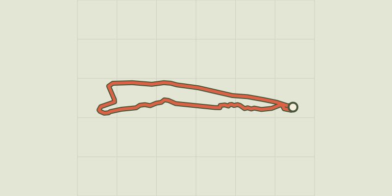
 © OpenStreetMap, SRTM · OpenTopoMap (CC-BY-SA)
Andon - Plaine de Caille
Provence-Alpes-Côte d'Azur, Andon (06) · LoopOfficial rating by Parcs naturels régionaux de Provence-Alpes-Côte d'Azur © OpenStreetMap, SRTM · OpenTopoMap (CC-BY-SA)
Circuit du Puits d'Amon
Provence-Alpes-Côte d'Azur, Saint-Cézaire-sur-Siagne (06) · LoopOfficial rating by Parcs naturels régionaux de Provence-Alpes-Côte d'Azur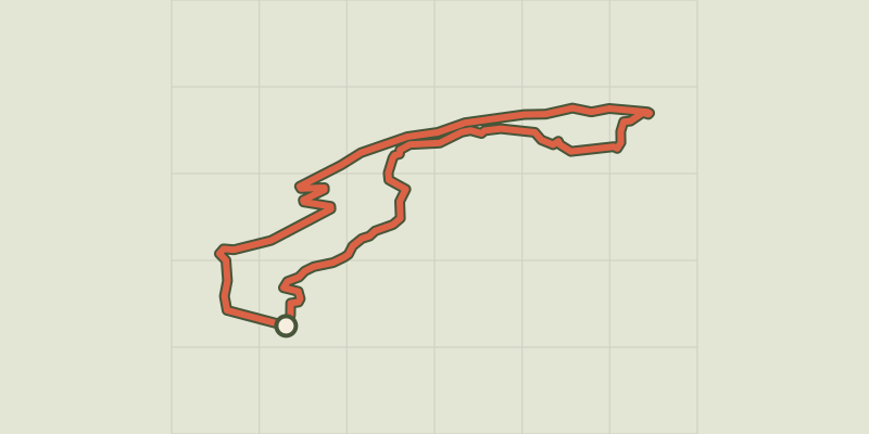 © OpenStreetMap, SRTM · OpenTopoMap (CC-BY-SA)
Greolieres - Circuit du Peyron
Provence-Alpes-Côte d'Azur, Gréolières (06) · LoopOfficial rating by Parcs naturels régionaux de Provence-Alpes-Côte d'Azur © OpenStreetMap, SRTM · OpenTopoMap (CC-BY-SA)
Collongues - Circuit des Mujouls
Provence-Alpes-Côte d'Azur, Collongues (06) · LoopOfficial rating by Parcs naturels régionaux de Provence-Alpes-Côte d'Azur © OpenStreetMap, SRTM · OpenTopoMap (CC-BY-SA)
Saint-André-les-Alpes - Le Chalvet à VTT
Verdon, Saint-André-les-Alpes (04) · LoopOfficial rating by Parcs naturels régionaux de Provence-Alpes-Côte d'Azur © OpenStreetMap, SRTM · OpenTopoMap (CC-BY-SA)
Moustiers-Sainte-Marie - Jusqu’aux plages du lac de Sainte-Croix à VTT
Verdon, Moustiers-Sainte-Marie (04) · Out and backOfficial rating by Parcs naturels régionaux de Provence-Alpes-Côte d'Azur