
Circuit du Puits d'Amon
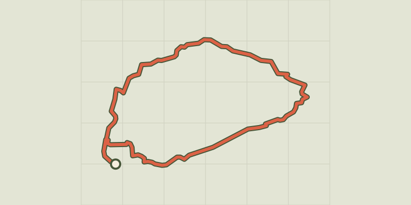
Key facts
- Distance
- 11.4 km
- Ascent
- +207 m
- Descent
- −186 m
- Estimated time
- 1 hr 10
- mtb
- Difficulty
- Very easy
- official rating
- Route
- Loop
- back to the start
Profile and gradient
- under 10%
- 10 to 20%
- over 20%
Gradient along the route: 10.6 km under 10% and 0.9 km at 10 to 20%. Elevation from 447 m to 611 m over 11.4 km.
Description
A path open to all, in a typical landscape of the high Grasse area. This route crosses vast wooded limestone plateaus. "A circuit that will take you on the heights of Saint-Cézaire-sur-Siagne by an alternation of broad tracks and wooded roads without great technical difficulties. After enjoying a well-deserved break at the Puits d'Amon in a beautiful glade, the descent to the village will make you discover splendid views of Lake St. Cassian. "Sophie LAGARDE - Pre-Alps d'Azur PNR. From Saint-Cézaire-sur-Siagne, go up the road of Saint-Vallier-de-Thiey for 1.5 km to the bus shelter " des redonnets ". 1- Take a right on the small paved road for 100 m and turn left to reach another small road. Continue on a wide stony path marked 27. 2- Go down slightly to the left on another track and continue on the marked stony path (PR) to go back on a grassland area. 3- fork to the right and get to the beacon 28. Then deviate slightly on the right via the beacon 29. Go back down a pebble road and join the small village of Saint-Cézaire-sur-Siagne through small paved roads.
Difficulty
Official rating: very easy, by Parcs naturels régionaux de Provence-Alpes-Côte d'Azur.
Before you go
- Take care to the grazing areas. In case of meeting with a Patou, behave appropriately.
Getting there
Start: Village Saint-Cézaire-sur-Siagne, Saint-Cézaire-sur-Siagne (06).
Sources
- Track: Parcs naturels régionaux de Provence-Alpes-Côte d'Azur (Chemins des Parcs), Licence Ouverte 2.0, Licence Ouverte 2.0 (Etalab) (www.cheminsdesparcs.fr/trek/62396-ST-CEZAIRE-SUR-SIAGNE---Le-Puits-d-Amon-a-VTT). Time estimated by GPX Path with the Mac app rule, breaks not included.
- Official elevation gain: 207 m, Parcs naturels régionaux de Provence-Alpes-Côte d'Azur
Nearby tracks

 © OpenStreetMap, SRTM · OpenTopoMap (CC-BY-SA)
Baou Mourine
Provence-Alpes-Côte d'Azur, Escragnolles (06) · Out and backOfficial rating by Parcs naturels régionaux de Provence-Alpes-Côte d'Azur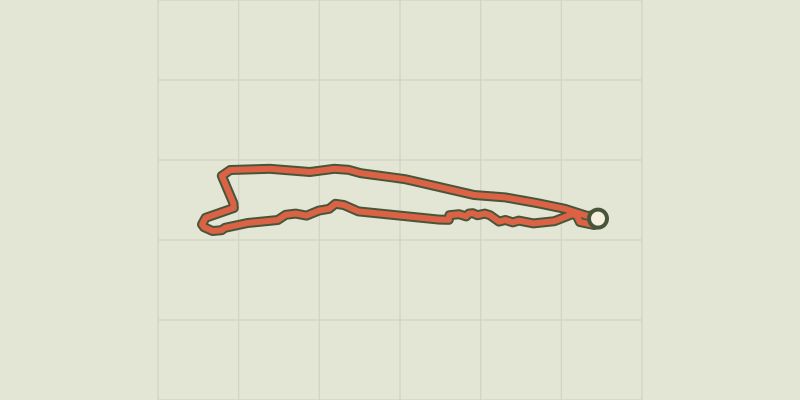 © OpenStreetMap, SRTM · OpenTopoMap (CC-BY-SA)
Andon - Plaine de Caille
Provence-Alpes-Côte d'Azur, Andon (06) · LoopOfficial rating by Parcs naturels régionaux de Provence-Alpes-Côte d'Azur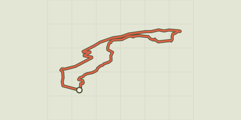 © OpenStreetMap, SRTM · OpenTopoMap (CC-BY-SA)
Greolieres - Circuit du Peyron
Provence-Alpes-Côte d'Azur, Gréolières (06) · LoopOfficial rating by Parcs naturels régionaux de Provence-Alpes-Côte d'Azur © OpenStreetMap, SRTM · OpenTopoMap (CC-BY-SA)
Collongues - Circuit des Mujouls
Provence-Alpes-Côte d'Azur, Collongues (06) · LoopOfficial rating by Parcs naturels régionaux de Provence-Alpes-Côte d'Azur © OpenStreetMap, SRTM · OpenTopoMap (CC-BY-SA)
Saint-André-les-Alpes - Le Chalvet à VTT
Verdon, Saint-André-les-Alpes (04) · LoopOfficial rating by Parcs naturels régionaux de Provence-Alpes-Côte d'Azur © OpenStreetMap, SRTM · OpenTopoMap (CC-BY-SA)
Moustiers-Sainte-Marie - Jusqu’aux plages du lac de Sainte-Croix à VTT
Verdon, Moustiers-Sainte-Marie (04) · Out and backOfficial rating by Parcs naturels régionaux de Provence-Alpes-Côte d'Azur