
Chapelle Saint-Ours circuit (no. 2)
Key facts
- Distance
- 7.8 km
- Ascent
- +292 m
- Descent
- −258 m
- Estimated time
- 1 hr 05
- mtb
- Difficulty
- Easy
- official rating
- Route
- Loop
- back to the start
Profile and gradient
- under 10%
- 10 to 20%
- over 20%
Gradient along the route: 6.5 km under 10% and 1.4 km at 10 to 20%. Elevation from 1,155 m to 1,412 m over 7.8 km.
Description
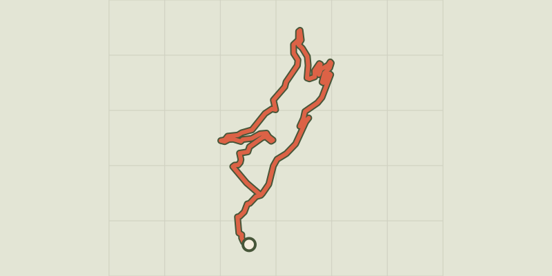
Easy circuit on small roads and forest tracks overlooking a glacial rock bar, the Rocher Baron. This short, easy route invites you on a discovery of the hamlets of Saint-Martin-de-Queyrières, in particular the hamlet of Sachas with its chapel and sundial. The descent to the hamlet of Prelles will take you past the Oratoire Saint-Ours (Saint Ursus in English), a sixth-century spiritual leader from the Valley of Aosta. The route starts at the La Rochette housing development. Take the narrow road leading towards Sachas. - At the intersection with a forest track, carry on along the narrow road leading up to Sachas - As you enter Sachas, the road turns into a forest track on which you carry on uphill - At the next intersection, ignore the track running uphill to the right and start to descend, continuing straight ahead - After the Oratoire Saint-Ours, stay on the main road which leads down to Prelles - When you come to a mountain stream, you will find a narrow road which you follow through the hamlet - At the cemetery, turn left and follow the track and the GR route - At the intersection with the road, pick up the route along which you climbed uphill and return to the starting point
Difficulty
Official rating: easy, by Parc national des Écrins.
Before you go
- Rescue services contact details: Secours Montagne(Mountain Rescue): +33 (0)4 92 22 22 22 or 112
- Take your litter home
- Do not take shortcuts across pastureland
Getting there
Start: Parking de Prelles, Croisement D4-N94, Saint-Martin-de-Queyrières, Saint-Martin-de-Queyrières (05).
Sources
- Track: Parc national des Écrins, Licence Ouverte 2.0, Licence Ouverte 2.0 (Etalab) (destination.ecrins-parcnational.fr/trek/973526-VTT-N02---Circuit-de-la-Chapelle-Saint-Ours). Time estimated by GPX Path with the Mac app rule, breaks not included.
- Official elevation gain: 292 m, Parc national des Écrins
Nearby tracks

 © OpenStreetMap, SRTM · OpenTopoMap (CC-BY-SA)
Le Poux circuit (no. 1)
Provence-Alpes-Côte d'Azur, Saint-Martin-de-Queyrières (05) · LoopOfficial rating by Parc national des Écrins © OpenStreetMap, SRTM · OpenTopoMap (CC-BY-SA)
The Grande Traversée des Hautes-Alpes (GTHA) in the Pays des Écrins
Écrins, Saint-Martin-de-Queyrières (05) · Point to pointOfficial rating by Parc national des Écrins © OpenStreetMap, SRTM · OpenTopoMap (CC-BY-SA)
Le Grand Bois des Bans
Provence-Alpes-Côte d'Azur, Villar-Saint-Pancrace (05) · LoopOfficial rating by Parc national des Écrins © OpenStreetMap, SRTM · OpenTopoMap (CC-BY-SA)
Les Mines de Villard-St-Pancrace
Provence-Alpes-Côte d'Azur, Villar-Saint-Pancrace (05) · LoopOfficial rating by Parc national des Écrins © OpenStreetMap, SRTM · OpenTopoMap (CC-BY-SA)
Le Clot de l'Ase
Provence-Alpes-Côte d'Azur, Villar-Saint-Pancrace (05) · LoopOfficial rating by Parc national des Écrins © OpenStreetMap, SRTM · OpenTopoMap (CC-BY-SA)
Mélézin
Provence-Alpes-Côte d'Azur, Villar-Saint-Pancrace (05) · LoopOfficial rating by Parc national des Écrins