
Le Poux circuit (no. 1)

Key facts
- Distance
- 7.5 km
- Ascent
- +492 m
- Descent
- −477 m
- Estimated time
- 1 hr 30
- mtb
- Difficulty
- Difficult
- official rating
- Route
- Loop
- back to the start
Profile and gradient
- under 10%
- 10 to 20%
- over 20%
Gradient along the route: 3.6 km under 10%, 1.9 km at 10 to 20% and 2.1 km over 20%. Elevation from 1,174 m to 1,661 m over 7.5 km.
Description
Running above the municipality of Saint-Martin-de-Queyrières, this circuit offers a tranquil, simple walk along easy, accessible paths. This mountain bike route invites you on a discovery of one of the key climbing sites in the Pays des Écrins, called the Rocher Baron. You will then pass through two small hamlets in the municipality of Saint-Martin-de-Queyrières, both built around their alpine pasture chapel. Both villages stand on the banks of the mountain stream which has shaped the Saint-Sébastien valley. The circuit ends with a descent through a conifer forest overlooking the municipality. As you leave the car park of the mayor's office ("Mairie") in Saint-Martin-de-Queyrières, turn left. - After crossing the Saint-Sébastien mountain stream, head right towards the Rocher Baron, a drivable track all the way - When you reach the plateau of the Rocher Baron, head right - At Le Clot de la Rama, carry on along the drivable track towards Le Pas du Rif - Cross the footbridge over the Saint-Sébastien mountain stream, heading towards Le Poux - Approximately 500 metres after the footbridge, turn right off the track and follow the path running downhill - 200 metres after the water catchment, leave the track and turn right towards the municipality of Saint-Martin-de-Queyrières and your starting point
Difficulty
Official rating: difficult, by Parc national des Écrins.
Before you go
- Rescue services contact details: Secours Montagne(Mountain Rescue): +33 (0)4 92 22 22 22 or 112
- Take your litter home
- Do not take shortcuts across pastureland
Getting there
Start: Mairie de Saint-Martin-de-Queyrières, Saint-Martin-de-Queyrières (05).
Sources
- Track: Parc national des Écrins, Licence Ouverte 2.0, Licence Ouverte 2.0 (Etalab) (destination.ecrins-parcnational.fr/trek/965955-VTT-N01---Circuit-du-Poux). Time estimated by GPX Path with the Mac app rule, breaks not included.
- Official elevation gain: 492 m, Parc national des Écrins
Nearby tracks

 © OpenStreetMap, SRTM · OpenTopoMap (CC-BY-SA)
Chapelle Saint-Ours circuit (no. 2)
Provence-Alpes-Côte d'Azur, Saint-Martin-de-Queyrières (05) · LoopOfficial rating by Parc national des Écrins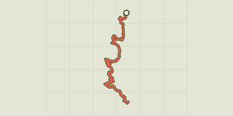 © OpenStreetMap, SRTM · OpenTopoMap (CC-BY-SA)
The Grande Traversée des Hautes-Alpes (GTHA) in the Pays des Écrins
Écrins, Saint-Martin-de-Queyrières (05) · Point to pointOfficial rating by Parc national des Écrins © OpenStreetMap, SRTM · OpenTopoMap (CC-BY-SA)
Le Grand Parcher circuit (no. 6)
Écrins, Les Vigneaux (05) · LoopOfficial rating by Parc national des Écrins © OpenStreetMap, SRTM · OpenTopoMap (CC-BY-SA)
Le Grand Bois des Bans
Provence-Alpes-Côte d'Azur, Villar-Saint-Pancrace (05) · LoopOfficial rating by Parc national des Écrins © OpenStreetMap, SRTM · OpenTopoMap (CC-BY-SA)
Les Mines de Villard-St-Pancrace
Provence-Alpes-Côte d'Azur, Villar-Saint-Pancrace (05) · LoopOfficial rating by Parc national des Écrins © OpenStreetMap, SRTM · OpenTopoMap (CC-BY-SA)
Le Clot de l'Ase
Provence-Alpes-Côte d'Azur, Villar-Saint-Pancrace (05) · LoopOfficial rating by Parc national des Écrins