
Chemin du Paradis

Key facts
- Distance
- 8.3 km
- Ascent
- +552 m
- Descent
- −532 m
- Estimated time
- 3 hr 10
- hiking
- Difficulty
- Easy
- official rating
- Route
- Loop
- back to the start
Profile and gradient
- under 10%
- 10 to 20%
- over 20%
Gradient along the route: 3.8 km under 10%, 2.9 km at 10 to 20% and 1.7 km over 20%. Elevation from 242 m to 757 m over 8.3 km.
Description
When reaching Gourdon, a hilltop village labeled the most beautiful village in France, the hairpin bends more and more aery, increase between terraced crops. The way to heaven! "The Chemin du Paradis is an exceptional path, as you move forward it becomes aery while the first roofs of the village of Gourdon are outlined. The view from Victoria Square leaves a memorable mark. " says Julien Lageat - Préalpes d'Azur RNP. From the car park, go along the cemetery and continue on the Chemin de Bessurane (GR®51) until the Saint-Claude chapel. 1- Take a sharp left on a paved road and then engage immediately left on the trail that rises abruptly. Go along the fences and through a woodland until an intersection. 2- At the sign-post 302, take the right path that leads to the Canal du Loup. Walk on the mountainside on a large platform and cross the small bridge of the Gourdon valley. Remain on the flat area and come out on the Chemin du Paradis. 3- Follow it to the left (GR®51). Reach the Foulon aqueduct, then climb many aery switchbacks and reach Gourdon. 4- Visit the picturesque streets of the village, then go back down until the canal du Loup by the same route. In point 3, turn left and continue down the Chemin du Paradis. Come out on the road of the old railway. 5- Make a sharp right and return to Bar-sur-Loup. 1km further, take the Chemin des Fontaites to the right. And return to the car park of the cemetery.
Difficulty
Official rating: easy, by Parcs naturels régionaux de Provence-Alpes-Côte d'Azur.
Before you go
- Upstream of point 3, be careful on some rocky sections of the Chemin du Paradis, which can be wet.
Getting there
Start: Cimetière, Bar-sur-Loup, Le Bar-sur-Loup (06).
Sources
- Track: Parcs naturels régionaux de Provence-Alpes-Côte d'Azur (Chemins des Parcs), Licence Ouverte 2.0, Licence Ouverte 2.0 (Etalab) (www.cheminsdesparcs.fr/trek/56341-BAR-SUR-LOUP---Chemin-du-Paradis). Time estimated by GPX Path with the Mac app rule, breaks not included.
- Official elevation gain: 552 m, Parcs naturels régionaux de Provence-Alpes-Côte d'Azur
Nearby tracks
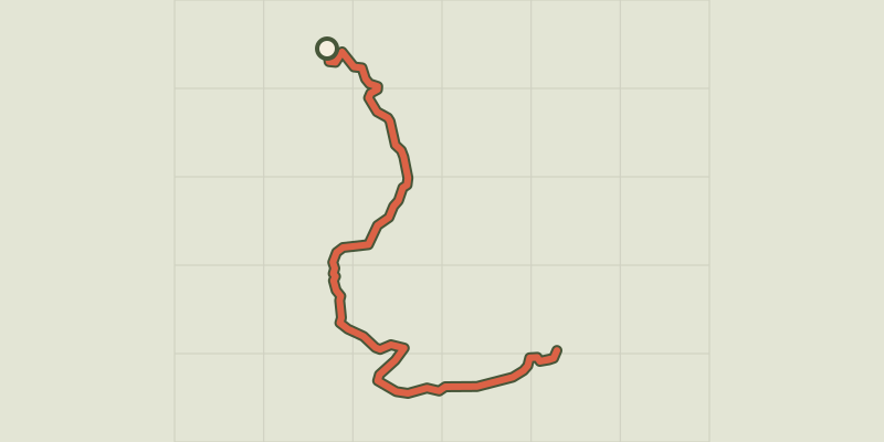
 © OpenStreetMap, SRTM · OpenTopoMap (CC-BY-SA)
Courmes - Pic de Courmettes
Provence-Alpes-Côte d'Azur, Courmes (06) · Out and backOfficial rating by Parcs naturels régionaux de Provence-Alpes-Côte d'Azur © OpenStreetMap, SRTM · OpenTopoMap (CC-BY-SA)
Cipières - Plateau de Calern
Provence-Alpes-Côte d'Azur, Cipières (06) · LoopOfficial rating by Parcs naturels régionaux de Provence-Alpes-Côte d'Azur © OpenStreetMap, SRTM · OpenTopoMap (CC-BY-SA)
Plan des Noves
Provence-Alpes-Côte d'Azur, Vence (06) · LoopOfficial rating by Parcs naturels régionaux de Provence-Alpes-Côte d'Azur © OpenStreetMap, SRTM · OpenTopoMap (CC-BY-SA)
Gréolières - Circuit du Loup
Provence-Alpes-Côte d'Azur, Gréolières (06) · LoopOfficial rating by Parcs naturels régionaux de Provence-Alpes-Côte d'Azur © OpenStreetMap, SRTM · OpenTopoMap (CC-BY-SA)
Cheiron top
Provence-Alpes-Côte d'Azur, Gréolières (06) · Out and backOfficial rating by Parcs naturels régionaux de Provence-Alpes-Côte d'Azur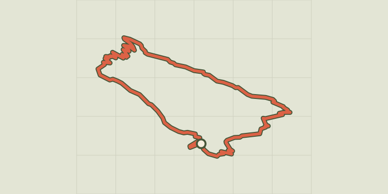 © OpenStreetMap, SRTM · OpenTopoMap (CC-BY-SA)
Coursegoules - Circuit de Viériou
Provence-Alpes-Côte d'Azur, Coursegoules (06) · LoopOfficial rating by Parcs naturels régionaux de Provence-Alpes-Côte d'Azur