
Plan des Noves

Key facts
- Distance
- 7.1 km
- Ascent
- +244 m
- Descent
- −221 m
- Estimated time
- 2 hr 05
- hiking
- Difficulty
- Easy
- official rating
- Route
- Loop
- back to the start
Profile and gradient
- under 10%
- 10 to 20%
- over 20%
Gradient along the route: 5.3 km under 10% and 1.8 km at 10 to 20%. Elevation from 647 m to 786 m over 7.1 km.
Description
This hike is an opportunity to come back to the rich agricultural past of Plan des Noves, former "granary" of the Vençois country. Panoramic peaks and canyon are waiting for you! "Just 10 minutes drive from the city center of Vence, Plan Noves, Natural Departmental Park, will leave you with the memory of an unforgettable outdoor experience. This exceptional natural heritage will certainly give you the desire to come back in any season to recharge your batteries. " Florent Bosco - OT from Vence From the Plan des Noves car park, go down slightly on the GR®51 until you reach the marker 65. 1- Take the path on the left to follow the circuit of Plan des Noves, until the marker 65a. 2- Turn right on the path (PR), 400 m further to the intersection turn left again on the path (PR) to gradually reach the ascent to the ridge. Go past the remarkable ruined sheepfold and continue 500 m to the crossroads. 3- Go down on the right on the path of "Mangia Pan" to find a track to reach the intersection. 4- Take the path on the right to return to point 1. Take the path used to go back to the Plan des Noves car park.
Difficulty
Official rating: easy, by Parcs naturels régionaux de Provence-Alpes-Côte d'Azur.
Before you go
- Beware of grazing areas, if you encounter a protection dog, behave appropriately.
Getting there
Start: Parking du Plan des Noves, Vence, Vence (06).
Sources
- Track: Parcs naturels régionaux de Provence-Alpes-Côte d'Azur (Chemins des Parcs), Licence Ouverte 2.0, Licence Ouverte 2.0 (Etalab) (www.cheminsdesparcs.fr/trek/56576-VENCE---Plan-des-Noves). Time estimated by GPX Path with the Mac app rule, breaks not included.
- Official elevation gain: 244 m, Parcs naturels régionaux de Provence-Alpes-Côte d'Azur
Nearby tracks
 © OpenStreetMap, SRTM · OpenTopoMap (CC-BY-SA)
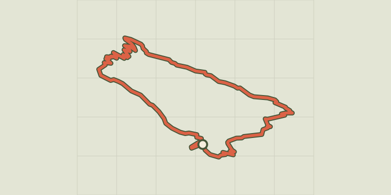
Coursegoules - Circuit de Viériou
Provence-Alpes-Côte d'Azur, Coursegoules (06) · LoopOfficial rating by Parcs naturels régionaux de Provence-Alpes-Côte d'Azur © OpenStreetMap, SRTM · OpenTopoMap (CC-BY-SA)
Coursegoules - Sentier sonore
Provence-Alpes-Côte d'Azur, Coursegoules (06) · Out and backOfficial rating by Parcs naturels régionaux de Provence-Alpes-Côte d'Azur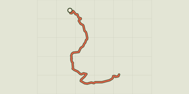 © OpenStreetMap, SRTM · OpenTopoMap (CC-BY-SA)
Courmes - Pic de Courmettes
Provence-Alpes-Côte d'Azur, Courmes (06) · Out and backOfficial rating by Parcs naturels régionaux de Provence-Alpes-Côte d'Azur © OpenStreetMap, SRTM · OpenTopoMap (CC-BY-SA)
Bouyon - Gorges de l'Esteron
Provence-Alpes-Côte d'Azur, Bouyon (06) · LoopOfficial rating by Parcs naturels régionaux de Provence-Alpes-Côte d'Azur © OpenStreetMap, SRTM · OpenTopoMap (CC-BY-SA)
Chemin du Paradis
Provence-Alpes-Côte d'Azur, Le Bar-sur-Loup (06) · LoopOfficial rating by Parcs naturels régionaux de Provence-Alpes-Côte d'Azur © OpenStreetMap, SRTM · OpenTopoMap (CC-BY-SA)
Cipières - Plateau de Calern
Provence-Alpes-Côte d'Azur, Cipières (06) · LoopOfficial rating by Parcs naturels régionaux de Provence-Alpes-Côte d'Azur