
Discovering Vaccarès by bike

Key facts
- Distance
- 46.8 km
- Ascent
- +41 m
- Descent
- −11 m
- Estimated time
- 2 hr
- road cycling
- Difficulty
- Easy
- official rating
- Route
- Loop
- back to the start
Profile and gradient
- under 10%
- 10 to 20%
- over 20%
Gradient along the route: 46.8 km under 10%. Elevation from 0 m to 11 m over 46.8 km.
Description
A walk through market gardens and rice fields to soak up the unique atmosphere of the Camargue! Located in the center of the Camargue Regional Natural Park, the Vaccarès pond offers the opportunity to admire many migratory birds and flamingos. Its 6600 hectares make it the largest pond in the Camargue and has a rich diversity both in terms of its fauna and flora. Place of rest and feeding of many birds, you will appreciate its natural setting. To achieve this, you will discover Camargue wildlife, between marshes and rice fields! Back to the Arles Tourist Office, turn left on boulevard des Lices then turn right on Gambetta street towards Trinquetaille. Cross the Rhone via the Pont de Trinquetaille and continue towards Saintes-Maries-de-la-Mer by the streets of the Camargue and the Verrerie. Continue for 1.5 km on the Avenue de la Camargue. At the roundabout, take the C108 direction Gimeaux. Continue on the road to Gimeaux for 3 km. 1- Turn left towards the arenas. Turn left on the C112 after passing the arenas. 2 - Take a right onto the D570 and continue for 250 m. Head to the left on the Dougue road (C125). Continue straight for 1.5 km. 3 - Turn right on the C154, then at the junction, continue on the small path of Sainte-Cécile. Continue towards the Vaccarès pond 4 - Take a right on the intersection with the D37. Continue for 250 m to the observation point of the Mas Neuf Vaccarès set up by the Camargue Regional Natural Park. Go back to step 4. Stay on the D37 towards Arles, for more than 6 km. In Villeneuve, continue straight. 5 - Turn left in the bend, 500 m after the restaurant "Chez Bob", on the road to Romieu (C132). 6 - Continue on the left at the intersection with the Azegat road (C133) for 2 km. Then turn left towards Gageron. At Gageron, continue on the C130, for 8 km 7 - At the junction with the path (C131) of Sainte-Cécile, keep right on Route de Bouchaud and continue straight for 3 km to point 3. Join Arles by the D570 then by Gimeaux on the same route as the outbound.
Difficulty
Official rating: easy, by Parcs naturels régionaux de Provence-Alpes-Côte d'Azur.
Before you go
- On the D570 and the D37, caution, dangerous passages!
Getting there
Start: Office de tourisme, Arles, Arles (13).
Sources
- Track: Parcs naturels régionaux de Provence-Alpes-Côte d'Azur (Chemins des Parcs), Licence Ouverte 2.0, Licence Ouverte 2.0 (Etalab) (www.cheminsdesparcs.fr/trek/14529-ARLES---A-la-decouverte-du-Vaccares-a-velo). Time estimated by GPX Path with the Mac app rule, breaks not included.
- Official elevation gain: 41 m, Parcs naturels régionaux de Provence-Alpes-Côte d'Azur
Nearby tracks
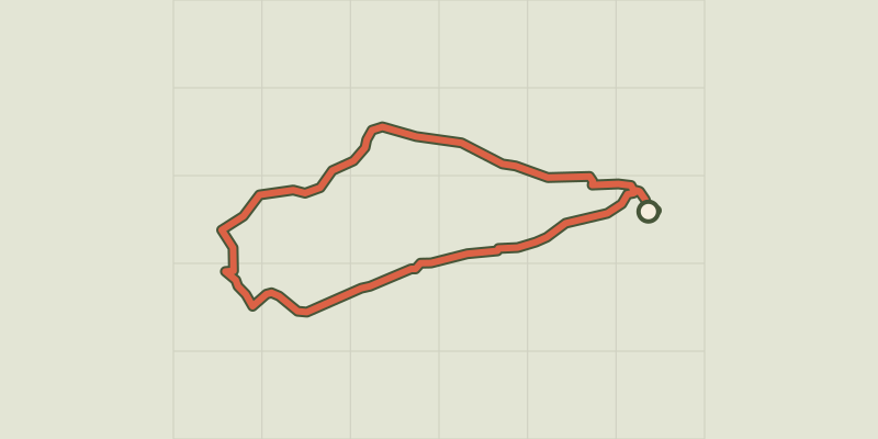
 © OpenStreetMap, SRTM · OpenTopoMap (CC-BY-SA)
The bulls and the vine bath by bike
Provence-Alpes-Côte d'Azur, Arles (13) · LoopOfficial rating by Parcs naturels régionaux de Provence-Alpes-Côte d'Azur © OpenStreetMap, SRTM · OpenTopoMap (CC-BY-SA)
Cycling along the ViaRhôna
Provence-Alpes-Côte d'Azur, Arles (13) · Point to pointOfficial rating by Parcs naturels régionaux de Provence-Alpes-Côte d'Azur © OpenStreetMap, SRTM · OpenTopoMap (CC-BY-SA)
Fontvielle - Des Alpilles à la Camargue à vélo
Provence-Alpes-Côte d'Azur, Fontvieille (13) · LoopOfficial rating by Parcs naturels régionaux de Provence-Alpes-Côte d'Azur © OpenStreetMap, SRTM · OpenTopoMap (CC-BY-SA)
Le Paradou - Le tour du Marais des Baux à vélo
Provence-Alpes-Côte d'Azur, Paradou (13) · LoopOfficial rating by Parcs naturels régionaux de Provence-Alpes-Côte d'Azur © OpenStreetMap, SRTM · OpenTopoMap (CC-BY-SA)
The Albaron marsh in Saliers by bike
Provence-Alpes-Côte d'Azur, Arles (13) · LoopOfficial rating by Parcs naturels régionaux de Provence-Alpes-Côte d'Azur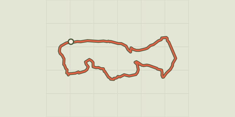 © OpenStreetMap, SRTM · OpenTopoMap (CC-BY-SA)
Saint Etienne du Gres - Cycling tour in Alpilles, in 3 days
Provence-Alpes-Côte d'Azur, Saint-Étienne-du-Grès (13) · Point to pointOfficial rating by Parcs naturels régionaux de Provence-Alpes-Côte d'Azur