
Le Col Lebraut

Key facts
- Distance
- 18.1 km
- Ascent
- +441 m
- Descent
- −417 m
- Estimated time
- 1 hr 20
- road cycling
- Difficulty
- Easy
- official rating
- Route
- Loop
- back to the start
Profile and gradient
- under 10%
- 10 to 20%
- over 20%
Gradient along the route: 17.2 km under 10% and 0.9 km at 10 to 20%. Elevation from 808 m to 1,216 m over 18.1 km.
Description
In 2017, during stage 19, the Col Lebraut witnessed the passage of the Tour de France. Now it's your turn to climb it! The tipping point between the Gapençais and the Durance valley, the Col Lebraut is a veritable lookout point over Lake Serre-Ponçon. Following a series of small roads that are as discreet as they are panoramic, the route you take will allow you to fully appreciate the area. But be prepared to push yourself to the limit to overcome the difficulties of this route. Your satisfaction will be all the sweeter! - From Chorges station, follow the railway line then cross it, heading for Montgardin. The road rises slowly and the hamlet of Montgardin comes into view. At the crossroads, take the left fork and follow the road to Champ Peyron. - Continue on the main road and cross the Jacques and its well-cleared plateau, with a very fine view of various mountain ranges. At the next crossroads, turn right towards the hamlet of le Fein. The slope steepens as you approach the forest. - Now cross through the undergrowth, on a sometimes tricky surface, then rejoin the D3 at the Col Lebraut (make a quick round trip to admire the view of the lake and the surrounding mountains). - Now descend towards Chorges, enjoying the scenery. Pass under the N94 and, 200 m further on, turn left to return to the station car park.
Difficulty
Official rating: easy, by Parc national des Écrins.
Getting there
Start: Parking de la gare, Chorges, Chorges (05).
Sources
- Track: Parc national des Écrins, Licence Ouverte 2.0, Licence Ouverte 2.0 (Etalab) (destination.ecrins-parcnational.fr/trek/996008-Le-col-Lebraut). Time estimated by GPX Path with the Mac app rule, breaks not included.
- Official elevation gain: 441 m, Parc national des Écrins
Nearby tracks

 © OpenStreetMap, SRTM · OpenTopoMap (CC-BY-SA)
Tour of Mont Colombis
Provence-Alpes-Côte d'Azur, Chorges (05) · LoopOfficial rating by Parc national des Écrins © OpenStreetMap, SRTM · OpenTopoMap (CC-BY-SA)
The balconies of Chorges
Provence-Alpes-Côte d'Azur, Chorges (05) · LoopOfficial rating by Parc national des Écrins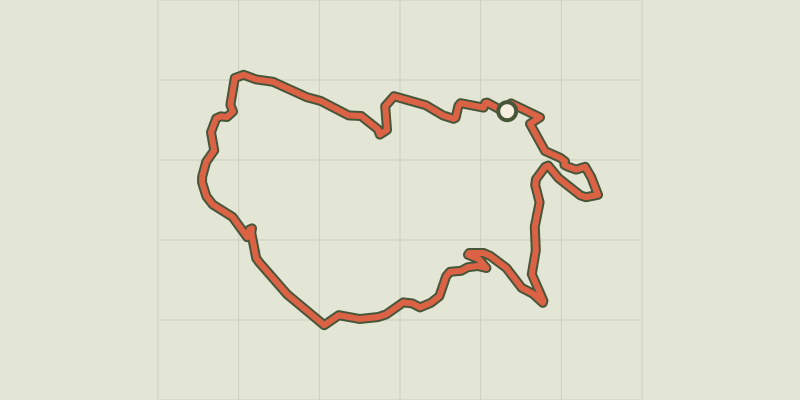 © OpenStreetMap, SRTM · OpenTopoMap (CC-BY-SA)
Discovering Les Olliviers
Provence-Alpes-Côte d'Azur, Chorges (05) · LoopOfficial rating by Parc national des Écrins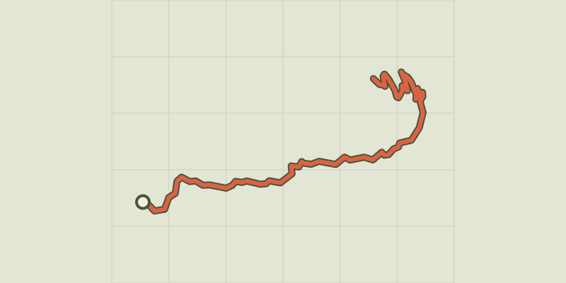 © OpenStreetMap, SRTM · OpenTopoMap (CC-BY-SA)
Montée de Réallon depuis Chorges
Écrins, Chorges (05) · Point to pointOfficial rating by Parc national des Écrins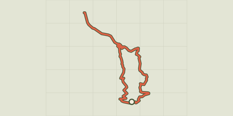 © OpenStreetMap, SRTM · OpenTopoMap (CC-BY-SA)
At the gateway to the Ecrins
Écrins, Savines-le-Lac (05) · LoopOfficial rating by Parc national des Écrins © OpenStreetMap, SRTM · OpenTopoMap (CC-BY-SA)
Montée de Réallon depuis Savines-le-Lac
Écrins, Savines-le-Lac (05) · Point to pointOfficial rating by Parc national des Écrins